
What's New
• Database updates and corrections.
• App enhancements and minor bug fixes.
App Description
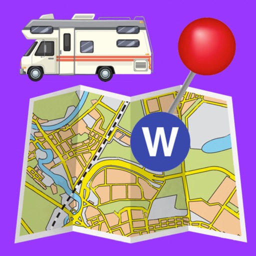
The Ultimate Campground Project app shows publicly-owned, non-commercial campgrounds across the entire United States, including Hawaii and Alaska. In this app you will find campgrounds ranging from full-service locations at state parks and Corps of Engineers parks to remote boondocking and back-packing locations with no facilities or services. It is based on data from the web-based Ultimate US Public Campground Project www.ultimatecampgrounds.com. Included are US Forest Service, Bureau of Land Management, National Park Service, Fish & Wildlife Service, Bureau of Reclamation, Corps of Engineers, Pacific Crest Trail, state parks and other state facilities, county and regional parks, municipal parks, utility company facilities, Indian reservations, military, Tennessee Valley Authority, non-profit (museums and conservation groups) and a handful of miscellaneous locations. NOTE THAT THIS APP DOES *NOT* INCLUDE PRIVATE/COMMERCIAL CAMPGROUNDS, ONLY PUBLIC.
Current statistics:
Almost 39,300 total campsites.
Over 19,600 of the campsites are FREE!
Over 23,700 of the campsites are $10 or under!
This app is intended for everyone regardless of their camping interests - it can be filtered by the facility owner, such as Forest Service or county. Users can also filter on camping preference, such as Tent, RV or Back-Country, or even if it has showers or not. Mark locations as your "favorite." Get driving directions to the campground.
An updated database for this app is available approximately every month so you have the most recent and up-to-date information available. For more info click the Support button.
Clicking on a campground location on the map shows available information about each location such as total number of camp sites, number of RV sites, number of electric hookups, whether there are showers and/or an RV dump station, fees, nearest town, phone number, elevation, web site and more. Read and leave reviews. Of course the app can only show what information that can be discovered for each location.
Choose between Apple Maps and OpenStreet Maps.
Note that this app does NOT contain information on commercial campgrounds such as KOAs. Military campgrounds are included because they are government-owned, but in most cases their use is limited to active-duty and retired military personnel.
Send the location data to our Road Trip Planner app to help you plan your next camping trip!
Import routes from a GPX file.
Easily search the Internet for more info on each location as well as download public Flickr images that are geotagged as near the location.
In an effort to continually improve the accuracy of the data, users are encouraged to submit corrections and suggestions.
This app is functionally similar to the iPhone / iPad app with a similar name.
iPhone Screenshots
(click to enlarge)


App Changes
- June 07, 2014 Initial release
- June 09, 2014 Price decrease: $5.99 -> $3.99
- June 12, 2014 Price increase: $3.99 -> $5.99
- July 19, 2014 New version 1.6
- August 30, 2014 New version 1.6.1
- September 20, 2014 New version 1.6.2
- October 04, 2014 New version 1.7
- September 12, 2015 New version 1.9
- October 28, 2015 New version 2.0
- December 22, 2015 New version 2.1
- January 30, 2016 New version 2.2
- February 19, 2016 New version 2.2.1
- February 19, 2016 Price increase: $5.99 -> $7.99
- February 20, 2016 New version 2.2.2
- June 21, 2016 New version 2.2.4
- August 01, 2016 New version 2.3
- November 02, 2016 New version 2.4.1
- December 29, 2016 New version 2.4.2
- June 15, 2019 New version 2.5.95
- June 15, 2019 Price decrease: $7.99 -> $2.99
- June 17, 2019 Price decrease: $7.99 -> $2.99
- July 14, 2020 New version 2.5.97
- October 22, 2020 New version 2.5.981
Other Apps From William Modesitt