
App Description
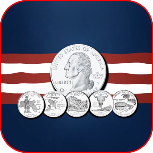
With this 50 State Interactive Educational Map, children can learn about geography, history, state capitals, birds and flowers, and more using quarters from the most popular coin program in U.S. History.
View images of all 50 state quarters and then drag them to the correct state on a U.S. map. When done successfully, you can see a 360-degree rotating image of each quarter and a variety of state facts. Store your favorite state quarters in a virtual album and challenge yourself with a variety of state trivia quizzes.
iPad Screenshots
(click to enlarge)


App Changes
- June 13, 2014 Initial release
Other Apps From F Plus W Media, Inc.