App Description
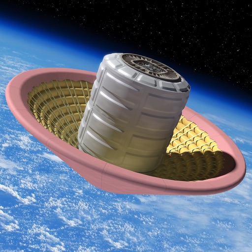
Follow NASA's Ice, Cloud, and land Elevation Satellite-2 (ICESat-2) as it orbits Earth and measures the height of our changing planet. See when the satellite will be flying near you or your favorite places in the future.
ICESat-2, launched in 2018, uses green lasers to track elevation changes in polar ice sheets, glaciers, and sea ice, but also measures trees, land, water, and more, providing a precise height map of our entire planet in unprecedented detail.
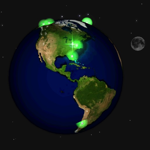
The app makes it easier for users to see exactly when ICESat-2 will be passing over any location in the world. Users can choose a specific search location and radius to view future flybys of the satellite, with search results yielding data up to three months into the future. The app can be used to plan an observation of the satellite as it passes overhead, plan a citizen science field campaign, or for knowing when elevation data for a specific location will become available online through the National Snow and Ice Data Center (NSIDC).
Features:
• Specify a location of interest (via map, latitude/longitude entry, or current location) to see when ICESat-2 will be flying by
• View upcoming orbit flybys in a map or list format
• Add overflights to favorites for easy reference in the future
• Read more about the mission, related citizen science objectives, and where to access data returned by the satellite
iPhone Screenshots
(click to enlarge)


App Changes
- September 15, 2023 Initial release
Other Apps From NASA