
What's New
Fix Mie data visualization
App Description
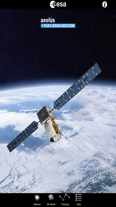
This application is a gateway to knowing what the ESA Aeolus mission is about, how it works and what the elements of the space and ground segment that makes this mission unique are.
It includes also a dedicated section that allows one to discover and visualize real ESA Aeolus measurements over our planet: a remarkable tool for students and scientists engaged in using Aeolus products or interested in satellite engineering.
Features:
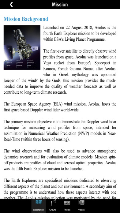
- Description of the ESA Aeolus mission: space and ground segment
- Large selection of photos and videos on a wide range of topics related to Aeolus
- Latest mission operations news
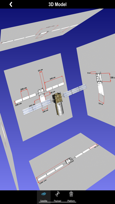
- Striking Aeolus 3D model with explanations of the different platform and payload elements
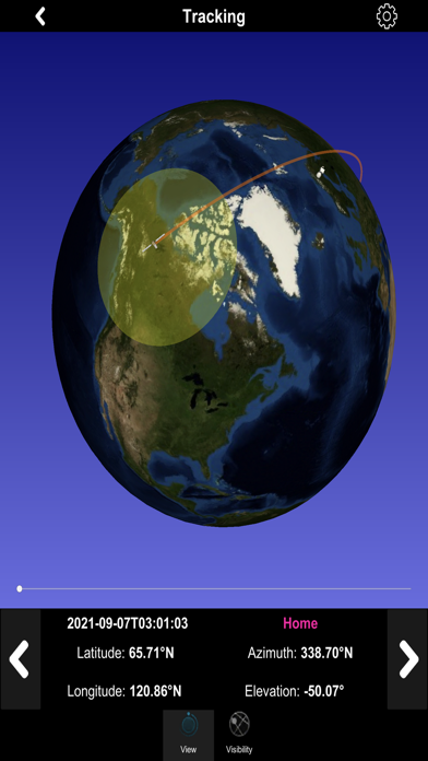
- World map with orbit position of the ESA satellite
- Satellite visibility over selected ground stations and local position
- Automatic update of the Aeolus orbit
- Impressive visualization of real Aeolus measurements over the Earth with vertical profiles and easy geographical localization
- Access to several geophysical parameters measured by the satellite
… and much more
In the 3D environment:
- swipe/pinch to rotate/zoom the scene or the satellite model
- triple touch to reset position
iPhone Screenshots
(click to enlarge)

iPad Screenshots
(click to enlarge)


App Changes
- October 05, 2021 Initial release
- September 15, 2023 New version 1.3
Other Apps From European Space Agency