
What's New
This app has been updated by Apple to use the latest Apple signing certificate.
App Description
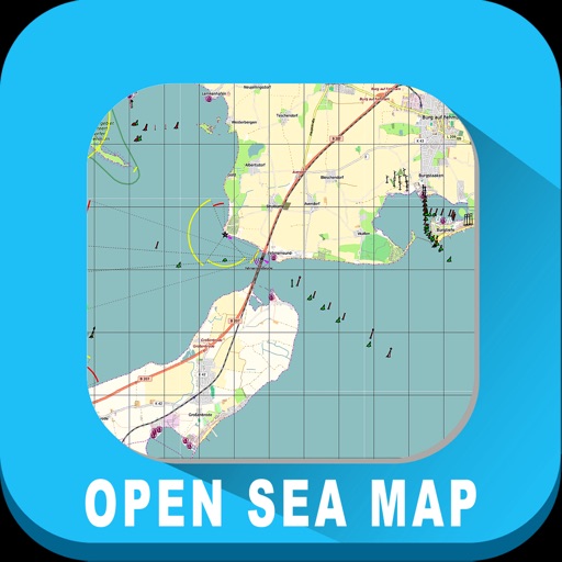
OpenSeaMap App contains information on oceans, rivers, and topography. OpenSeaMap provides access to a wealth of information for skippers of sailing and motor boats and much more.
App Features:
Shows your current location on the map (turn on GPS)
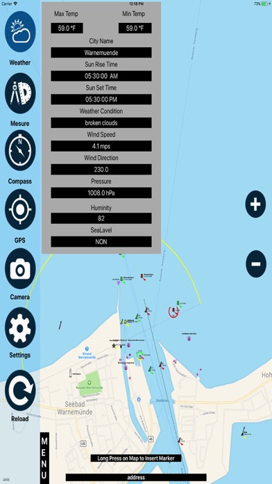
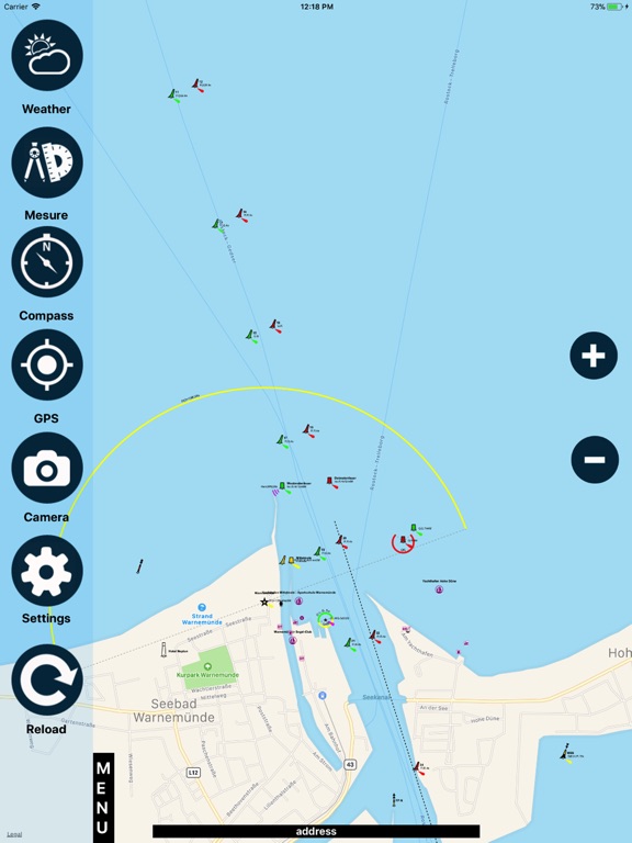
Displays worldwide sea chart
Search for geolocations
Chart plotting with continuous tracking
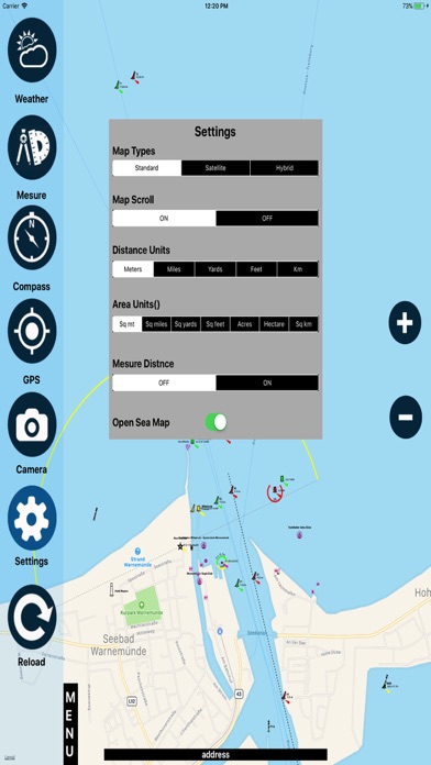
Settings (units/Compass/Map related functions)
Create, edit & deleted waypoints
Zoom in/out
Weather (Current conditions)
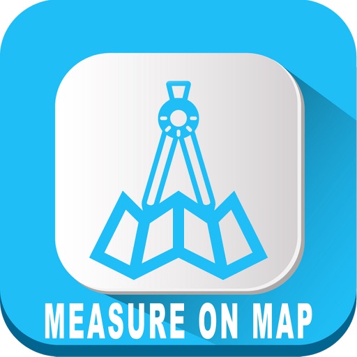
Measure (Area/Length)
Favorites (add/Delete)
GPS Info (Lat/Lon Speed..)
Camera (Photo/video)
OpenSeaMap is part of OpenStreetMap.
---------------------------------------------------------
Simple graphic & Easy to use
Developed with latest technology
Supports all devices
All updates are free
Disclaimer:
Users need Proper Network connections or Wi-Fi to play this app.
Continuous use of GPS running in the background can reduce battery life.
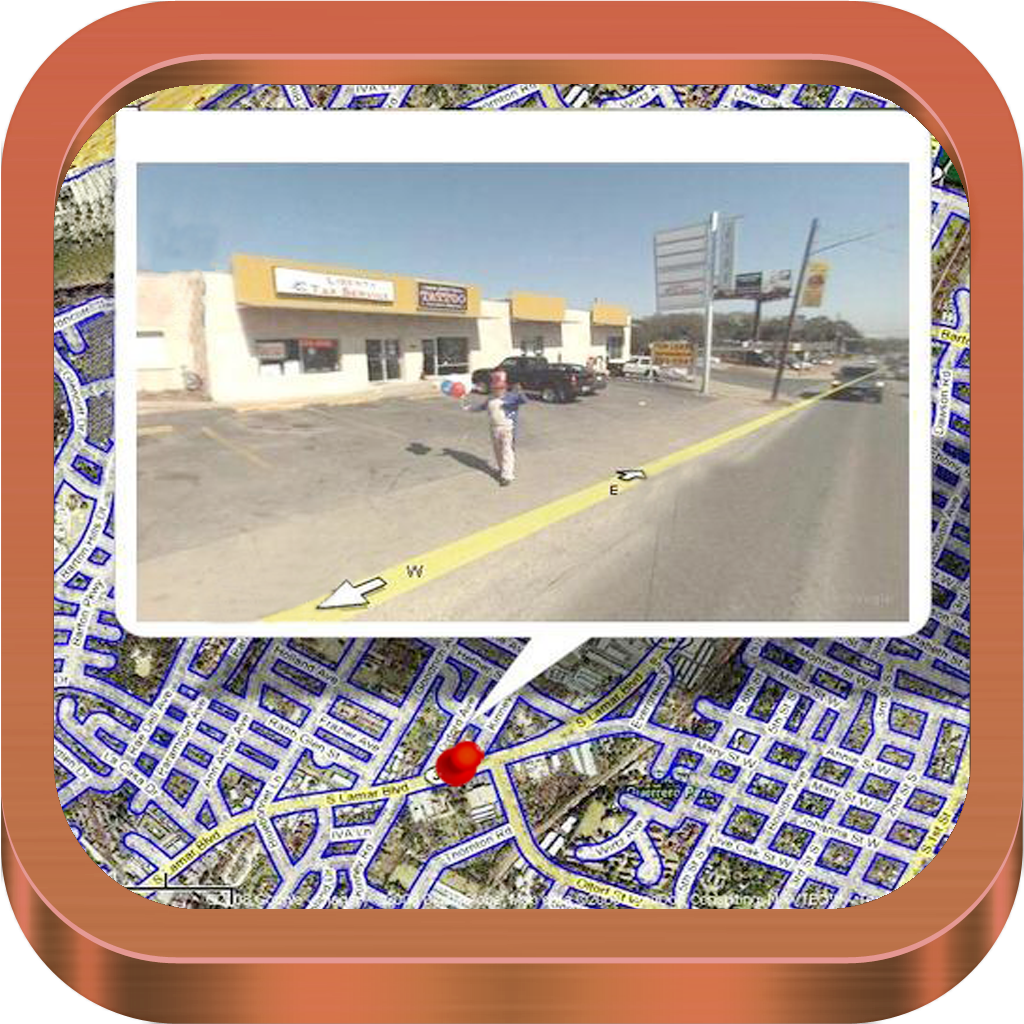
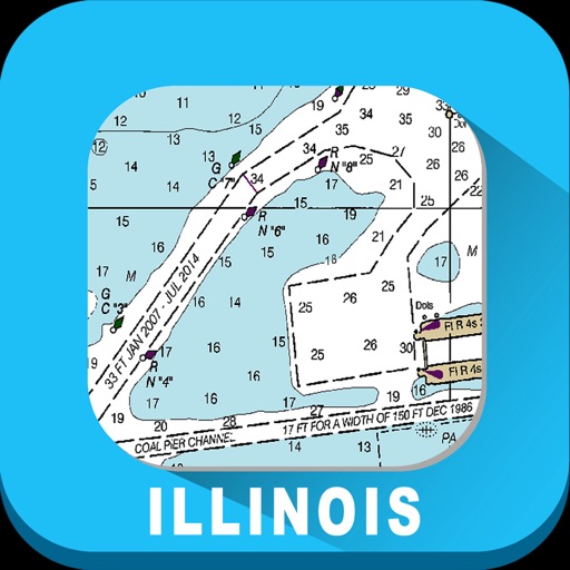
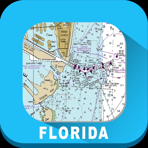
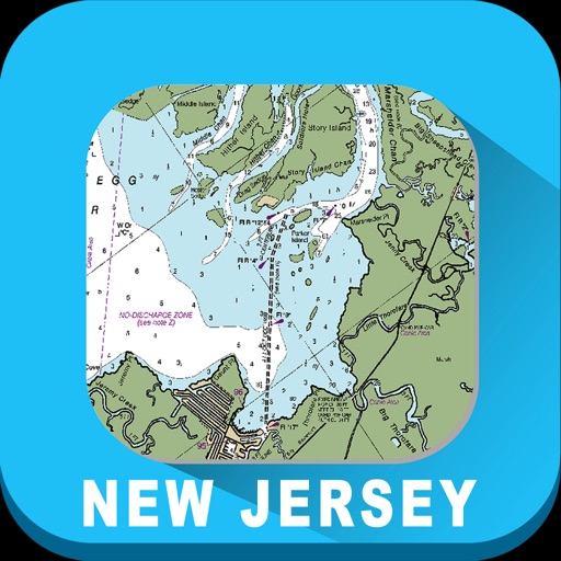
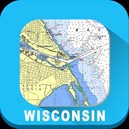
iPhone Screenshots
(click to enlarge)


iPad Screenshots
(click to enlarge)


App Changes
- May 03, 2018 Initial release
- June 13, 2019 Price decrease: $2.99 -> $1.99
- June 13, 2019 Price decrease: $2.99 -> $1.99
- June 14, 2019 Price decrease: $2.99 -> $1.99
- June 14, 2019 Price decrease: $2.99 -> $1.99
- June 15, 2019 Price decrease: $2.99 -> $1.99
- June 15, 2019 Price decrease: $2.99 -> $1.99
- June 16, 2019 Price decrease: $2.99 -> $1.99
Other Apps From VIDUR IT TECHNOLOGIES PRIVATE LIMITED