
App Description
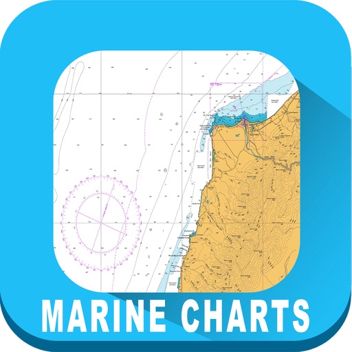
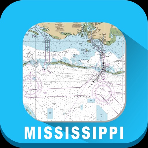
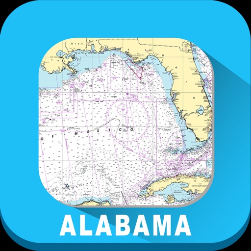
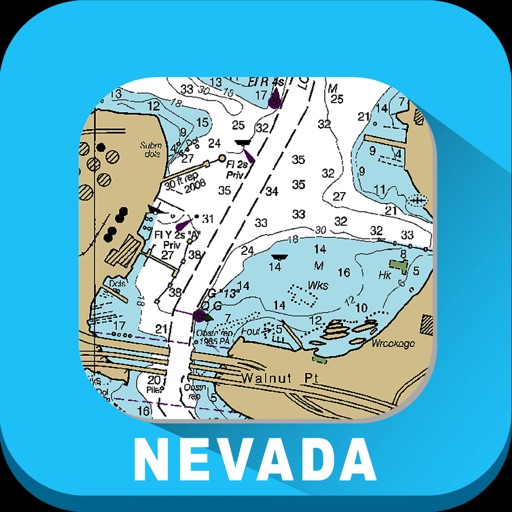
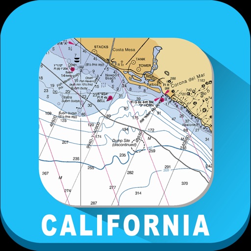
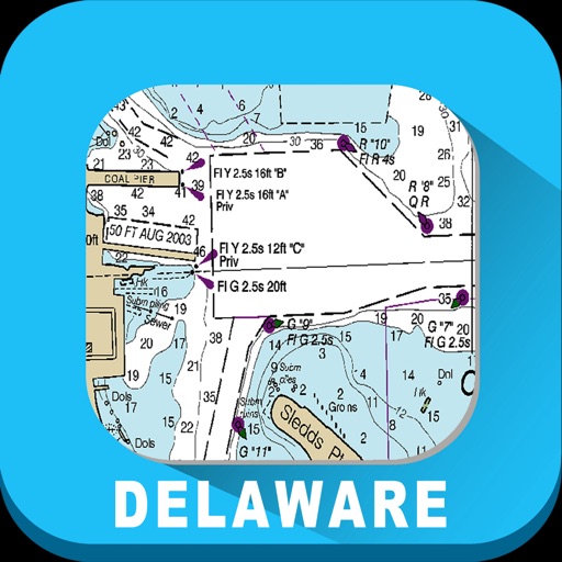
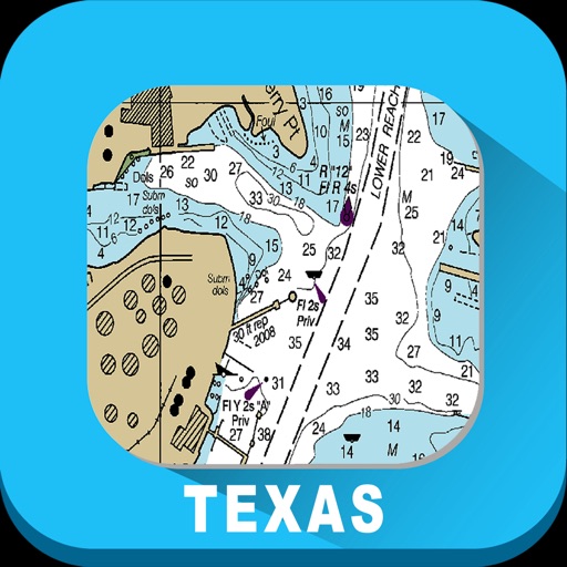
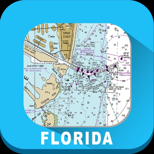
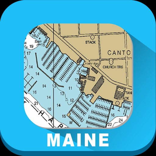
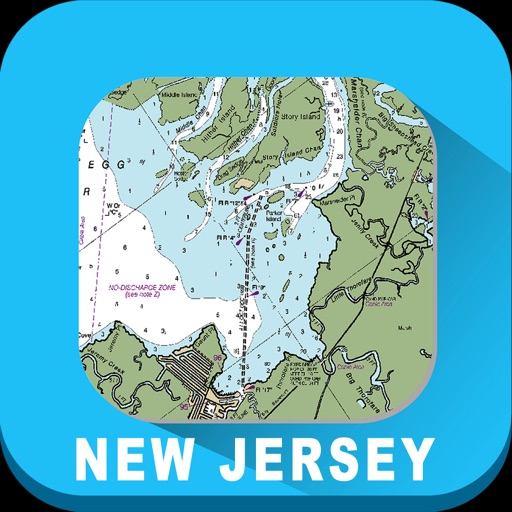
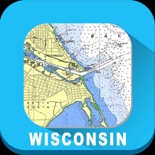
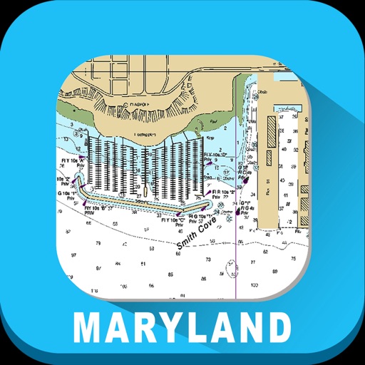
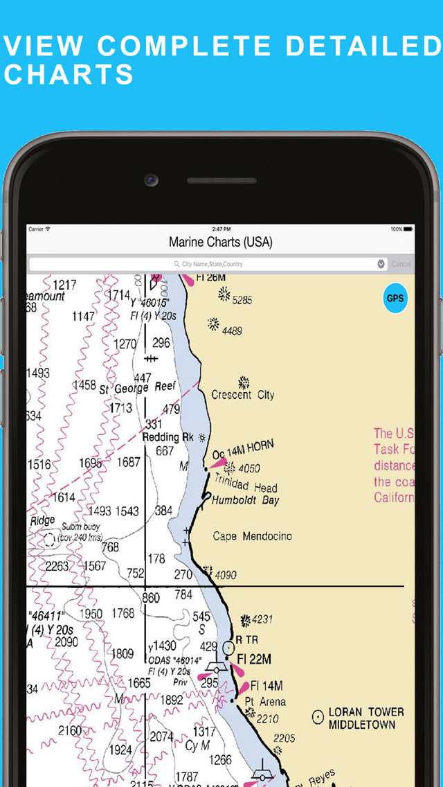
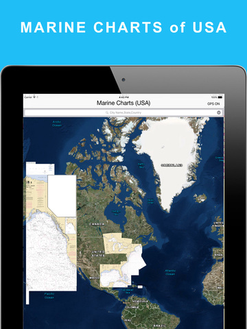
Marine Charts (USA) app display the NOAA Rasters for USA Region
The charts provide a consistent view of the marine environment
App lets users see charts without having to download and integrate multiple charts for their area of interest.
Features:
- View Rasters covering the entire USA
- swipe and pinch on the map to zoom in and pan around
- precise zoom buttons
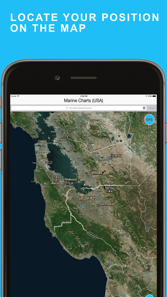
- Find your current location
- search for cities and locations
- User friendly interface
- Universal app
- No ads
Disclaimer:
- Not to be used for navigation
- Continuous use of GPS will drain the battery life drastically.
- The maps may contain errors or may be incomplete. You use the maps on your own risk.
iPhone Screenshots
(click to enlarge)


iPad Screenshots
(click to enlarge)


App Changes
- June 20, 2016 Initial release
Other Apps From VIDUR IT TECHNOLOGIES PRIVATE LIMITED