
What's New
Bug Fixes
App Description
The Wildfire and Earthquake Tracker is an interactive mapping application that tracks US wildfires and Global earthquakes. The data feed comes from the USGS and and US Forestry Service. This map provides you with up to the minute data and access to global wildfire's as well as reported earthquakes.
-Wildfire Information and Location
-Earthquake Information and Location
-GPS integration
-Interactive Map
-Map Tables with data analysis
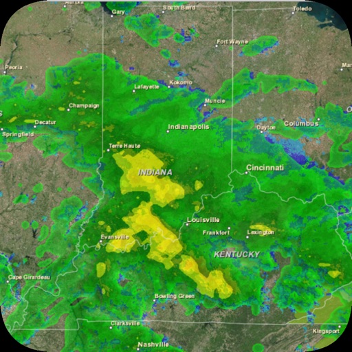
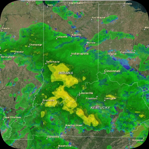
iPhone Screenshots
(click to enlarge)


iPad Screenshots
(click to enlarge)


App Changes
- October 07, 2015 Initial release
- June 30, 2016 New version 2
- June 14, 2019 New version 2.1
- July 14, 2020 New version 2.2
- October 23, 2020 New version 2.4
Other Apps From corey hoggard