

What's New
This app has been updated by Apple to display the Apple Watch app icon.
Distances To version 1.3 now fully supports iPhone X and supports other iOS devices better than before.
This release offers better memory management and rendering.
Now previously entered addresses are saved and therefore will no longer require you to retype the addresses. A total of 5 addresses are saved. Newly entered addresses replace previously entered ones. This upgrade was made possible due to two reviewer comments.
The app also saves previously viewed data and automatically displays that data when the app is reopened.
If you've previously researched the distance, travel time, route elevation etc., between two or three points, navigating to the menu and selecting another "calculations" option, will show data based on those previously entered points.
Navigating the app is much easier and more precise.
Important information is more prominently displayed and information which was cluttering up pages has been removed.
Quite a few UI changes were made which are subtle yet make a huge difference.
Reduced app size by half.
App Description
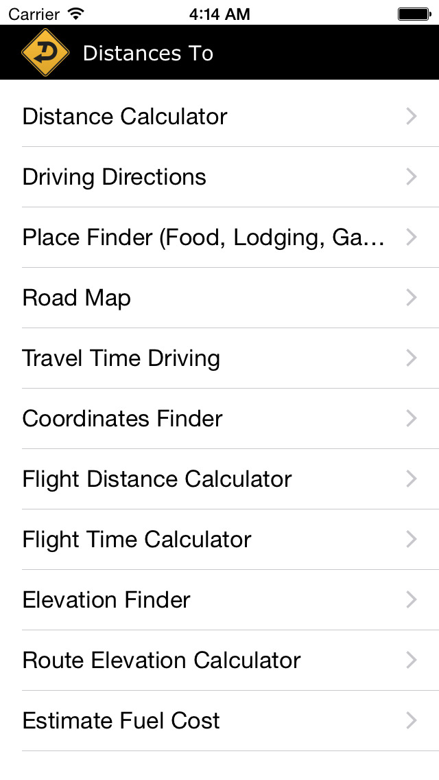
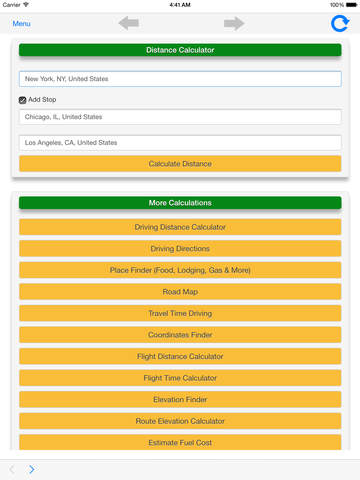
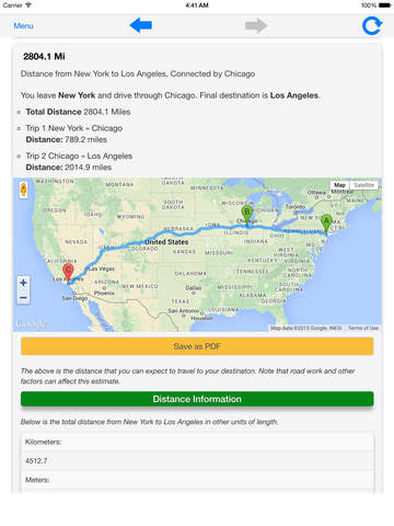
Distances To provides a way to calculate driving distances, flight distance, fuel cost, land elevation, route elevation, travel time and more. Note that an internet connection is required.
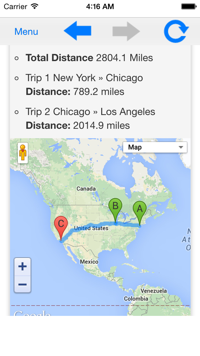
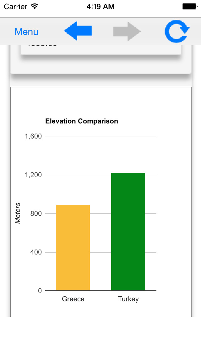
With support for countries all around the world, you can calculate the distance to, from and between cities, towns, villages and/or countries. Calculations are displayed in miles, kilometers, meters and/or feet.
Additionally, you can:
Find coordinates for locations in DMS or decimal format, view road maps, get driving directions and find places near you.
The places finder helps you find and get driving directions to: car rental locations, gas stations, lodging facilities, post offices, public transportation locations and more.
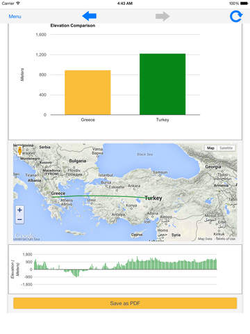
Distances To also displays user friendly visual elements such as maps, charts and even offers a save to PDF option for the driving distance, flight distance, fuel cost, land elevation, route elevation and travel time calculators as well as the coordinates finder.
By saving this information to a PDF file, you can better plan your trip, organize your data and even access the information offline.
iPhone Screenshots
(click to enlarge)


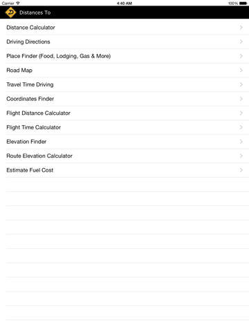
iPad Screenshots
(click to enlarge)

App Changes
- May 11, 2015 Initial release
- August 17, 2016 New version 1.2
- June 14, 2019 New version 1.3
Other Apps From Danny Pajevic