
App Description
Main Features:
This app includes zoomable diagrams for the Chicago 'L' Train.
Maps work underground even if there is no connection to the internet!
The maps will automatically update when a newer map is avaiable (requires network connection).
The maps are given the entire screen! We don't use tabbed views and other navigation mechanisms that take up valuable real estate. A costom slide-out menu design is used.
Smooth scrolling and zooming
Other features:
Pinch to zoom in and out
Double-tap to zoom in by a factor of 2
At full zoom, double-tap to zoom out by a factor of 8
The map initially opens at an optimal position
When the map is seen in its entirety by fully zooming out, the full view is preserved under orientation changes.
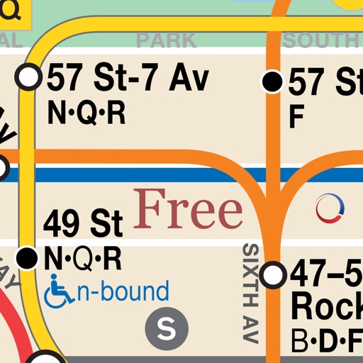
iPhone Screenshots
(click to enlarge)


iPad Screenshots
(click to enlarge)


App Changes
- May 18, 2013 Initial release
- May 31, 2013 Price decrease: $1.99 -> FREE!
- June 16, 2013 Price increase: FREE! -> $0.99
- June 25, 2013 Price decrease: $0.99 -> FREE!
- December 20, 2014 Price increase: FREE! -> $0.99
Other Apps From Covariance Technologies, LLC