
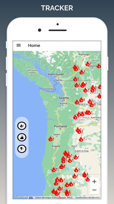
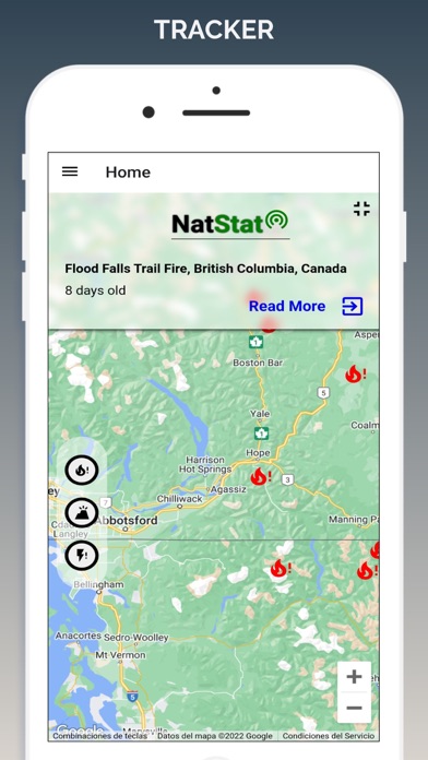
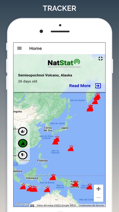
App Description
Monitor wildfires, volcanoes, and global storms with Fire Map Tracker.
Fire Map Tracker is an interactive map app that shows current and past wildfires in the US as well as volcanic activities and hurricane storms around the world.
DISCLAIMER: Wildfire Map is designed for educational purposes only. Never use Fire Map Tracker to protect yourself, other people, animals or property from natural disasters like wildfires or other threats that the app may indicate.
Completely free application.
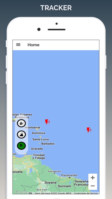
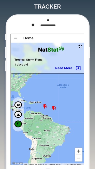
iPhone Screenshots
(click to enlarge)
iPad Screenshots
(click to enlarge)


App Changes
- October 03, 2023 Initial release
Other Apps From Luz Ochoa