
App Description
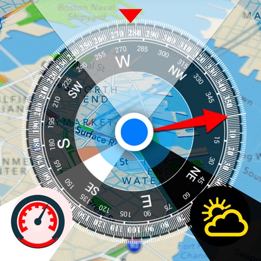
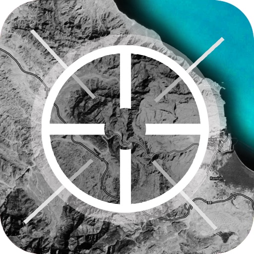
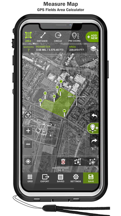
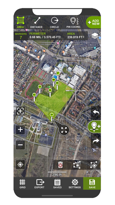
Tactical pro tool for measuring areas on the map. Place your points on the map and then calculate area between all point, calculate total Area of ant Route.
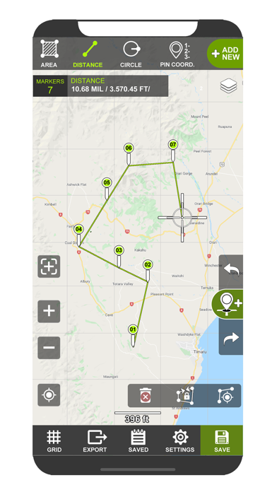
Measure any distance, route, or area you want, over Maps
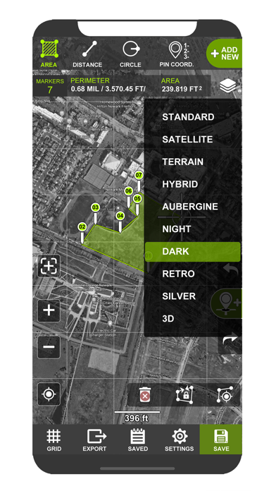
STANDARD SATELLITE TERRAIN HYBRID AUBERGINE NIGHT DARK
For accurate measurement, it is possible to connect an external GNSS or RTK antenna via bluetooth.
-Measure distance
-Measure Area
-Circle View
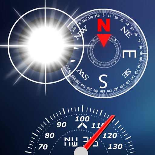
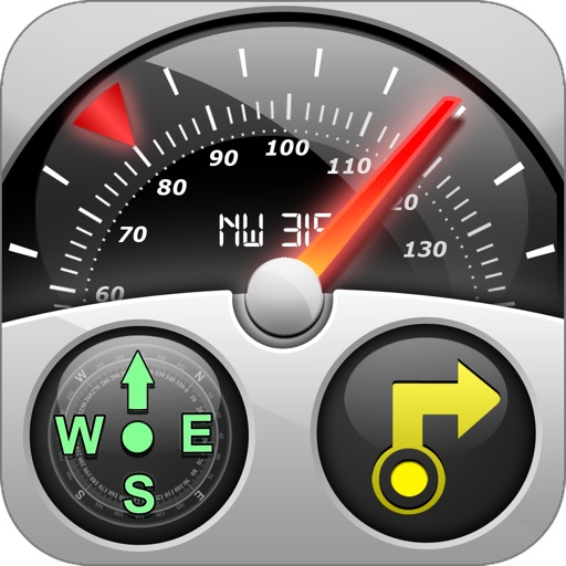
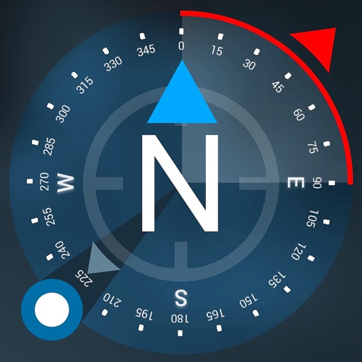
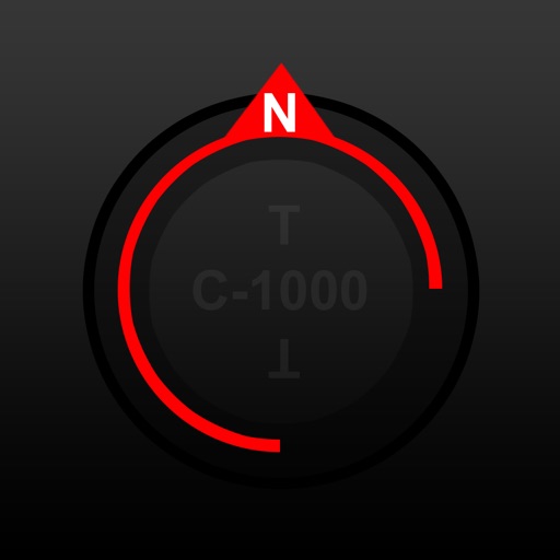
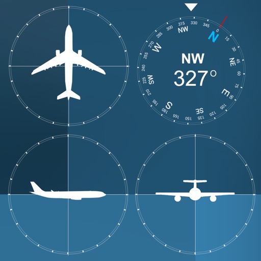
-Map compass
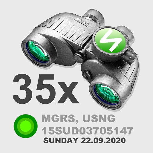
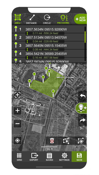
>Support UTM & MGRS coordinates
Coordinate types:
- Dec Degs (DD.dddddd°)
- Dec Degs Micro (DD.dddddd "N, S, E, W")
- Dec Mins (DDMM.mmmm)
- Deg Min Secs (DD°MM'SS.sss")
- Dec Mins Secs (DDMMSS.sss")
- UTM (Universal Transverse Mercator)
- MGRS (Military Grid Reference System)
> Measurement units;
-Foot & mile (ft.mi)
-Foot,Mile & Acre (ft,mi,ac)
-Foot (ft)
-Metric (m,km)
-Yard (yd)
-Nautical Mile (nmi)
iPhone Screenshots
(click to enlarge)
App Changes
- December 25, 2021 Initial release
- September 15, 2023 Price decrease: $3.99 -> FREE!
Other Apps From Tigran Mkhitaryan