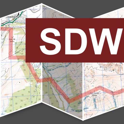

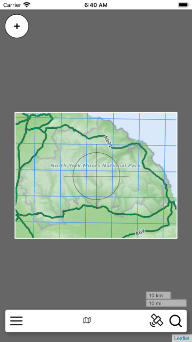
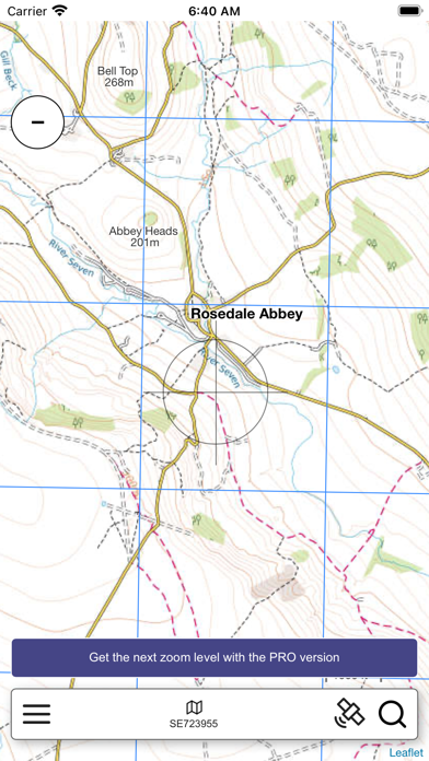
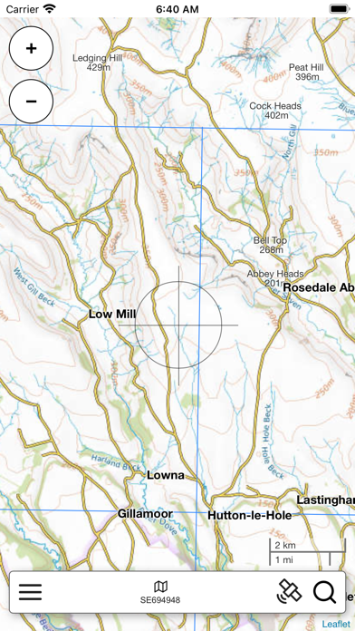
App Description
An offline map of the North York Moors National Park in England, ideal for hiking, running, mountain biking / cycling. Being offline means unlike other map apps, you don't need a signal to access detailed maps of the area.
Features:
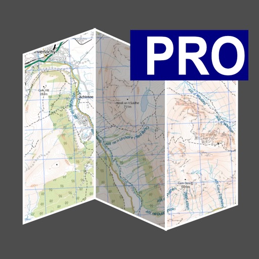
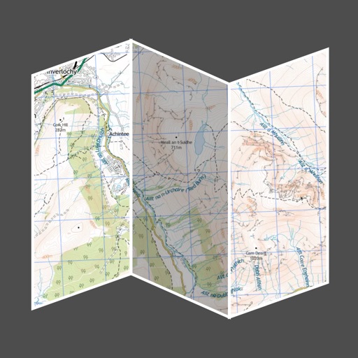
* Clearly see footpaths, tracks and contours
* Search for not just towns, but also lakes and hills, cliffs/crags and ridge names
* Location in OS grid reference coordinates
* Find your location using your phone GPS
* Show or hide various features
iPhone Screenshots
(click to enlarge)
iPad Screenshots
(click to enlarge)


App Changes
- October 15, 2021 Initial release
Other Apps From Jonathan Shutt