
What's New
Added a message to show re-routing in progress
App Description
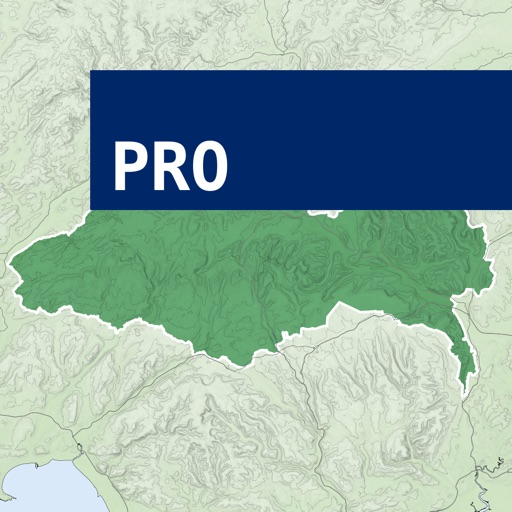
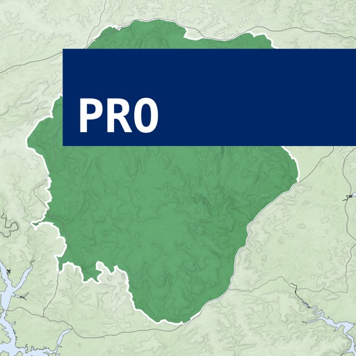
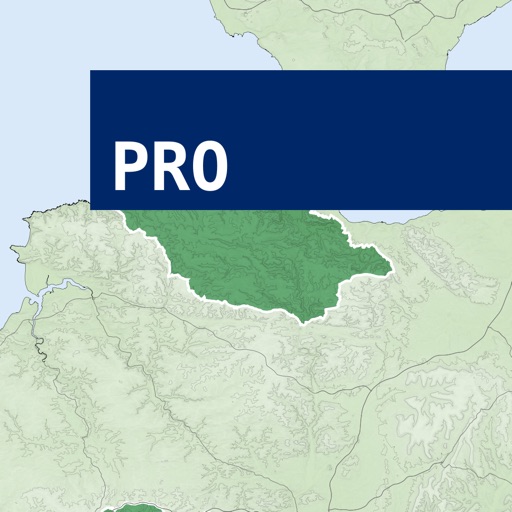
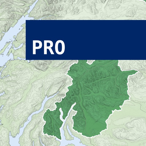
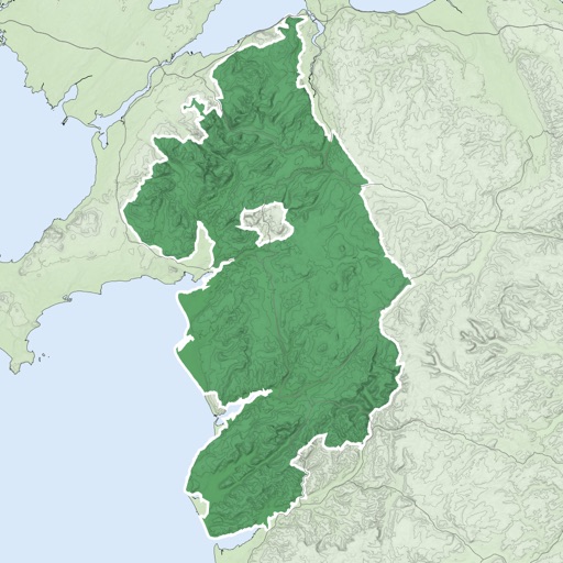
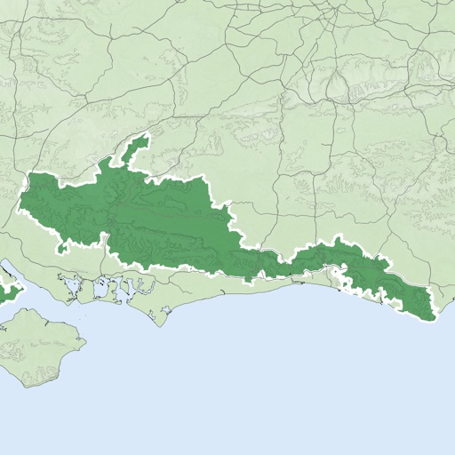
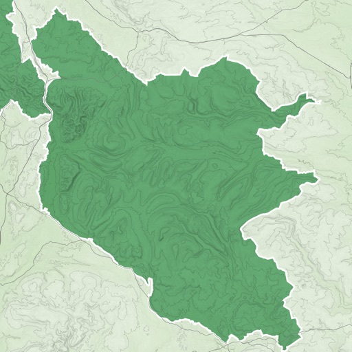
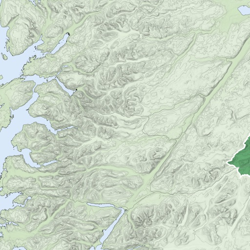
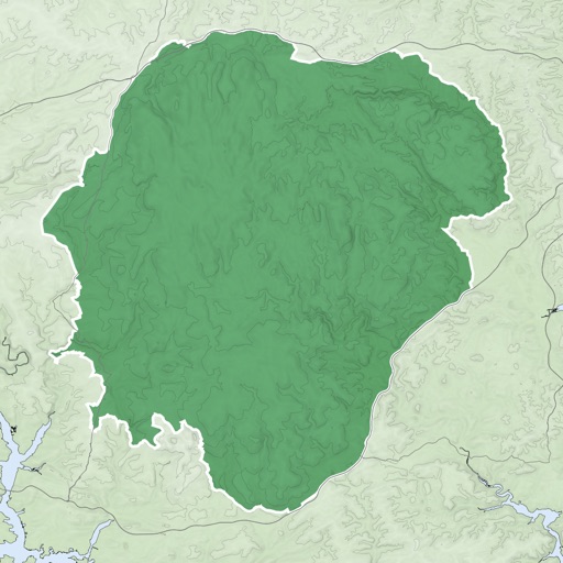
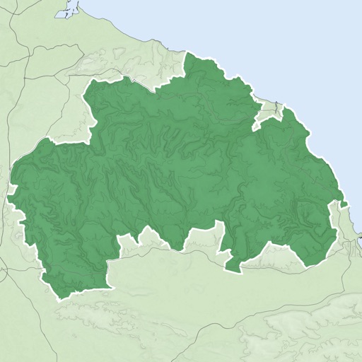
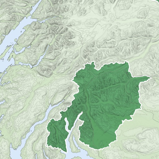
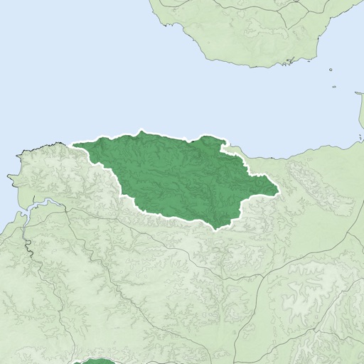
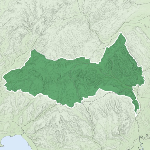
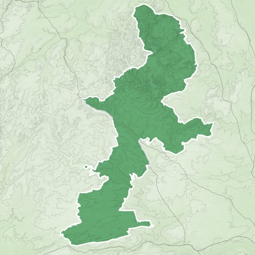
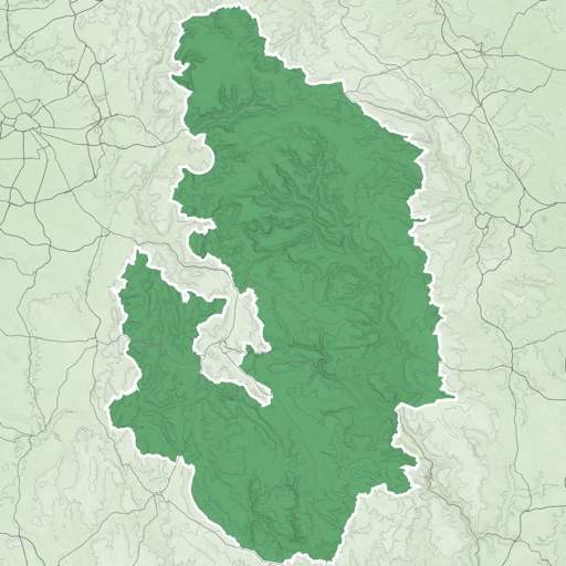
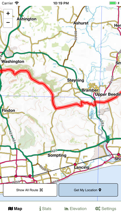
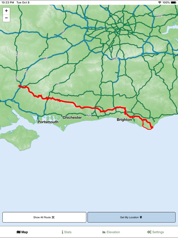
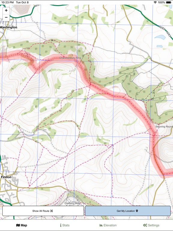
A detailed fully offline outdoor topographic style route map for the entire South Downs Way hiking trail.
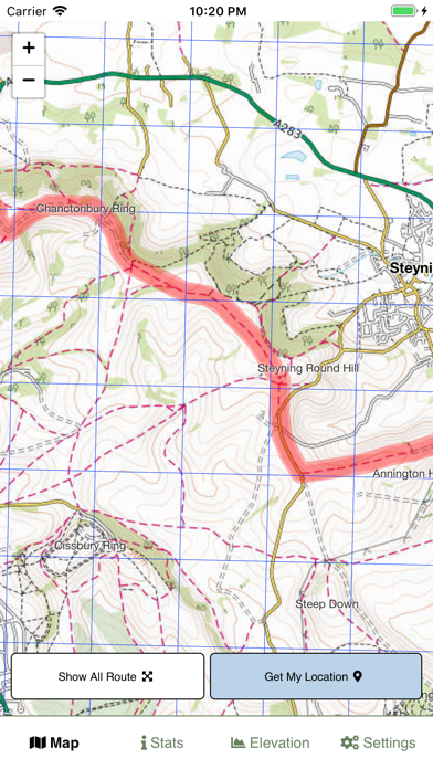
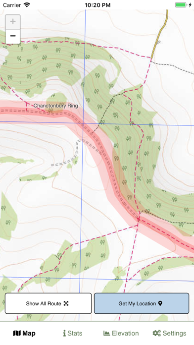
Clear mapping of footpaths and tracks
Fully offline maps - no data downloaded after installing the app
Hiking route highlighted
Your location shown using phone GPS
1km grid squares to help judge distances
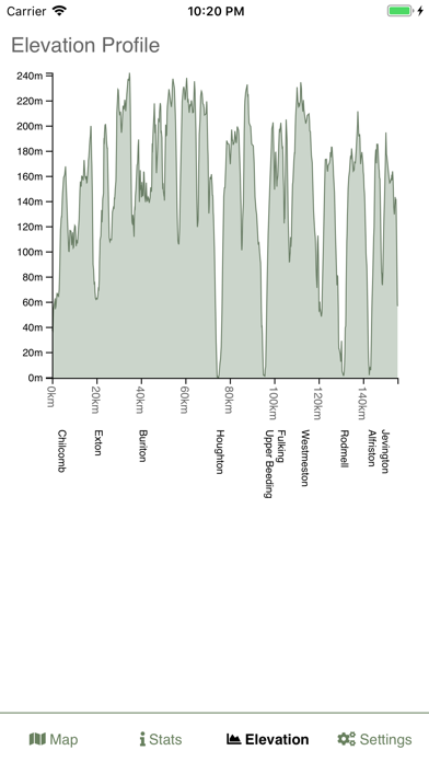
Elevation chart with key place names
Stats on how far you are through the route
iPhone Screenshots
(click to enlarge)

iPad Screenshots
(click to enlarge)

App Changes
- October 09, 2019 Initial release
- October 15, 2019 New version 1.0.1
Other Apps From Jonathan Shutt