
What's New
Minor improvements for the EDDMapS Search feature so the app won't kick users out for tapping the table view before searching, the Cancel button appears in the correct white color and the search bar placeholder is more easily seen with lighter, more differentiating text. For any questions, concerns or suggestions, email us either through the in app feedback feature or at [email protected].
App Description
EDDMapS is a mapping system for documenting invasive species distribution. It is fast, easy to use, and doesn't require Geographic Information Systems experience. Launched in 2005 by the Center for Invasive Species and Ecosystem Health at the University of Georgia, it was originally designed as a tool for state Exotic Pest Plant Councils to develop more complete distribution data of invasive species.
EDDMapS goal is to maximize the effectiveness and accessibility of the immense numbers of invasive species observations recorded each year.
Why do we care?
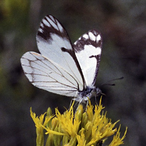
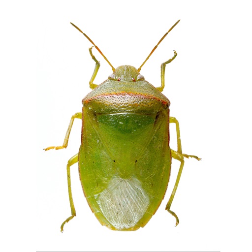
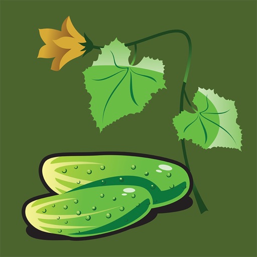
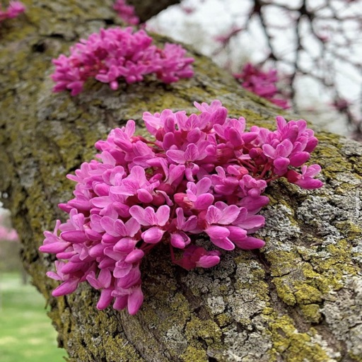
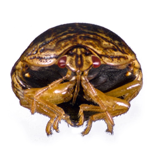
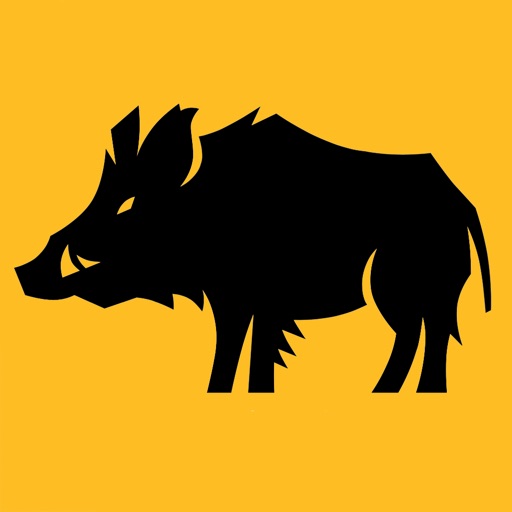
An invasive species is when a nonnative species causes or is likely to cause economic, environmental harm, or harm to human health. Invasive species negatively impact agriculture, recreation, natural ecosystems, biodiversity, and more. The first step is prevention of nonnative introduction. The second step is to map where the invasive species are found in the introduced area.
How does it work?
EDDMapS is a platform to document, display, and query the presence of invasive species. A simple, interactive Web interface engages participants to submit their observations or view results through interactive queries into the EDDMapS database. EDDMapS encourages users to participate by providing Internet tools that maintain their personal records and enable them to visualize data with interactive maps.
Users simply enter information from their observations into the standardized reporting form, which allows specific information about the infestation and images to be added. Uploaded data entered is immediately loaded to the database for verification. Once data is reviewed as correct by an expert, it is available for viewing and download. Being able to see the current data of a species as it moves into a new area helps to facilitate Early Detection and Rapid Response programs (EDRR). EDRR programs help stop or control an invasive species before it becomes an unmanageable problem.
All data is reviewed by expert verifiers to ensure all data is accurate prior to public availability. The data is freely available to everyone including scientists, researchers, land managers, land owners, educators, conservationists, ecologists, farmers, foresters, state, and national parks.
iPhone Screenshots
(click to enlarge)


iPad Screenshots
(click to enlarge)


App Changes
- July 16, 2020 Initial release
- November 12, 2020 New version 1.0.1
- August 06, 2021 New version 1.0.6
- September 15, 2023 New version 1.2.2
- October 04, 2023 New version 1.2.3
- March 19, 2024 New version 1.2.4
Other Apps From Charles T. Bargeron