
What's New
Compatibility with latest iOS
App Description
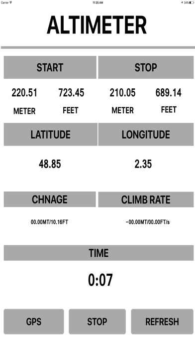
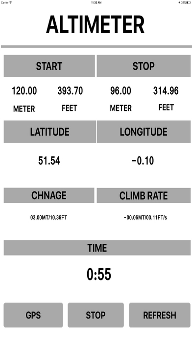
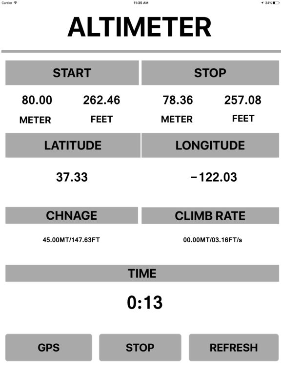
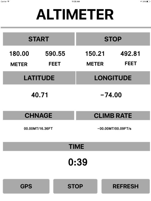
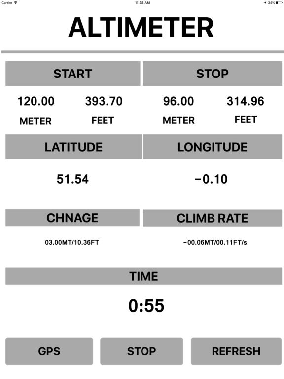
Altitude Map Elevation app will help you to determine the altitudes of your current position above sea level
It can be useful for climbers, mountaineers, airplane pilots, travelers and everyone who wants to know its current elevation
Amazing Tool app for hiking on mountains
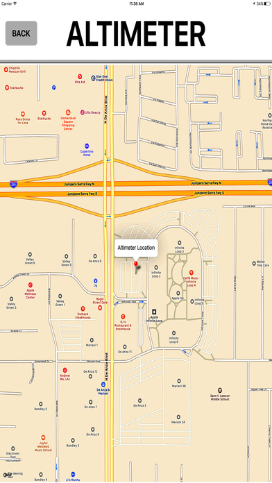
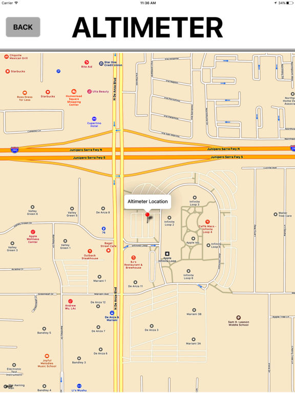
Accurate GPS determines you position
Very help app in outdoor activities for tourists
It measure height above sea level in altitude units of feet and meters
It also shows current, average and maximum speed, distance, time
share altitude/elevation details with everybody through instant messaging clients and email
User Friendly Design
Developer with latest technology
Fully Functional App
Universal app (supports all devices)
share with everybody through instant messaging clients and email
All the cool features & updates are available for free.
Ads free app
Disclaimer:
App is not for navigation
App needs a fast Internet connection 3g,4g or wifi
Accuracy is subject to device, location, and signal strength
Users must periodically recalibrate their altimeters when they reach a known altitude
iPhone Screenshots
(click to enlarge)


iPad Screenshots
(click to enlarge)

App Changes
- June 13, 2017 Initial release
- June 14, 2019 New version 1.1
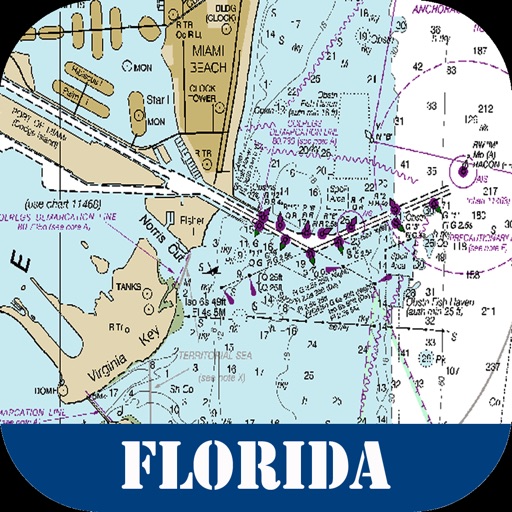
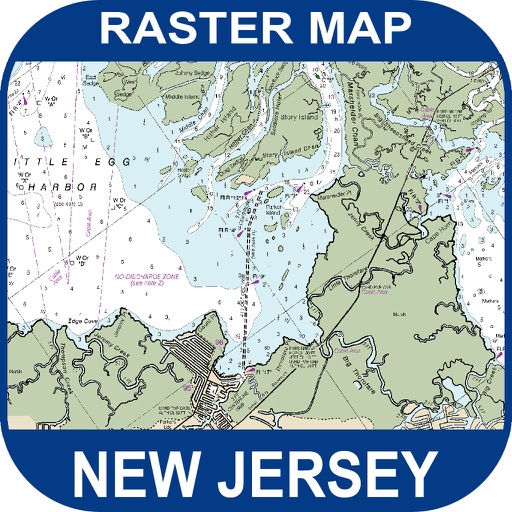
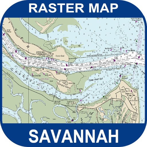
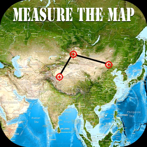
Other Apps From Mac George Roberts