
App Description
Best map for Boaters, Sailors, Fishermen, Divers!
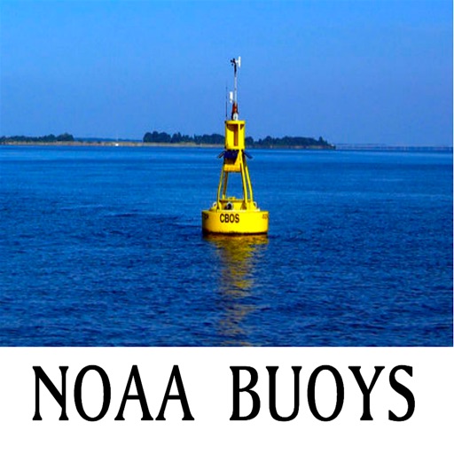
The NOAA Buoys Stations map is a unique app that allow you to retrieve weather data and real time ship positions data from NOAA's National Data Buoy Centre.
All Buoy Stations are displayed on the maps (Street, Hybrid, Satellite)
Search Nearest Stations and get all the NOAA information for Wind Speed, Wind Direction, Wind Gust, Air Temperature, Water Temperature, Dew Point and more parameters…
Please note that Internet connection is required to access data from NOAA NDBC.
iPhone Screenshots
(click to enlarge)


iPad Screenshots
(click to enlarge)


App Changes
- February 08, 2016 Initial release
Other Apps From Binary Wings Technologies