
What's New
New Topo overlay added.
Co-ordinates now in Degree Minutes
App Description
*** For people who are looking for appealing charts, features like seamless scrolling, comprehensive coverage with good chart view management, track recording and safety feature (MOB), Seawell marine navigation applications are the best choice. This application provides maps to make life easier and more enjoyable for sailors, fishermen, divers, boaters and cruisers.
*** Comprehensive coverage
Coverage of the chart is extensive and detailed: ******West Indies – Bahamas & Caribbean: It is referred as West Indies and our charts covers all the islands and such as Anegada (UK), Anguilla (UK), Antigua & Barbuda , Aruba (Neth), Bahamas, Barbados, Bonaire (Neth), Cancun (MX), Cayman Islands (UK), Cozumel (MX), Cuba, Curacao (Neth), Dominica, Dominican Republic, Grenada, Guadeloupe (France), Haiti, Isla Mujeres (MX), Isla de Providencia (Col), Jamaica, Jost Vaan Dyke (UK), Martinique (France), Montserrat (UK), Netherlands Antilles (Neth), Puerto Rico (US), Saba (Neth), St. Barts (France), St. Croix (US), St. Eustatius (Neth), St. John (US), St. Kitts & Nevis, St. Lucia, St. Martin/Sint Maarten (Neth) (France), St. Thomas (US), St. Vincent & Grenadines, San Andres (Col), Tortola (UK), Trinidad & Tobago, Turks & Caicos (UK), Virgin Islands (British), Virgin Islands (U.S.) Many more small islands & islets are explored in this map such as Moor Rock, Neck of island, Kid island,Rabbit island, Red Head Island, The Sisters, Little Island, Pelican Island etc. - Our chart covers Norfolk, Baltimore, Cape Charles, Cape May, Phildelphia, Ocean City and more
*** Seamless scrolling:
With Seawell chart application you can zoom in and out without having to look for and load different charts. You can still scroll/zoom even when the favorites list or track list view is open. You can also mark or add favorite spots, dynamically without going back and forth to the chart.
*** Chart view management
Lots of care has been taken to avoid clutter of icons, to utilize the full view of the chart to display only the map. With a single ON/OFF button, you can have full chart clear view. All the buttons on the chart are configurable to be turned off from the view in the settings
*** Track recording
√ Knowing where you’ve been helps significantly when visualizing where you’re going. Track recording is also a useful supplement to a log.
√ Intuitive interface to turn a track ON/ OFF, edit details & delete.
√ Intuitive track detail view helps you to start / stop / pause / continue your track recording.
√ GPS Tracking with north up / Course up!
Three modes of GPS tracking, Red denotes user location centered and north up, yellow denotes user location is tracked but not centered with north up and blue denotes user location centered and map is rotated in course UP direction.
*** Favorites:
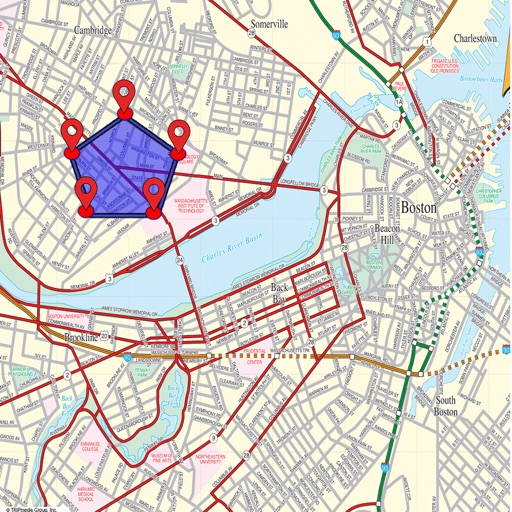
√ You can simply use your finger to tap positions on the chart where you want favorites.
√ Favorites list is also easy to use.
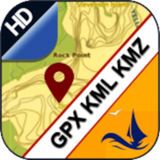
√ A picture is one thing, which tells more about your favorite places and you can share the same with your friends and families with different formats such as KML, KMZ and GPX
*** Distance measure
Measuring distances, not just from the boat, is clearly a key part of any navigation system. Check how easy to use this.
*** MOB function (Man Overboard)
Will show you the way back to MOB and position can be used by the emergency services.
*** Other Features:
√ Online and Offline Search
√ Speed of boat
√ Add Images in favorites
√ Seawell has multiple overlays: Offline, Hybrid,Topo and Street mode.
√ Offline: Only offline maps will be displayed which are useful in situations where there is no Internet connectivity. .
√ Hybrid: Land areas are covered by satellite imagery.
√ Street: Land areas are covered by open street maps.
√ Topo : Land areas are covered by topographic maps
***NOTE: "Continued use of GPS running in the background can decrease battery life”
“Turn off GPS when not in use”
iPhone Screenshots
(click to enlarge)


iPad Screenshots
(click to enlarge)


App Changes
- October 04, 2015 Initial release
- November 17, 2015 Price increase: $5.99 -> $8.99
- November 28, 2015 Price increase: $8.99 -> $10.99
- December 01, 2015 Price decrease: $10.99 -> $9.99
- December 05, 2015 New version 1.1
- December 08, 2015 Price decrease: $9.99 -> $8.99
- December 28, 2015 Price decrease: $8.99 -> $7.99
- January 13, 2016 New version 1.2
- February 19, 2016 New version 1.4
- June 21, 2016 New version 2.3
- August 18, 2016 New version 2.4
- June 13, 2019 New version 3.1
- June 13, 2019 Price decrease: $7.99 -> $5.99
- June 13, 2019 Price decrease: $7.99 -> $5.99
- June 14, 2019 Price decrease: $7.99 -> $5.99
- June 14, 2019 Price decrease: $7.99 -> $5.99
- June 15, 2019 Price decrease: $7.99 -> $5.99
- June 15, 2019 Price decrease: $7.99 -> $5.99
- June 16, 2019 Price decrease: $7.99 -> $5.99
Other Apps From Seawell Software Private Limited