
What's New
Bug fixed and support provided to new devices.
Compatible to iOS 13.
App Description
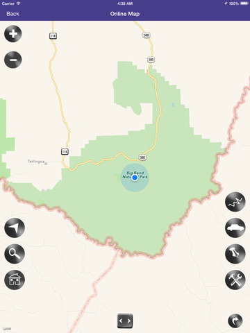
Park map is a nice and helpful tool for hiking, camping, picnic and all outdoor recreational activities for National Park visits.
Easy to use map interface and will prove helpful for travel. The key features of the map are as follows:
• Use Map Without Network.
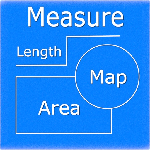
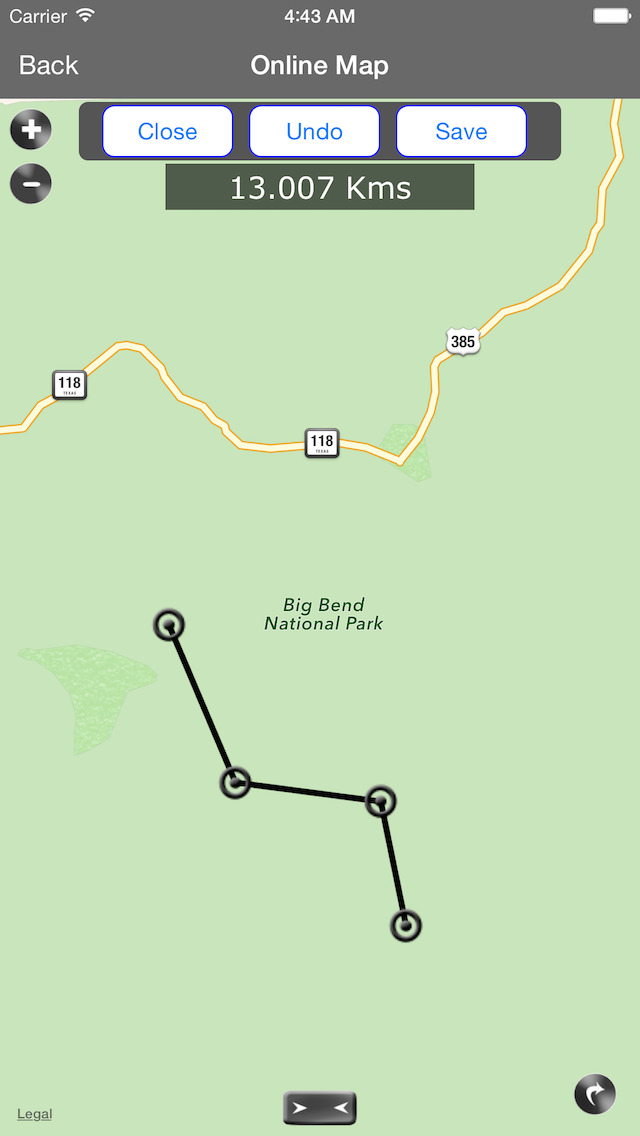
• Draw, Save And Export Route Tracks to Kml.
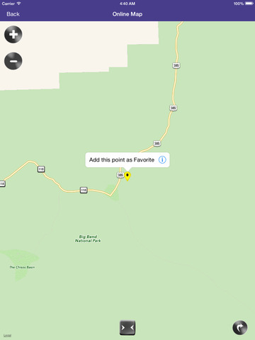
• Create Unlimited Favourite Markers, Supports Save and Forward options.
• Map Point Address Finder.
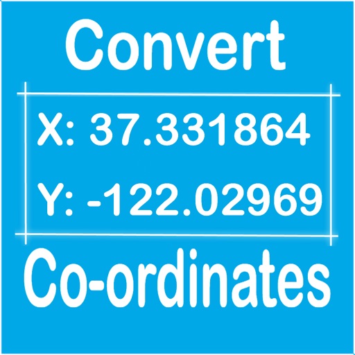
• Navigation Compass and Coordinate information.
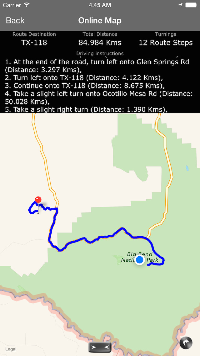
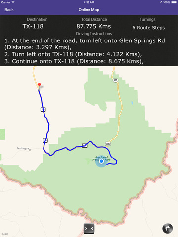
• Find Map Directions From Between any two Points (needs network).
• Poi Search (needs network).
• Settings To Manage Map features.
Enjoy the above features in single map view with easy to use and interactive interface.
Great ways to explore the best of hotels, restaurants, attractions, clubs, parking areas, campgrounds, café’s, banks, hospitals, museums, parks & monuments, airports and explore many featured regions of interest with our maps.
World Clock additional feature helps instantly check current date and time and time difference between user and many destinations.
Search and see wonderful sights of the park and explore hundreds of Great places, be inspired and don’t miss anything, your family and children will love enjoying the voyage.
iPhone Screenshots
(click to enlarge)


iPad Screenshots
(click to enlarge)


App Changes
- August 19, 2015 Initial release
- July 19, 2016 New version 2.0
- June 14, 2019 New version 5.0
- July 15, 2020 New version 6.0
Other Apps From Shine George