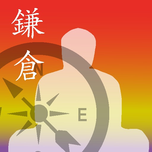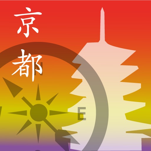

App Description
this application — an application — a GPS function and an electronic compass function with a terminal built-in [ based on the position data of the main tourist resorts in the Okinawa island recorded on data, a station, etc. ] show the distance and the direction of [ from a its present location to the destination ].
Probably, it will be very convenient to look for a nearby tourist resort and station, since the distance to each registration point can also be displayed in a list display.
Since each point registered in the map display is displayed by the pin on a map, each spatial relationship is displayed intelligibly.
If the circumference is overlooked through a camera screen, the air tag explaining the registered point will be overlapped by the actual camera display screen, and will be displayed on it.
It should become easy for a person poor at reading a map to also look for the target place.
The sightseeing of Okinawa may be done efficient by using this application, and new pleasure may be able to be found.
A next institution and place are covered in this application.
15 activities
5 airports
14 Highway interchange and service area
19 hotels
8 market, shopping mall
15 monorail stations
7 museum
7 roadside stations
52 tourist resorts
Since the easy explanatory note is carried besides the position information on an every place point and an institution, it gets used to usage also as a substitute of an easy guidebook.
It could use also on the travel in a car conveniently, since the information on monorail each station and the information on a rest area are also contained.
an iPhone standard map — it can cooperate with an application and the course search from a their present location to the destination and a simple navigation function can be used.
- Function -
1. The direction and distance to the destination are displayed in a compass view.
2. The point registered can be checked on a map display screen.
3. Display the name of an every place point with an air tag on a camera view in AR view.
This application is using the GPS function and the electronic compass function.
- Notes -
This application is using GPS, in order to acquire position information.
Moreover, electronic compass is used in order to obtain a direction.
Since each measurement accuracy is dependent on the surrounding environment, please understand that some gap arises in real use.
In use indoors, please keep in mind that the direction and distance to the destination which are displayed may not be exact.
iPhone Screenshots
(click to enlarge)


App Changes
- June 09, 2014 Initial release
Other Apps From Yasuji Murakami