
What's New
- Filters were added to Maps
- Information were added
- Markers were added to Routes
App Description
Tourism Rhodes application has been implemented at the initiative of the Municipality of Rhodes and the Medieval City Administration for the purpose of providing the public with an electronic tourist guide of the island.
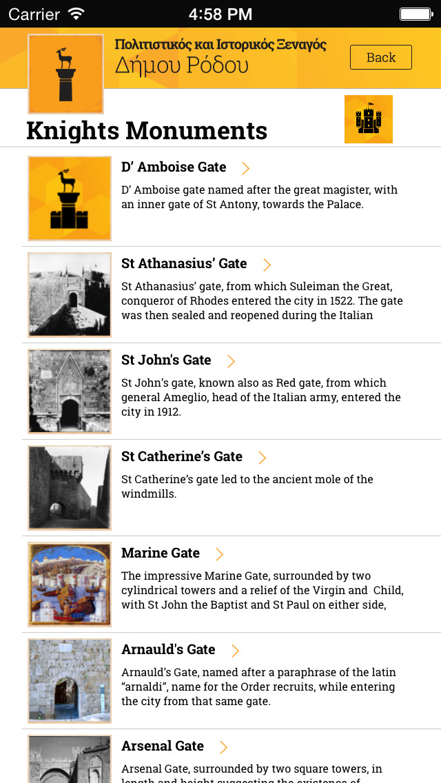
It includes monuments (ancient, Byzantine, chivalric, ottoman, modern), museums, religious sites
(Churches, mosques, congregation), points of interest, and information concerning the island's history and environment.
The application even informs the user of upcoming events and suggests routes that can be followed,
these routes are projected onto a map along with the corresponding routing instructions.
For each of the above points a brief description is provided , multimedia (photos, videos, 360 photo),
viewing points on "offline" map where the article can be geo-referenced, and providing advice to the
user, routing him to the desired point of interest. Finally Tourism Rhodes enables the user to share these POIs to the most well-known social media.
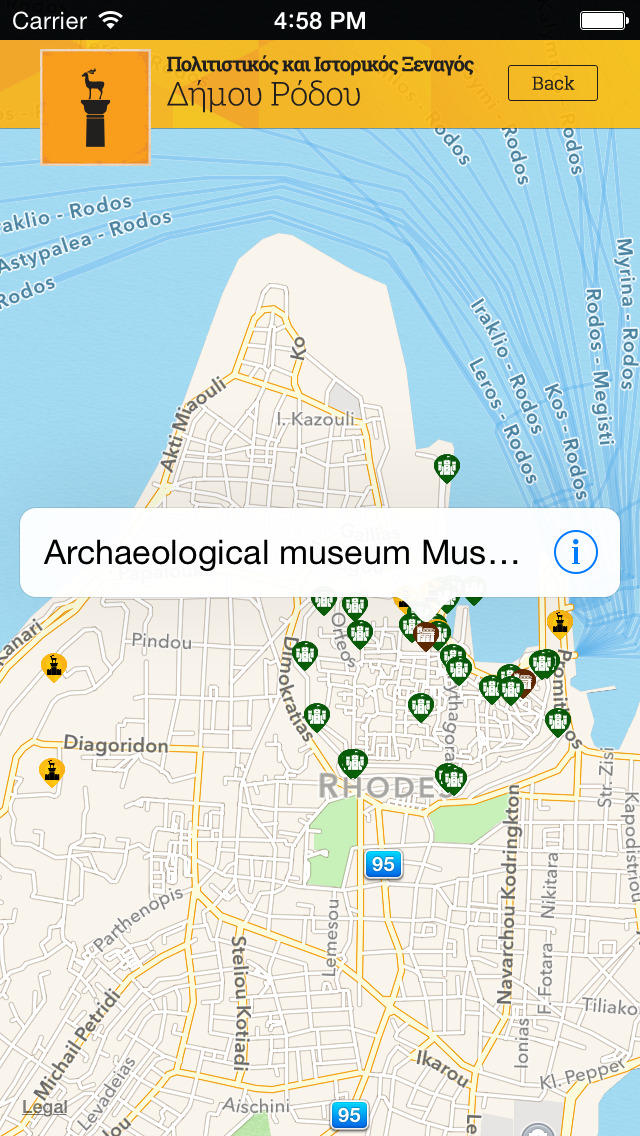
Viewing points of interest on online map.
Show only points of interest that are located within a distance of up to 25 km from the user.
Enable users view points of interest via augmented reality.
Content update feature to display new signs and information.
ΑΝΑΔΟΧΟΣ ΕΡΓΟΥ: DOTSOFT Α.Ε.
ΥΠΕΡΓΟΛΑΒΟΣ ΑΝΑΠΤΥΞΗΣ ΕΦΑΡΜΟΓΗΣ: COMITECH Α.Ε.
iPhone Screenshots
(click to enlarge)


iPad Screenshots
(click to enlarge)


App Changes
- June 12, 2015 Initial release
- August 11, 2015 New version 1.1
Other Apps From Comitech S.A.