
What's New
Enhanced quality of high resolution maps.
Bug fixes.
App Description
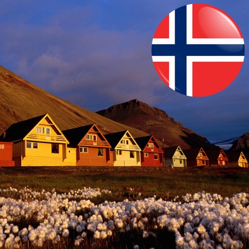
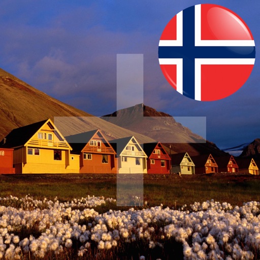
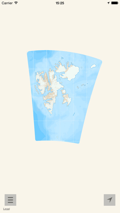
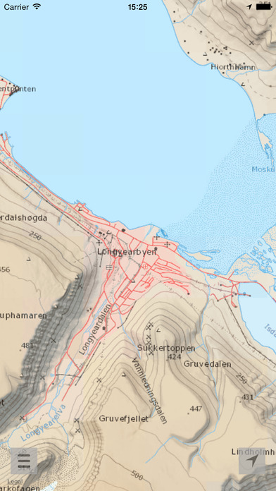
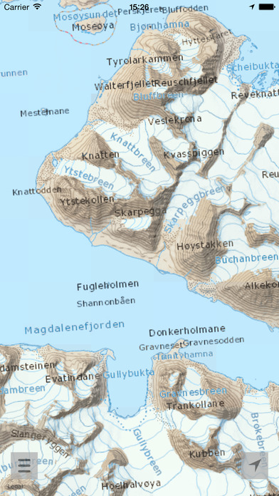
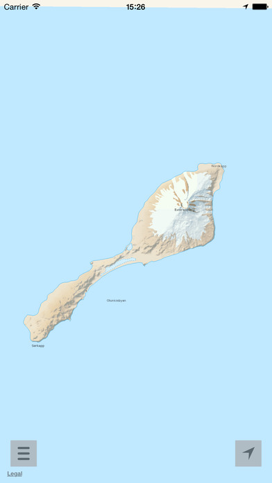
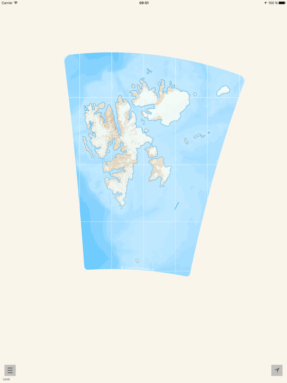
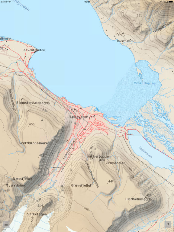
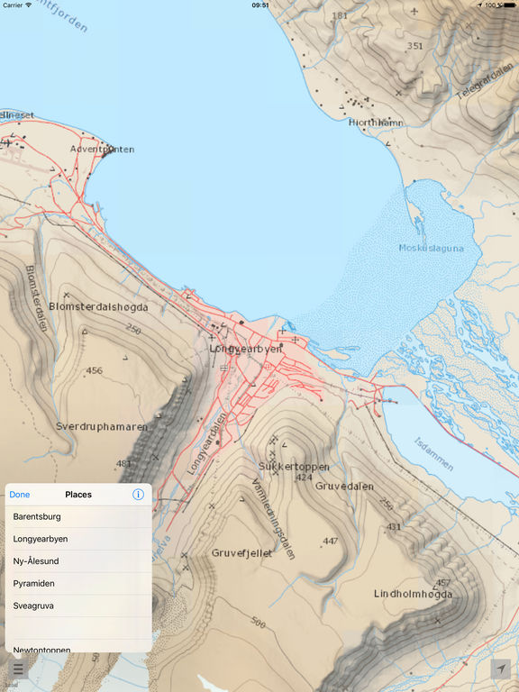
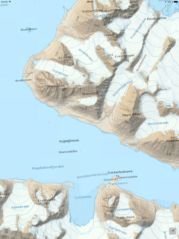
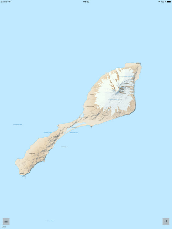
Travel with the complete map of Svalbard, Bear Island and Jan Mayen. Amazing high resolution maps down to a scale of 1:70 000. (Requires 1 GB of space).
On a tour but location challenged? Take the map of the whole Svalbard, Bear Island and Jan Mayen with you! Look on the map of the surroundings or plan your next trip.
High-resolution maps don’t require internet.
- Perfect for planning your next trip.
- Easy to navigate to the major sites, mountain ranges and attractions.
- Works everywhere: By the sea, in the mountains, in the city. Without the internet, without coverage.
We make Svalbard awesome!
"Here & there" relies on the compass and GPS of your device. Best results are achieved if you are outside.
High resolution maps from the © Norwegian Polar Institute (http://geodata.npolar.no) are licensed under the Creative Commons Attribution 4.0 international (CC BY 4.0) (https://creativecommons.org/licenses/by/4.0/)
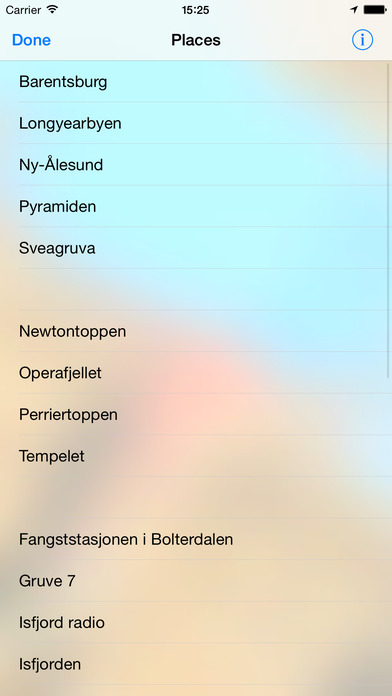
iPhone Screenshots
(click to enlarge)
iPad Screenshots
(click to enlarge)
App Changes
- July 14, 2017 Initial release
- December 17, 2019 New version 1.1
- July 15, 2020 New version 1.2
Other Apps From AppsFab AS