
What's New
- Resolved a problem in the coordinates selection page.
App Description
An app to satisfy all your Fishing and Boating's needs, developed with the help of professional fishermen.
You will be able to download the best nautical charts and enjoy your new fishing season. Press the RECORD button, put the phone in your pocket and record your fishing trolling track....and much more.
►► Features:
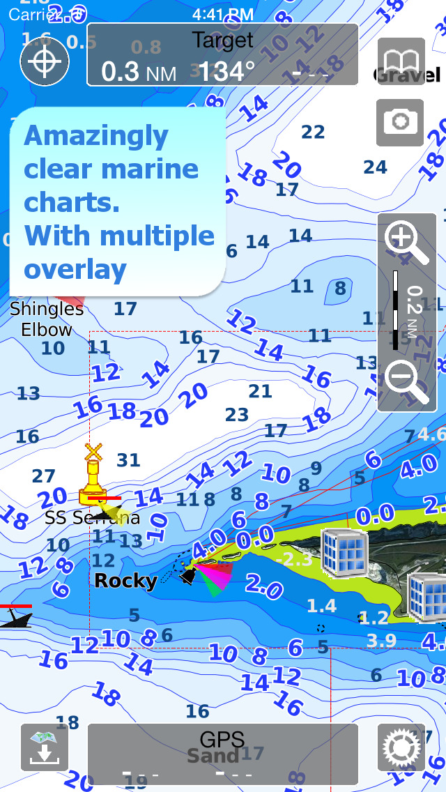
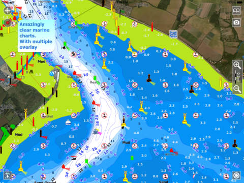
• Amazingly clear maps, thanks to the Retina technology usage.
• User friendly iOS interface.
• Optimized battery usage with battery consumption monitoring; up to 14 hours continuous track.
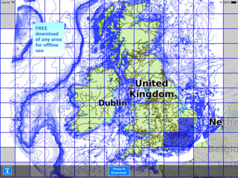
• You can download maps (for FREE, no additional purchase is required) on the device, to be used later without any internet connection.
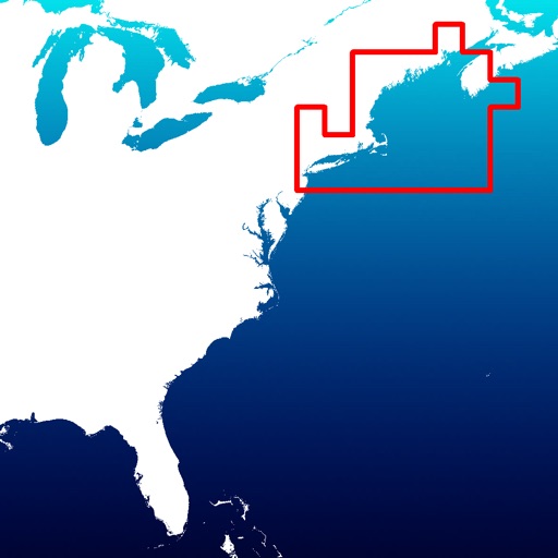
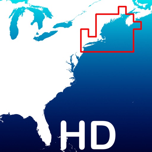
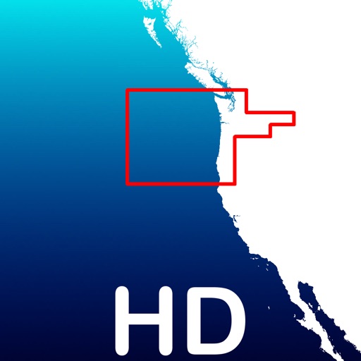
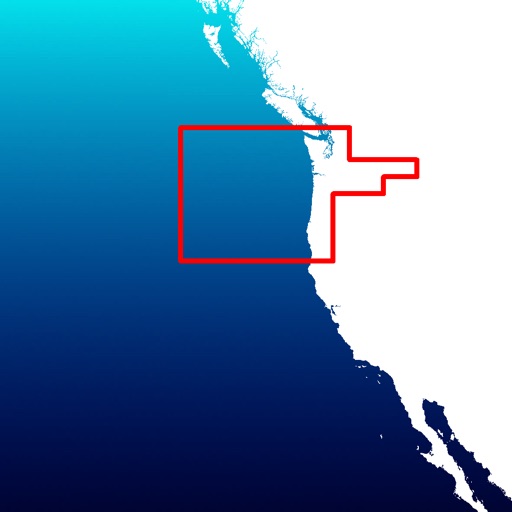
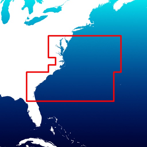
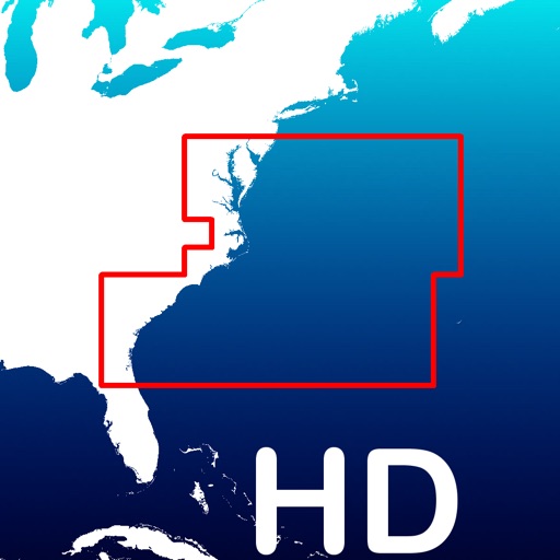
• Full coverage of UK and Ireland charts derived from UKHO official data
• Store your track without the need of cellular data or phone signal.
• No problem to receive/make phone calls and messages while recording the tracks.
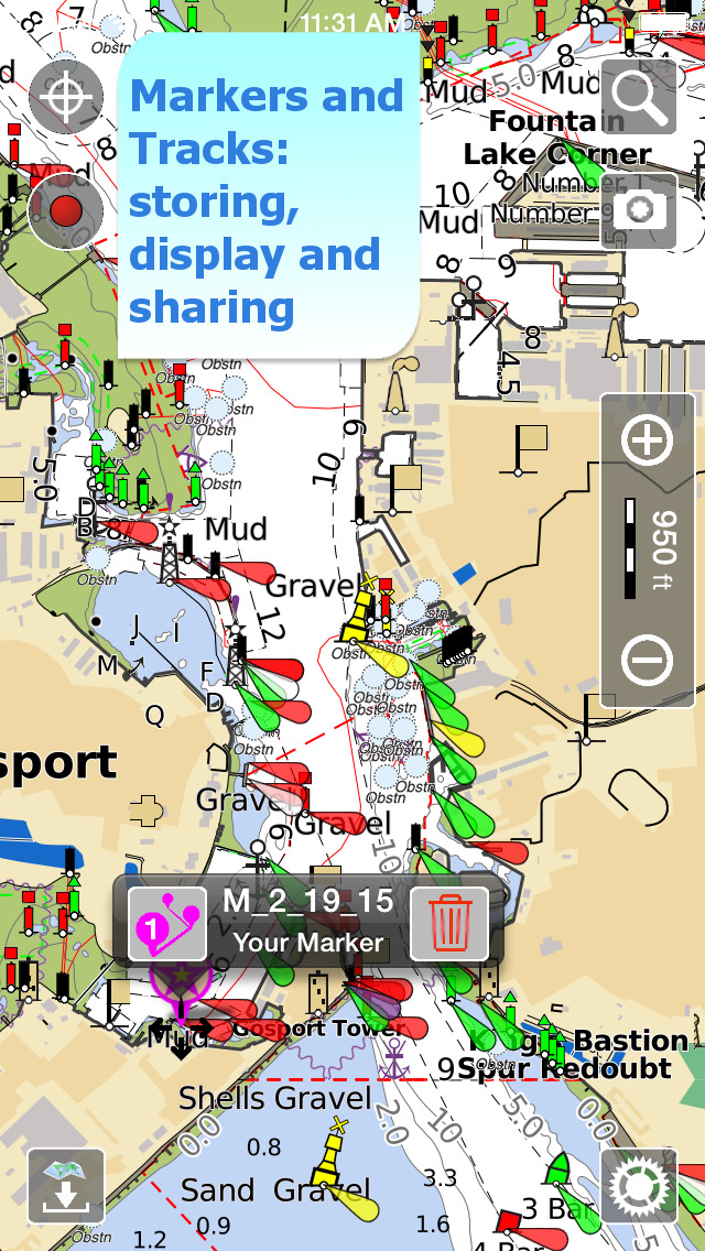
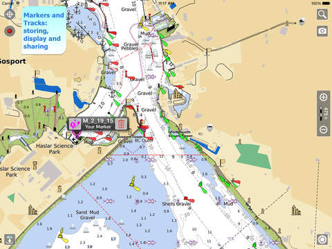
• Share tracks, markers and pictures in various formats (KMZ and GPX).
• Store an unlimited number of tracks and markers.
• Customize your Marker's icon and Track's color.
• Switch between Map display modes (Offline, Satellite, Roads).
• Measure distances on the map.
• Load any track and marker from internet communities (KMZ, KML, GPX also if zipped)
• Query map objects with your finger tip
• Search map objects around you, around a point, search places by name worldwide
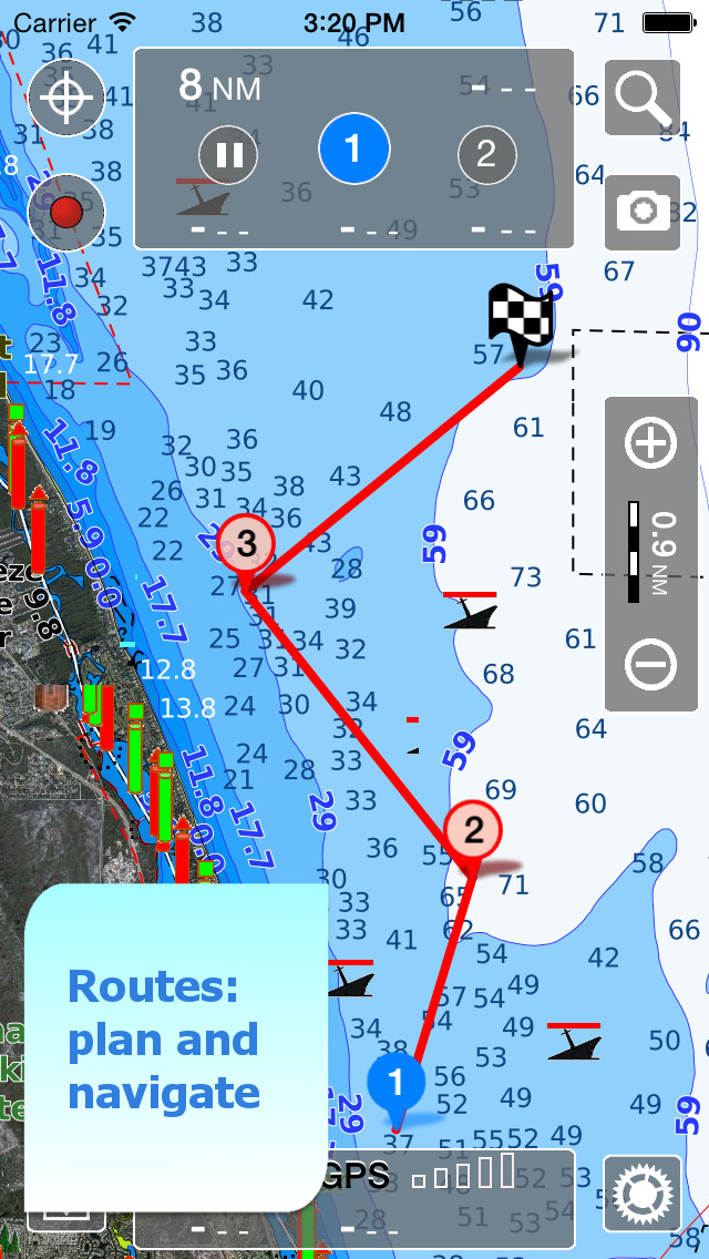
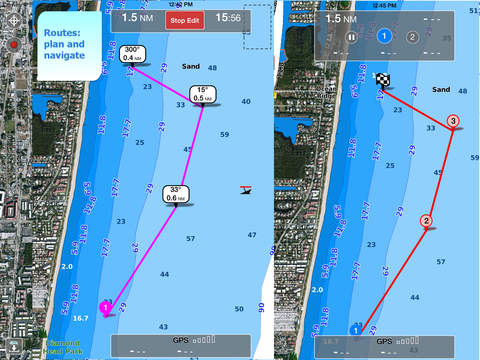
• Plan and navigate your ROUTE
• ActiveCaptain community integration
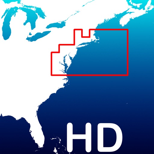
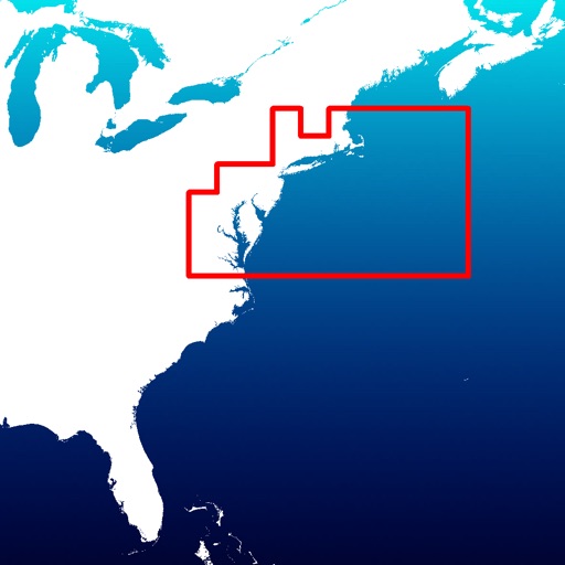
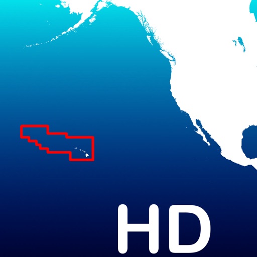
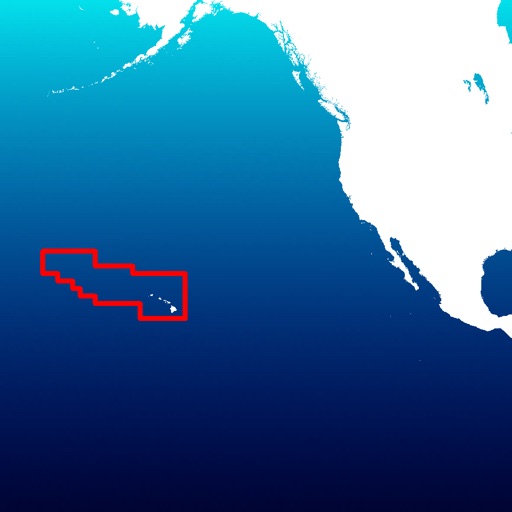
► MAPS
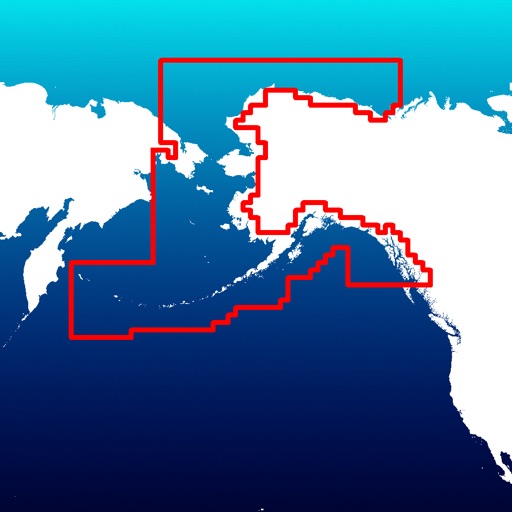
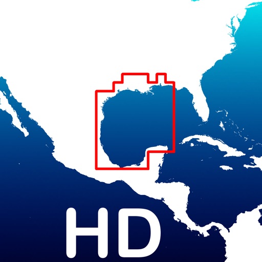
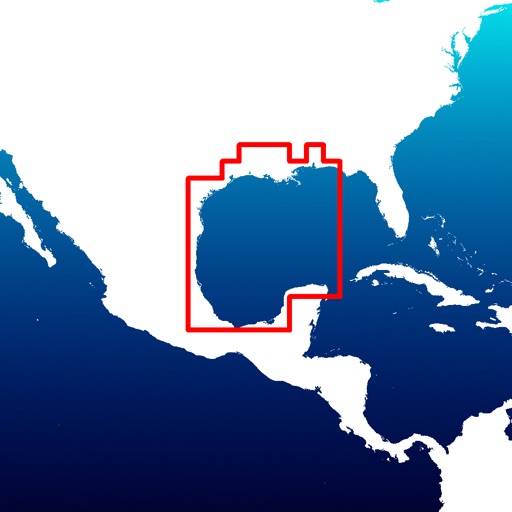
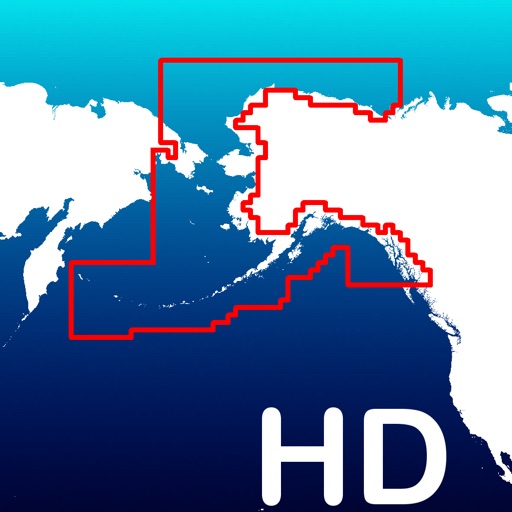
Aqua Map lets you download - for FREE!! - the best UK & Ireland Nautical charts with depth contours, buoys, lights, etc. and all it is necessary to enjoy your best fishing experience. No additional purchase is required. With an amazingly clear display at all zoom levels, you can download the maps at home within your device and then use them on the boat without any Internet connection need. See more info on our Nautical charts at: http://www.globalaquamaps.com/AquaMarine.html#UK
► SHARING
Why do not sharing your favorite's markers on Facebook or sending an email with your last daily track, with all the pictures you captured (Note 2) to show them on Earth or Maps ? You can also load any KML, KMZ, GPX (also zipped) you can find over the internet or received from your friends
► LOADING OTHER's TRACKS AND MARKERS
Aqua Map can load any KML, KMZ, GPX (also zipped) you can find over the internet or received from your friends. You can load tracks and markers generated from any application (e.g. Google EarthTM, Maps, or other iPhone/iPad apps), obviously including Aqua Map, or any device (e.g. Garmin Etrex, Nuvi, Magellan, etc.).
► SEARCH OBJECTS AND LOCATIONS
By name, worldwide and around you
► ROUTES and WAYPOINTS
Plan your trip, insert and edit waypoints. Navigate your route and monitor distance, time and direction toward your next waypoint.
► ENJOY ActiveCaptain Community
Join the community of more than 100.000 boaters who write reviews, update data and provide up to date hazard information on ActiveCaptain
View and contribute to the best marinas location database in the world
Read and contribute reviews and rating about marinas, local boating knowledge, anchorage and hazards
► OPTIMIZED BATTERY USAGE
Unlike many other apps, Aqua Map is designed to use at the best the battery power to ensure being usable for at least one full day (Note 1). Its Battery Consumption Monitoring will stop the track recording when the battery is too low, to ensure the phone is still usable at the end of your day.
► iOS BACKGROUND MODE
Aqua Map works also when in background, you can receive/make calls and messages while the track recording is running.
————
Like any GPS, the signal quality can vary very much depending by the amount of visible sky, foliage, weather condition, etc. GPS is not reliable indoor.
The continuous GPS usage, also in background, can drastically reduce the battery life.
For more information please visit our website at:
www.globalaquamaps.com or send us an email at: [email protected]
iPhone Screenshots
(click to enlarge)


iPad Screenshots
(click to enlarge)

App Changes
- October 11, 2013 Initial release
- October 20, 2013 New version 1.3
- October 21, 2013 Price decrease: $14.99 -> $12.99
- November 11, 2013 New version 2.0
- November 27, 2013 New version 2.1
- November 27, 2013 Price increase: $12.99 -> $13.99
- December 17, 2013 New version 2.2
- December 18, 2013 Price increase: $13.99 -> $23.99
- February 01, 2014 New version 2.3
- February 20, 2014 New version 2.4
- March 09, 2014 New version 2.5
- April 10, 2014 New version 2.7
- May 15, 2014 Price increase: $23.99 -> $27.99
- May 23, 2014 New version 3.0
- July 15, 2014 New version 3.1
- August 11, 2014 New version 3.2
- August 27, 2014 New version 3.3
- September 26, 2014 New version 3.4
- November 08, 2014 New version 3.5
- February 16, 2015 Price decrease: $27.99 -> $26.99
- March 17, 2015 New version 4.2.5
- April 16, 2015 New version 4.3
- May 06, 2015 New version 4.4
- May 16, 2015 New version 4.4.1
- July 01, 2015 New version 5.0
- August 22, 2015 New version 5.1
- October 10, 2015 New version 5.2
- October 22, 2015 New version 5.3
- December 10, 2015 New version 5.4
- February 02, 2016 New version 5.5
- July 07, 2016 New version 6.0.7
- November 08, 2016 New version 6.1
- December 16, 2016 New version 6.2
- December 18, 2016 New version 6.2.1
Other Apps From GEC s.r.l.