What's New
Software update
Flat user interface
Improved performance
App Description
"Best map of Easter Island. Fabulous cartography and data."
Works OFFLINE! - No phone or internet required
5 Base Maps:
OFFLINE Map and imagery, 1 premium imagery map provider and 2 different street maps.
11 Geographic Overlays OFFLINE:
Highways, major roads, trails, hotels, camps, views, volcanoes, fishing, airports, hospitals and ahus.
Social Media:
Videos, Photos, Facebook and Twitter.
Services:
GPS and weather
Languages:
English, Spanish and Portuguese
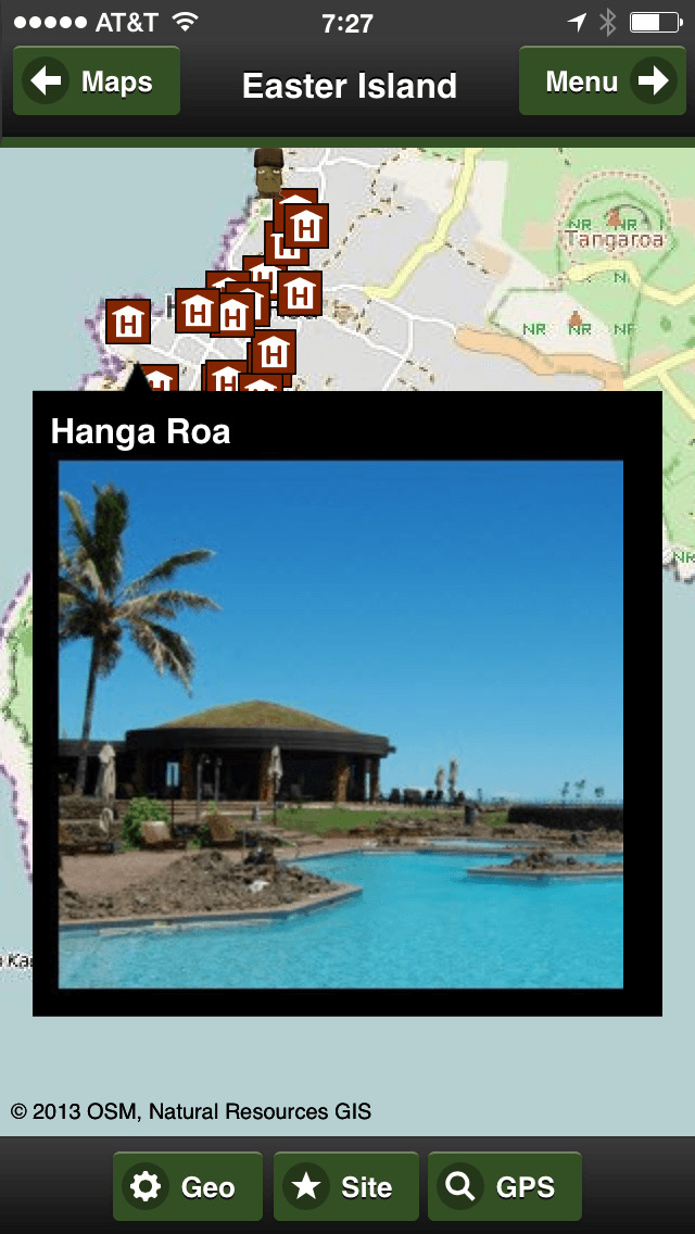
iPhone Screenshots
(click to enlarge)


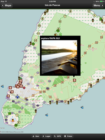
iPad Screenshots
(click to enlarge)


App Changes
- September 18, 2012 Initial release
- November 18, 2013 New version 4.0.0
- November 18, 2013 Price increase: $1.99 -> $4.99
- November 03, 2014 New version 4.2.0
- January 30, 2015 New version 4.5.0
- August 18, 2015 Price decrease: $4.99 -> $0.99
- September 16, 2015 New version 5.1.0
- June 21, 2016 Price increase: $0.99 -> $1.99
- June 29, 2016 New version 6.0.0
Other Apps From John Buttery