
App Description
Get complete information about Wreck & Obstructions covering the US region. For safe navigation knowing ship wrecks and other obstructions location is very important.
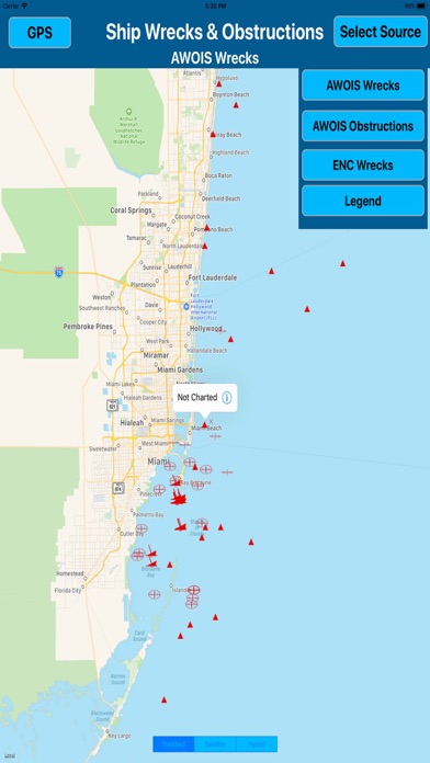
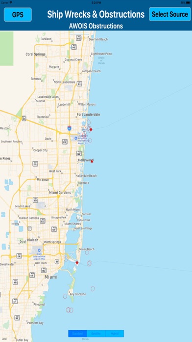
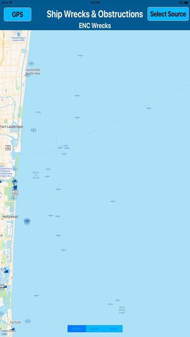
The Office of Coast Survey’s Public Wrecks and Obstructions database contains information on the identified submerged wrecks and obstructions within the maritime boundaries of the United States.
App displays the following
Obstruction Name
at what depth the Obstruction is located
year when vessel was sunk
Obstruction detailed history
Get GPS location of wreck/obstruction
option to search obstruction by name
Distance to the known or specific wreck
Tap on the wreck to get complete information
Get your position accurately on the map.
All data of ship wrecks and obstructions is derived from NOAA.
App is very useful for mariners, sailors, divers, & other water sport activities.
NOTE:
While using GPS it is important first to calibrate your location, so that search results are accurate and to the point.
"Continued use of GPS running in the background can dramatically decrease battery life.
iPhone Screenshots
(click to enlarge)

iPad Screenshots
(click to enlarge)


App Changes
- December 19, 2017 Initial release
Other Apps From Egate IT Solutions Pvt Ltd