
App Description
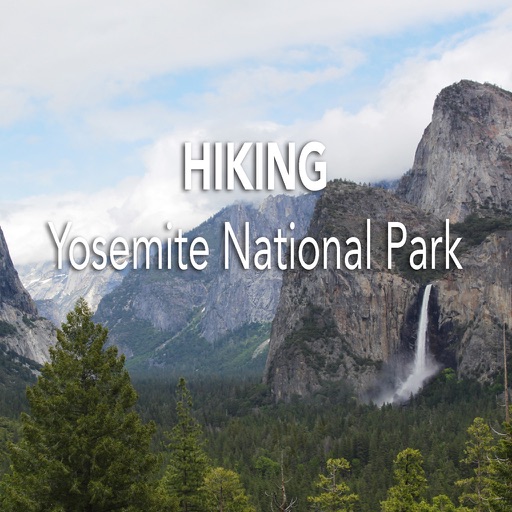
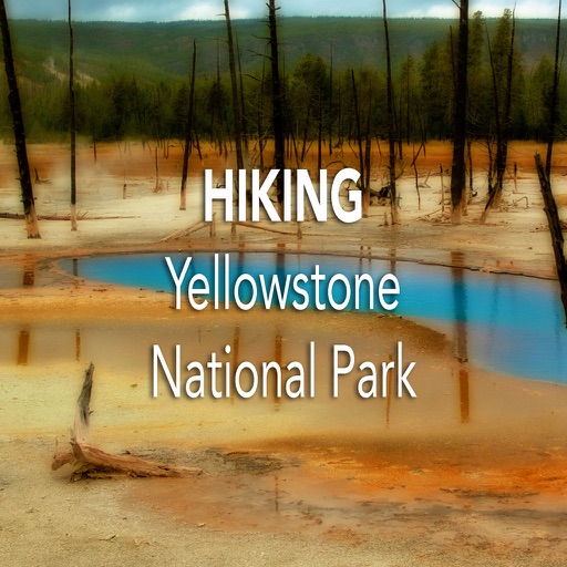
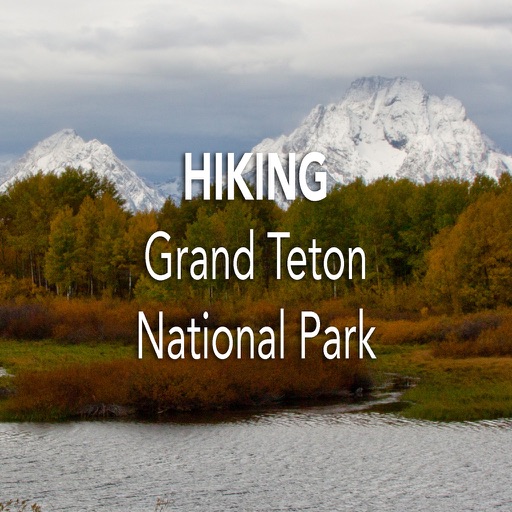
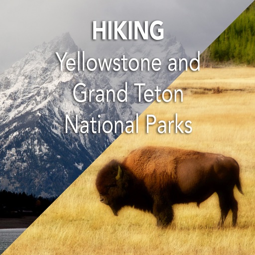
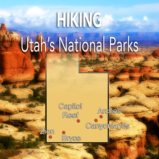
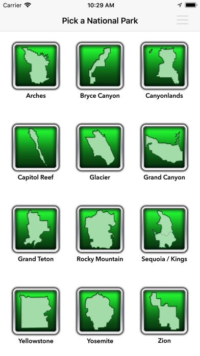
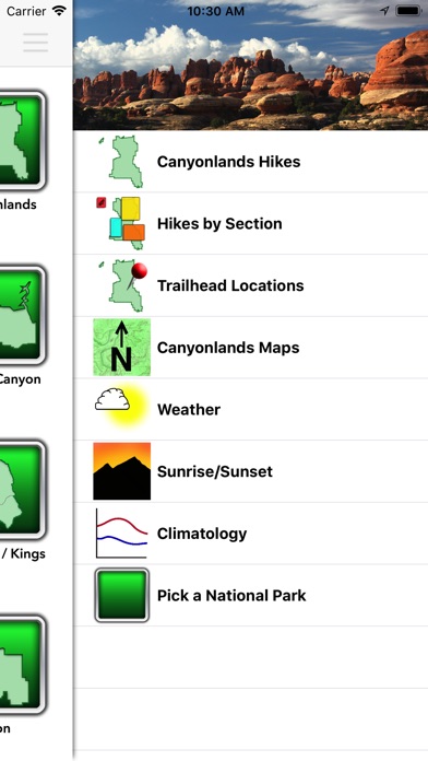
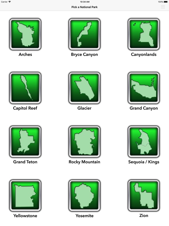
The Western United States has some incredible national parks. This app includes hiking information for 12 of them - Arches, Bryce Canyon, Canyonlands, Capitol Reef, Glacier, Grand Canyon, Grand Teton, Rocky Mountain, Sequoia / Kings Canyon, Yellowstone, Yosemite, and Zion. There is information on over 450 hikes included.
These parks provide visitors the chance to experience unique deserts, high mountain glaciers, canyons, giant trees, mountains, animals, and so much more. The landscapes are breathtaking.
If you are planning on hiking in one or more of these national parks, this app is for you.
The hiking maps are bundled in the application, so there is no downloading of files when you are ready to hike.
Features for each hike:
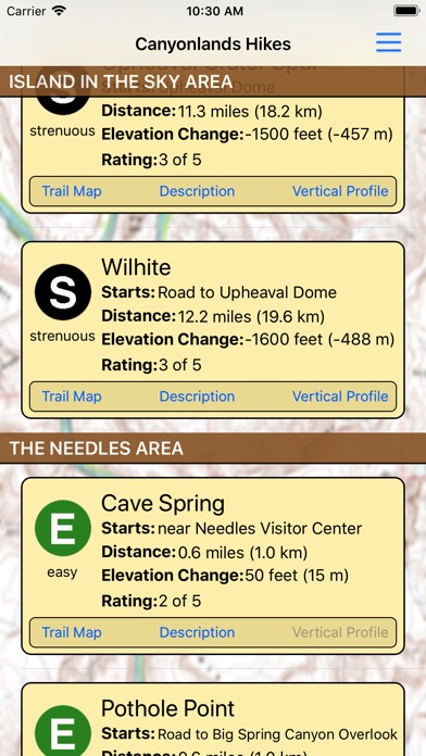
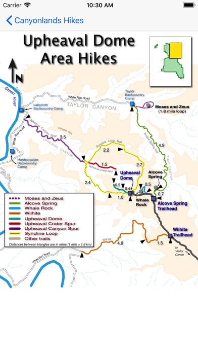
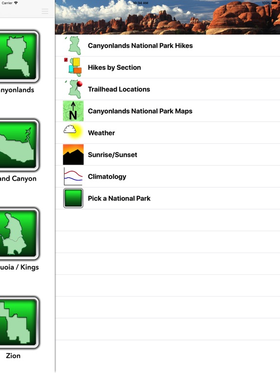
- Trailhead Information
- Hiking Distance
- Elevation Change
- Trail Difficulty
- Trail Rating
- Trail Description
- Trail Map
- Vertical Profiles for strenuous hikes
The app also includes weather and climate information, so you can plan your adventure for the right time of year.
Internet access is needed for the latest weather forecasts, weather radar, and for the “Trailhead Locations” base map.
Even if you aren’t heading to a park in the next few days, using this app allows you to dream of the day when you get a chance to see the incredible beauty these parks offer.
iPhone Screenshots
(click to enlarge)

iPad Screenshots
(click to enlarge)


App Changes
- October 27, 2017 Initial release
Other Apps From TUA Outdoors, LLC