
What's New
• Bug fixing and optimizations
App Description
Navionics Hike & Bike app lets you record your outdoor activities. View your tracks on the map, review results, measure performance, share with friends!
Beginners to experts will love the easy-to-use intuitive interface, specially designed by Navionics, a leading provider of location based products known throughout the world.
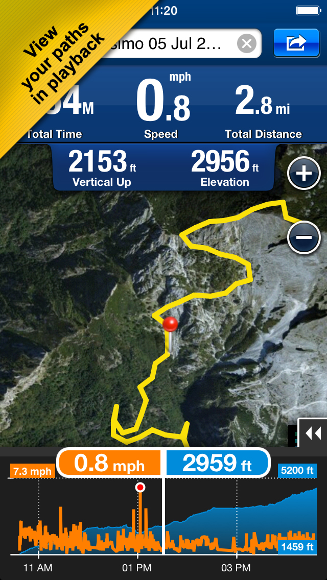
Never lose focus on your activity with a full display of metrics in an easy to read console. Real-time stats will display your speed, distance, time, elevation and vertical so you can adjust your movement anytime. View your location on the map with either satellite or terrain overlay. Once your track is saved, view paths in playback mode with the fun interactive interface. Keep track of your performance over time as you save your trips to compare current to your bests and challenge yourself to improve. Plus, easily share your data with friends and family via Facebook, Twitter or Email.
Navionics Hike & Bike contains all these great features:
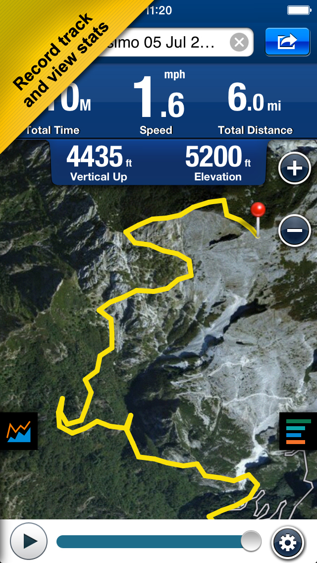
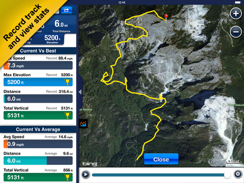
Tracks: Recording your tracks is so simple! Tap Start to begin recording important metrics like speed, distance, time, elevation, and vertical for your trip. The fully customizable display gives you the option to choose which stats you prefer to see while moving. The map will reveal your current location and how far you’ve travelled along your route. Snap photos at any time along your journey or even record videos! They will be georeferenced to your track and saved to the archive. No data or phone signal needed to record your tracks.
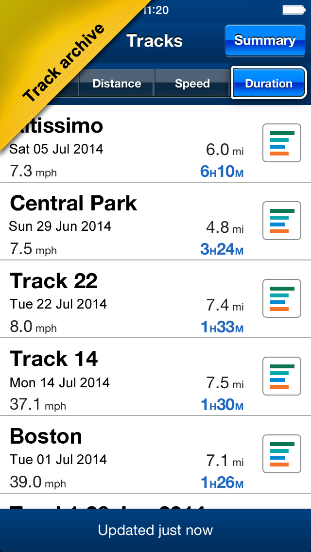
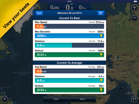
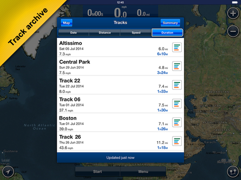
Statistics: View statistics which include speed, distance, time, elevation and vertical. Check your individual track stats against your personal bests where you can try to beat your previous records. Easily sort tracks by date, distance, speed or duration. Get track details and share to Facebook, Twitter or email friends and family.
Playback: After saving your tracks, enjoy the dynamic interactive playback where your path is replayed with optional Satellite or Terrain overlay. Expand the graph to reveal the points of when and where you achieved your maximum speed and elevation.
Map Options: Choose between Satellite or Terrain Overlay
Photos & Videos: Geotagged photos and videos appear on the map.
Sharing: Email, Tweet or FB your tracks, photos & videos. Your friends can learn about your adventures by viewing the .kmz files you send them!
Learn more about Navionics Mobile: www.navionics.com and join us on Facebook or Twitter
Don’t forget to check out our Navionics Boating and Ski Apps!
Continued use of GPS running in the background can dramatically decrease battery life.
iPhone Screenshots
(click to enlarge)


iPad Screenshots
(click to enlarge)


App Changes
- August 13, 2014 Initial release
- October 08, 2014 New version 2.0.1
- December 01, 2014 New version 2.0.2
Other Apps From Navionics S.p.A.