

What's New
Small Bugfixes
- Widget tap handling
- GPS detection improved
App Description
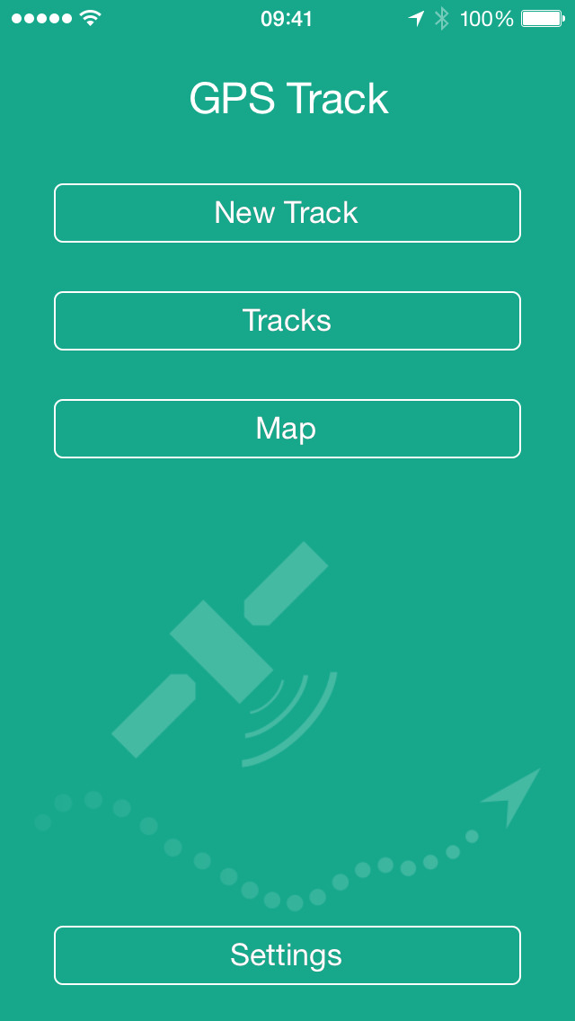
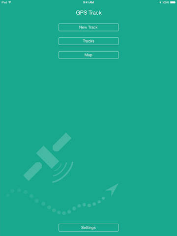
GPS Track - Hike & Bike is an iOS application for recording the GPS coordinates of your tracks.
◆ Tracking
GPS Track records the GPS coordinates of your tracks, as well as altitude (barometric) and speed.
◆ GPX Export
GPS Track exports your tracks as GPX files which you can use in several applications to view your tracks, tag your photos and more.
◆ GPX Import
You already have a collection of GPX files and you want them all in one place? GPS Track can import them.
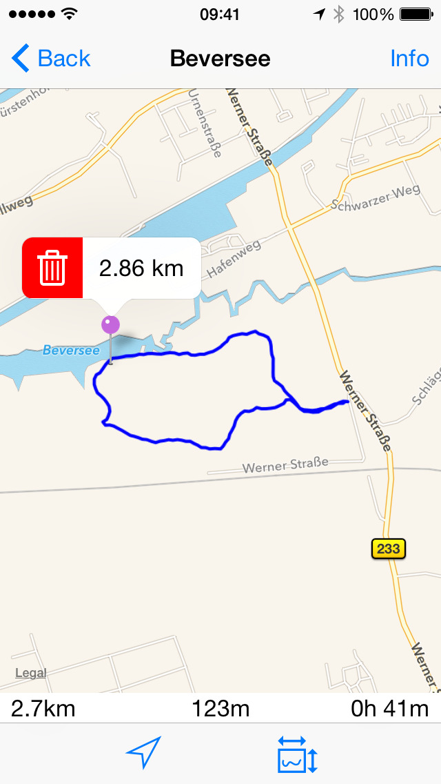
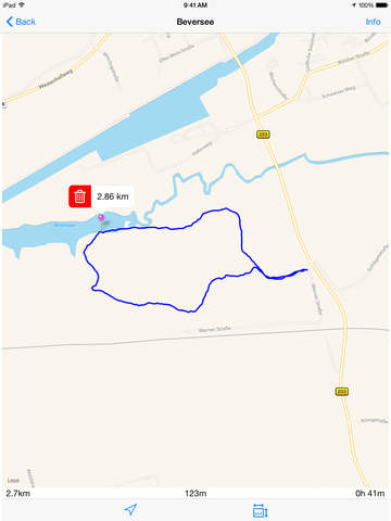
◆ Map View
Your current track is drawn on the map.
You can place needles by long pressing on the map to mark points you are interested in. Tapping on such a needle displays the current distance to it.
Choose between various map types:
Apple Maps (standard, satellite, hybrid)
OpenStreetMap
OpenCycleMap
Landscape
Outdoors
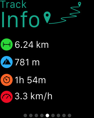
◆ Info
The info screen shows the current track data:
Distance from start
Current altitude, min and max altitude
Speed: Max and average
The altitude profile chart
One or two finger touch on the altidute diagram gives detailled informations
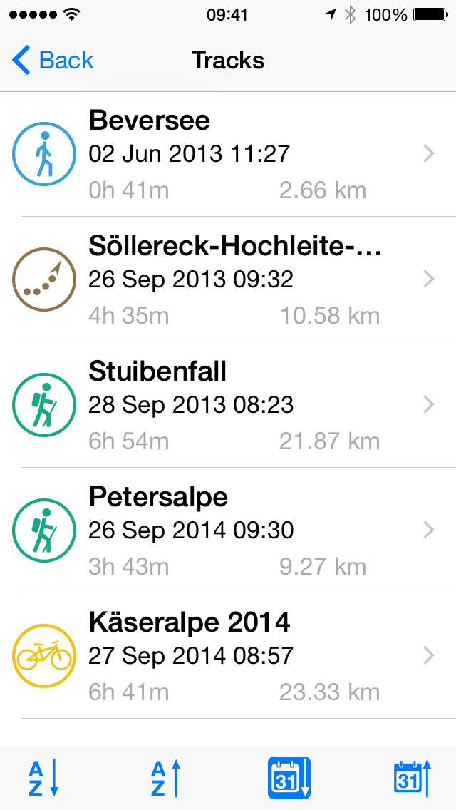
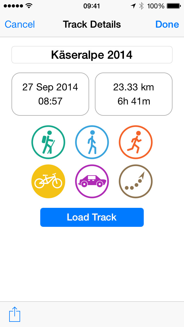
◆ Track Properties
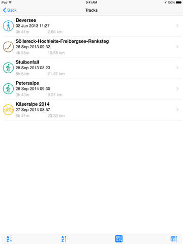
Name your tracks and give them an activity icon.
Your tracks are listed in a nice way. The list can be sorted alphabetically or by date.
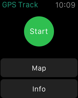
◆ Apple Watch Support
Start/stop tracking, show your current location and track infos.
◆ Today Widget / Widget
Quickly view your track info at a glance.
◆ 3D Touch
Start and stop your recording with 3D Touch on the App Icon.
Note: Continued use of GPS running in the background can decrease battery life.
iPhone Screenshots
(click to enlarge)

iPad Screenshots
(click to enlarge)


Apple Watch Screenshots
(click to enlarge)


App Changes
- November 25, 2014 Initial release
- April 26, 2015 New version 1.1
- June 22, 2016 New version 1.3
- November 05, 2016 New version 1.4
- June 13, 2019 New version 1.9.1
- August 16, 2019 New version 1.9.2
- October 02, 2019 New version 1.9.3
- October 14, 2019 Price decrease: $1.99 -> FREE!
- October 21, 2019 New version 1.9.4
- November 11, 2020 New version 1.9.5
- November 20, 2020 New version 1.9.6
Other Apps From Mario Zimmermann