
What's New
This app has been updated by Apple to display the Apple Watch app icon.
Bug fixes
App Description
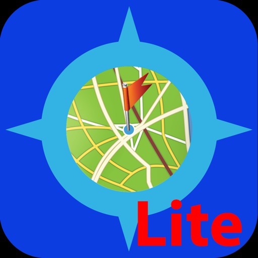
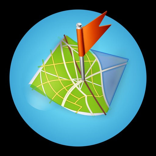
Vectorial Map allows you to view Mapsforge (OpenStreetMap) offline vector maps and record GPS tracks in the background. It supports different map styles, basic track editing and route planning, and online maps.
Features:
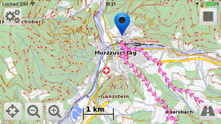
- View Mapsforge offline vector maps (.map).
- Change the map's look and feel on the fly using custom Mapsforge XML style sheets.
-* Record GPS tracks in the background.
- Support for slippy format online tile sources (such as OpenStreetMap.org, OpenCycleMaps, Mapquest Aerial/Satellit).
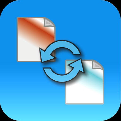
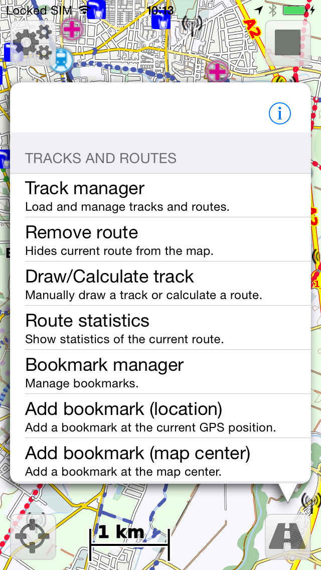
-* Import and edit tracks and waypoints (GPX, KML, KMZ).
-* Draw your own tracks and waypoints (e.g. for trip planning).
-* Calculate routes along up to 50 anchors points (requires internet connection).
- Search for POIs (requires internet connection).
- Capture map screenshots.
- Maps, styles, and track files can be imported using iTunes file sharing and with the iOS "Open in" feature (e.g. using Dropbox, Safari, etc.).
-* Open recorded tracks with other apps using "Open in" feature.
- Support for OSMAnd/Locus offline raster maps (*.sqlitedb).
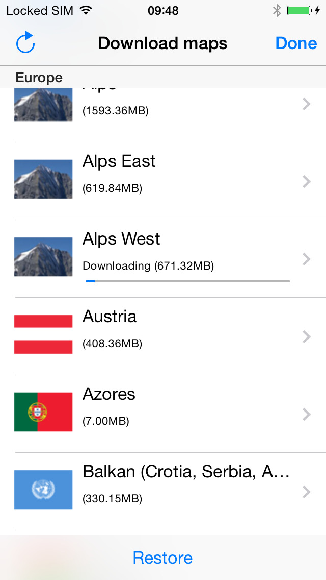
- Download maps (free) and styles directly in Vectorial Map.
* The features marked with "*" can be enabled with a single one-time in-app-purchase.
More information: http://www.vectorialmap.com/
Vectorial Map Help and Support: http://www.vectorialmap.com/ioshelp
### Manage tracks and waypoints on a Mac/PC ###
The desktop version of Vectorial Map available on the Vectorial Map website (http://www.vectorialmap.com/download) includes a database manager which can be used to easily export, import, and view tracks and waypoints which were recorded with the mobile version of Vectorial Map. More information: http://www.vectorialmap.com/mobiledbmanager
### Contact ###
Please contact us using the contact form if you have questions, feedback, or bug reports: http://www.vectorialmap.com/contact
### Mapsforge ###
Mapsforge is a popular offline vector map format which provides small, but high quality maps which can be easily adapted to custom needs using style sheets.
DISCLAIMER
Vectorial Map uses continuous GPS during tracking. Continued use of GPS running in the background can dramatically decrease battery life.
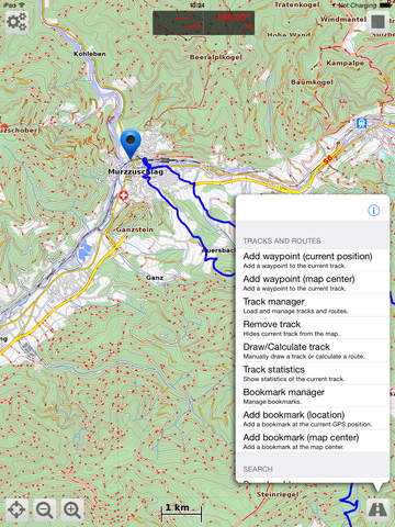
iPhone Screenshots
(click to enlarge)


iPad Screenshots
(click to enlarge)


App Changes
- October 19, 2014 Initial release
- November 06, 2014 New version 1.56
- April 14, 2015 New version 1.57
- January 26, 2016 New version 1.58
- July 05, 2016 New version 1.59
Other Apps From Harald Meyer