
App Description
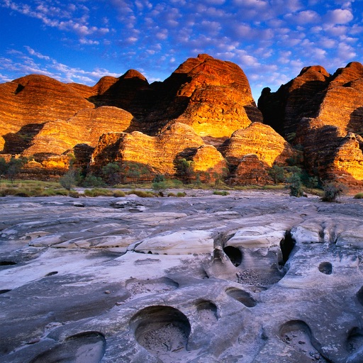
Fire Map World showing Fire detection satellite in the world for the last 24 hours.
Fire Map allows you to create and share fire location in the World in real time and allows users to identify fire locations with a potential risk to communities and property in an easier way with Apple Maps, spoken turn-by-turn navigation and weather forecast in your current location.
App includes maps of world showing recently burning fires that have been detected by satellites.
FEATURES:
Fire map location:
Australia and New Zealand, Central America, Canada, Europe, Russia and Asia, Africa, South America, South Asia,South East Asia, Southern Africa, USA
- create and share your own fire location
- showing locations of active fire
- weather forecast by location
- fire stations location
- synchronization
- Facebook and Twitter integration
- display a Map in different styles (Standard, Satellite, Hybrid)
- sharing location of active fire
- daily updated locations
- showing user's location
iPhone Screenshots
(click to enlarge)


iPad Screenshots
(click to enlarge)


App Changes
- January 17, 2014 Initial release
Other Apps From Martin Bovan