
What's New
Bug fixes
App Description
Aviation Weather Graphics provides HUNDREDS of weather graphics from all across the world! Quickly add graphics to your Favorites list for one touch access!
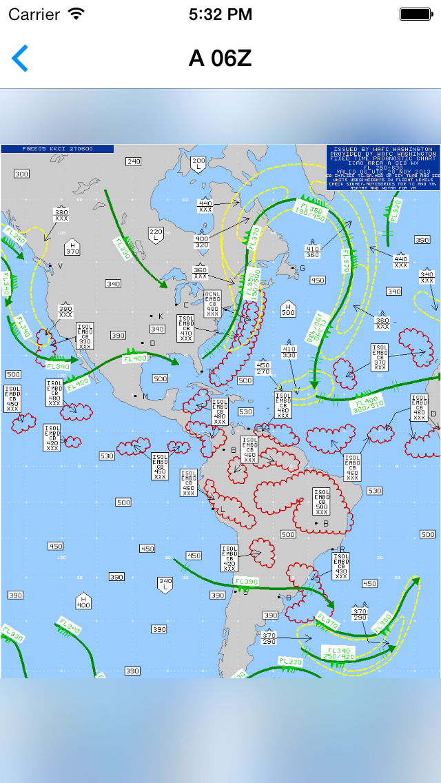
Also included is a powerful viewer to swipe between images, pan and zoom, and share images!
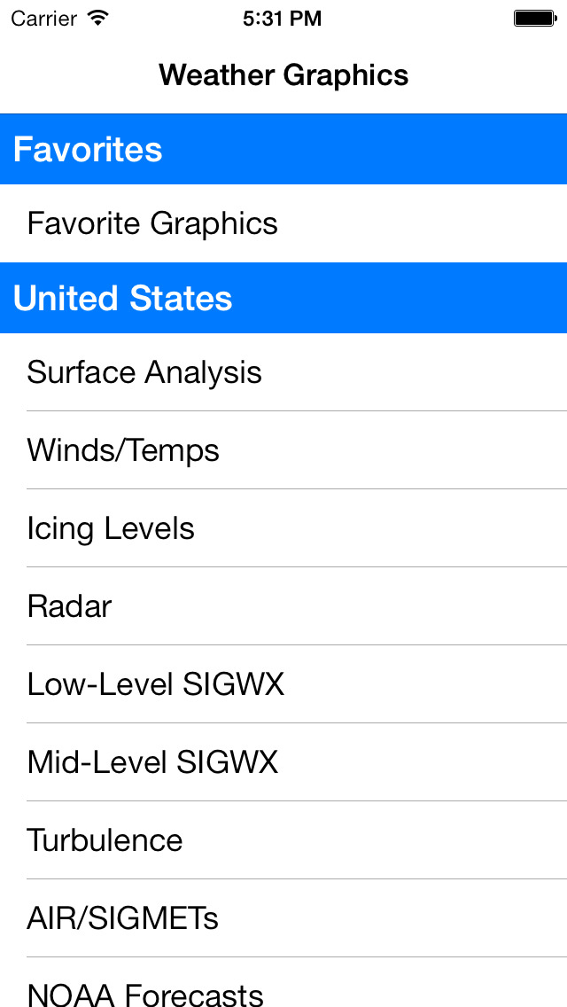
Aviation Weather Graphics offers the most comprehensive set of aviation weather graphics for pilots, including:
- Surface Analysis
- Winds and Temperatures
- Icing Levels
- Static Radar
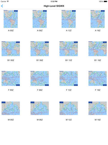
- Low/Mid/High-Level SIGWX
- Turbulence
- AIR/SIGMETs
- NOAA Forecasts
- Ceilings
- Visibility
- Flight Category
- METARs
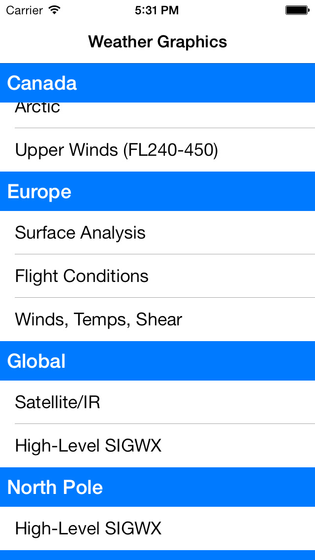
Separate categories provide very detailed graphics for:
- United States (provided by the NOAA by region)
- Canada
- Europe
- North Pole
- South Pole
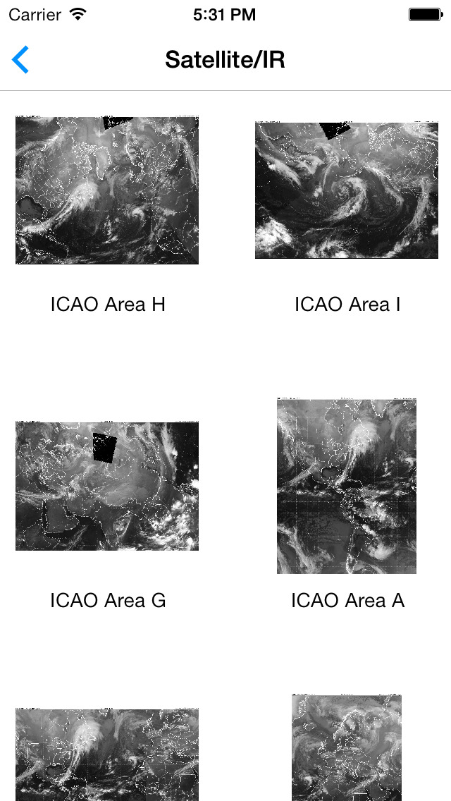
- Global
If you would like to see more graphics added, just drop us an email!
iPhone Screenshots
(click to enlarge)

iPad Screenshots
(click to enlarge)


App Changes
- December 12, 2013 Initial release
- December 01, 2014 New version 1.1
- January 04, 2015 New version 1.2
Other Apps From Higher Bar, LLC