
What's New
Performance improvements
App Description
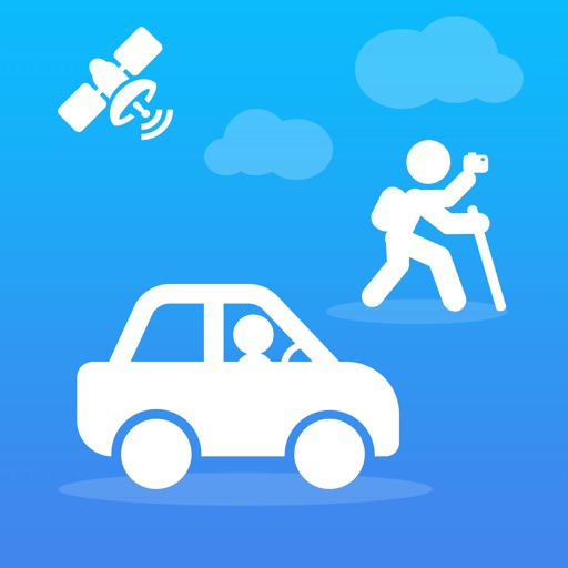
"Share Track" can record and share information such as travel routes, vehicle driving routes, and motion tracks according to user needs:
It is compact and compact, easy to operate, and saves power when recording tracks in the background.
“Share Track” has rich map annotation methods,it can use voice, text, video, photos and hand painted photos to mark any place on the map.
The imported/exported track data format is rich and compatible with various map software.
Adaptive to various track types (cycling, self-driving, hiking, etc.) and switching, eliminating the trouble of determining the type of motion in advance.
Automatically correct the track points very rigorously to ensure the accuracy of the track.
"Share Track" can closely combine videos, photos and track data to provide users with different sports and travel experiences:
You can include videos, photos and voices in the mobile phone album into the track data, and share with other friends with one click.
Videos/photos taken by the user during track recording can be loaded with one click. Depending on the geographic location of the Videos/photos, the videos/photos will automatically be displayed on the map with the track.
Photos/videos in mobile phone albums and recorded voices can be marked on the map to form rich annotations for tracks.
If you have “Share Track":
You can use Google Earth software to browse the travel routes, vehicle driving routes and motion tracks recorded by "Share Track" in the 3D scene, and you can also send track data to your friends' mobile phones through instant messaging tools such as FaceBook and Twitter.
You can include videos, photos and voices in the mobile phone album into the track data, and share with other friends with one click. Your friends can enjoy your shared videos and photos on the map simply by importing the track files you shared into "Share Track".
You can always enjoy the videos and photos of each trip on the map and relive the good memories.
You can view your altitude, speed and direction in real time while running or traveling outdoors.
You can make informative road books (including videos, photos, voices, tracks, etc.) to offer to your friends.
You can get real-time guidance to your destination through the track navigation function.
Also, please note: Continued use of GPS location services will result in increased battery drain. If no tracks are recorded, the program will not continue to use GPS location services to save power.
iPhone Screenshots
(click to enlarge)


App Changes
- August 29, 2013 Initial release
- September 11, 2013 New version 1.1
- October 11, 2013 New version 1.2
- October 14, 2013 New version 2.0
- November 15, 2013 New version 2.1
- February 16, 2014 New version 2.2
- February 22, 2014 New version 2.3
- July 30, 2014 Price decrease: $1.99 -> FREE!
- December 01, 2014 Price increase: FREE! -> $1.99
- April 14, 2015 Price decrease: $1.99 -> FREE!
- April 27, 2015 Price increase: FREE! -> $0.99
- April 27, 2015 Price decrease: $0.99 -> FREE!
- November 03, 2015 New version 3.0
- November 18, 2015 New version 3.1
- December 15, 2015 New version 3.2
- March 12, 2016 New version 3.3
- June 22, 2016 New version 3.4
- June 22, 2016 Price increase: FREE! -> $0.99
- July 05, 2016 New version 3.5
- July 12, 2016 New version 3.6
- November 05, 2016 New version 3.7
- June 14, 2019 New version 3.9
- September 16, 2023 New version 4.73
Other Apps From Shenzhen Siyang Xunfei Technology Co., Ltd.