
What's New
Bug fixes. Improved app functionality.
App Description
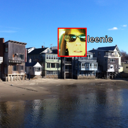
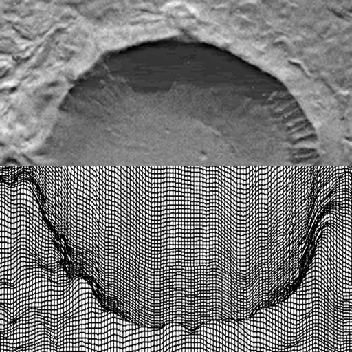
Aerial Camera takes geo-registered pictures that can be viewed with Google Earth and other apps that display KML ground overlays. It is based on a perspective camera model that relates screen pixels to ground coordinates (latitude and longitude) as a function of the latitude, longitude, altitude, heading, tilt, and field of view of the camera.
In contrast to KML photo overlays, which are ground level views of other objects at ground level, ground overlays are views of the ground taken from above, e.g., from windows, camera booms, balloons, etc.
Aerial Camera works on iOS devices with a camera and GPS.
Watch our "Turn Your iPhone into an Aerial Camera" demo on You Tube.
iPhone Screenshots
(click to enlarge)


iPad Screenshots
(click to enlarge)


App Changes
- July 24, 2013 Initial release
- November 16, 2013 New version 1.1
- May 26, 2014 New version 1.2
Other Apps From mark carlotto