
What's New
Fixed icon title.
New Global Precipitation vital sign added. View daily rain and snow around the globe.
Carbon Dioxide vital sign updated to use new color scale.
Sea Level vital sign updated to use data from Sentinel-6 Michael Freilich satellite
Updated Feedback link to email development team at JPL
Updated Info panel to include links to our web based Eyes on the Earth application.
Improved UI for devices with large screen resolutions.
Removed older spacecraft no longer in service.
Bug fixes and typo corrections.
App Description
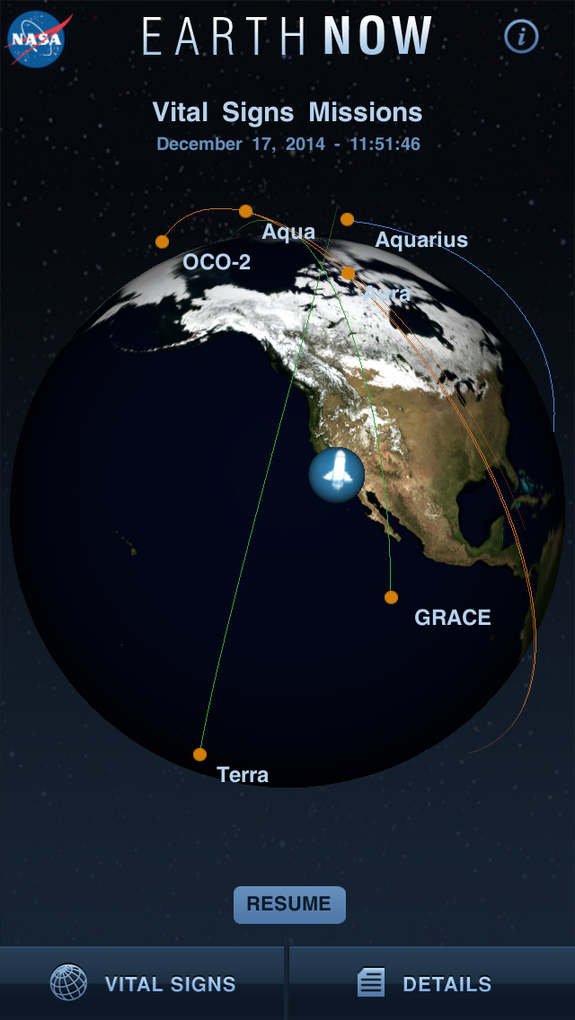
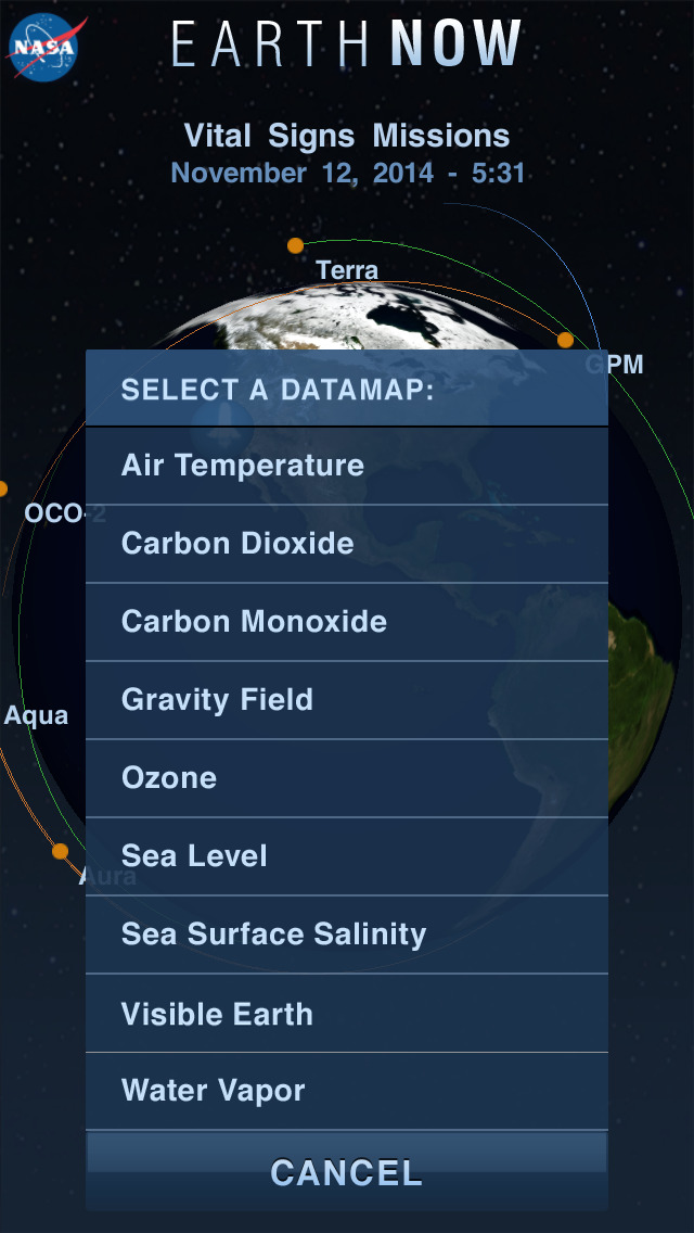
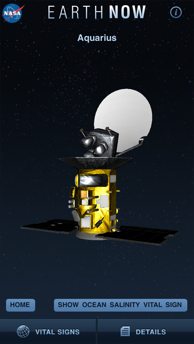
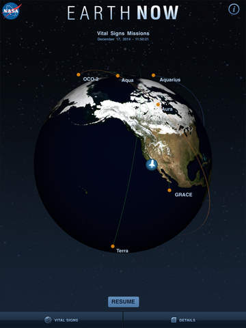
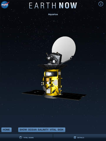
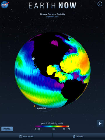
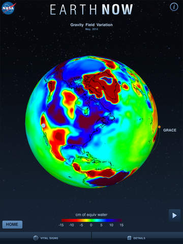
NASA's Earth Now is an application that visualizes recent global climate data from Earth Science satellites, including surface air temperature, carbon dioxide, carbon monoxide, ozone, and water vapor as well as gravity and sea level variations. Data sets are visually described using "false color" maps. Color-coded legends are provided to indicate relative strength or weakness of an environmental condition. The resulting 3D model of the Earth may be rotated by a single finger stroke, and may also be zoomed in or out by pinching 2 fingers. It was developed by the Earth Science Communications and Visualization Technology Applications and Development Teams at NASA's Jet Propulsion Laboratory, with support from NASA Headquarters.
iPhone Screenshots
(click to enlarge)


iPad Screenshots
(click to enlarge)

App Changes
- February 16, 2012 New version 1.3
- March 13, 2012 New version 1.4
- June 29, 2012 New version 1.42
- November 15, 2012 New version 1.52
- January 30, 2013 New version 1.62
- December 07, 2013 New version 1.63
- December 12, 2013 New version 1.64
- July 10, 2014 New version 2.0
- August 04, 2014 New version 2.1
- November 18, 2014 New version 2.2
- January 05, 2015 New version 2.3.1
- March 01, 2016 New version 2.5.5
- November 05, 2016 New version 2.5.7
- June 14, 2019 New version 2.7.0
- September 16, 2023 New version 2.12
Other Apps From Jet Propulsion Laboratory