
What's New
1) native support for iPhone 6 and 6+
App Description
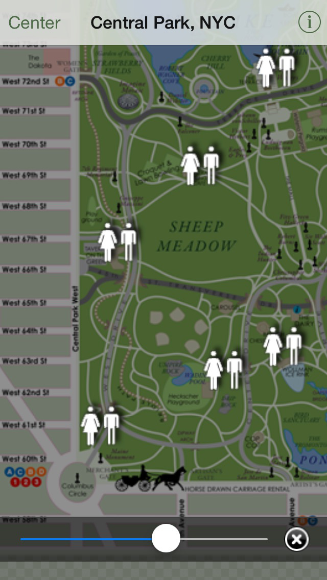
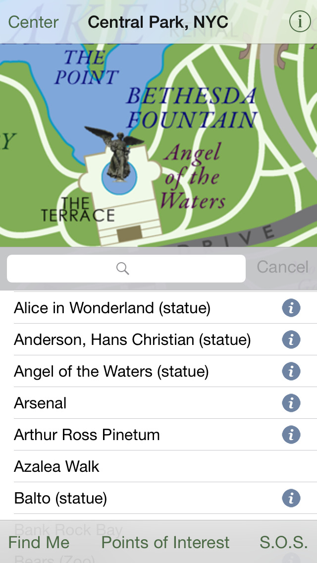
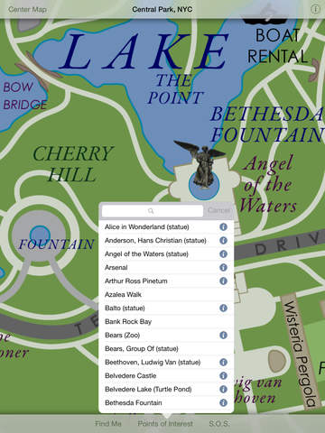
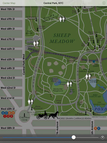
Imagine Central Park is a beautifully-rendered, interactive map of New York's Central Park, containing most major landmarks, paths and roads. Bordering streets and subway stops are also indicated. Discover Strawberry Fields, Sheep's Meadow, Bethesda Fountain, Summit Rock, Shakespeare Garden, Belvedere Castle, the Zoo and countless other NYC favorites for the first time, or for the 100th!
Need to find the nearest bathroom? Central Park NYC includes the locations of all public restrooms in the park.
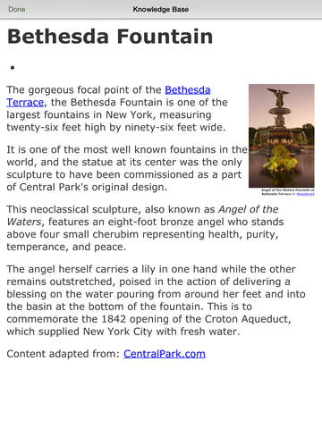
Want some background information on that statue you are looking at? Many points of interest are augmented with information from Wikipedia and other public resources.
Feeling lost? Owners of 3G iPhones and iPads can hit the 'find me' button and Central Park will show you exactly where you are in the park.
(For 1st gen iPhones and iPods, your general location will be indicated as closely as the incoming data allows, but this can be quite erratic in the park as there is very little positioning info to go on without GPS!)
iPhone Screenshots
(click to enlarge)


iPad Screenshots
(click to enlarge)


App Changes
- June 25, 2011 New version 2.6
- January 06, 2015 New version 2.7
Other Apps From Eric Redlinger