
App Description
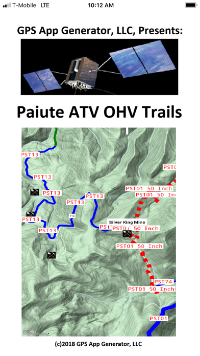
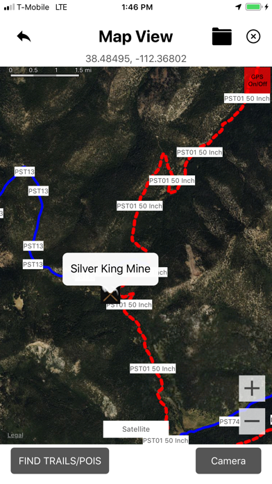
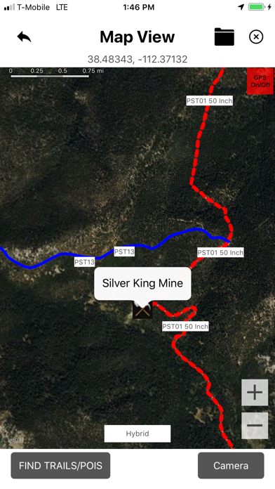
The Paiute Trail was started by Clyde Lay and Linden Bromine of Circleville in 1988. They expanded existing trails to accommodate 4 wheelers. Local politicians saw the benefit to their towns, and helped. The single Paiute trail is now a 238 mile loop over 3 mountain ranges, and has probably as many miles in side trails.
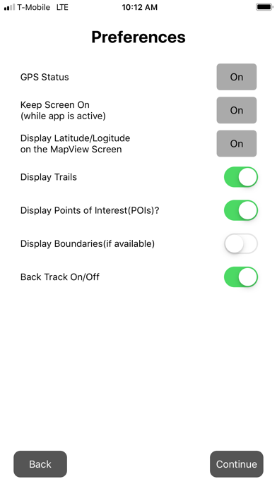
This app has the main trail and the side trails with color coding for difficulty (which can change in a day, or over time), and coding for trail width, meaning what size vehicles the trail with handle, and which are one way, if any. There are many Points of Interest (POIs) as well. Using this App will keep you on the existing trails, so you do not create new ones, keep you from getting lost, so the authorities do not have to use scarce resources to find you, and improve the likely-hood of you having a good time, and coming back, and recommending this Trail System to your friends, so they can come.
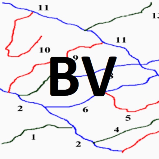
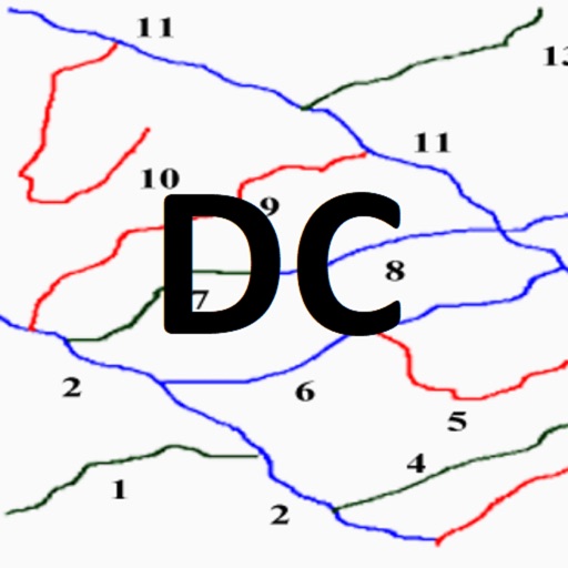
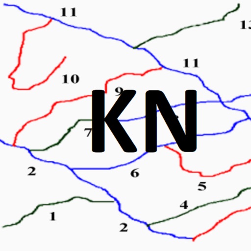
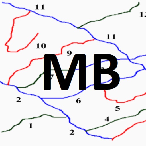
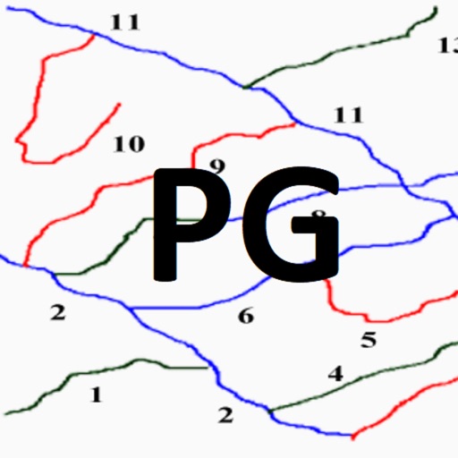
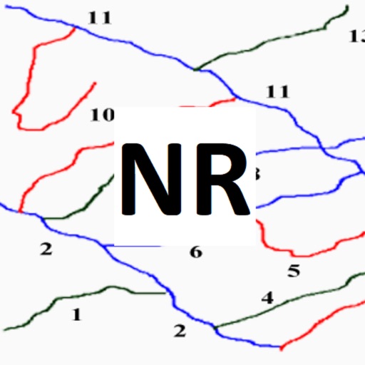
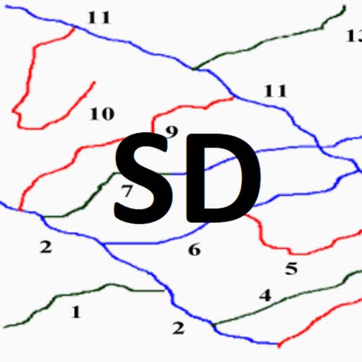
iPhone Screenshots
(click to enlarge)


App Changes
- April 03, 2021 Initial release
Other Apps From GPS App Generator, LLC