
What's New
- Minor UI improvements
- Built with latest API
App Description
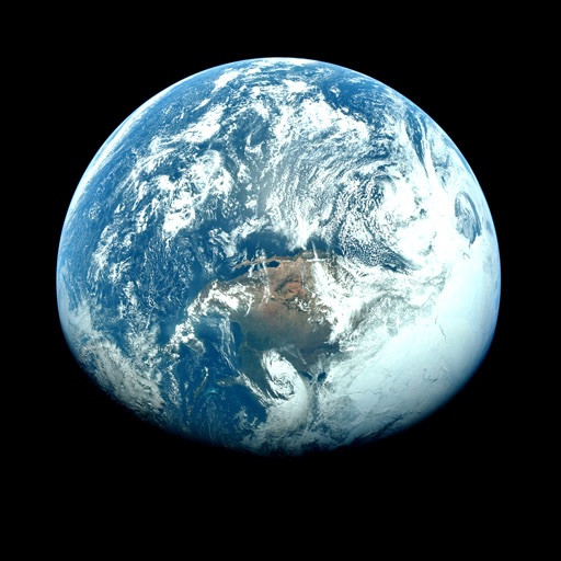
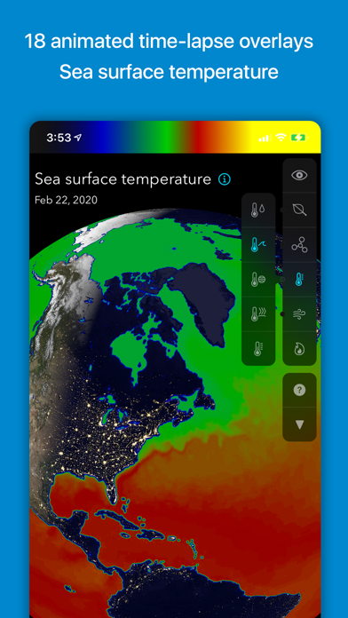
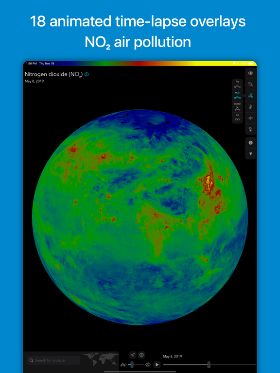
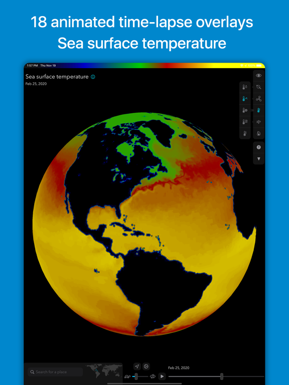
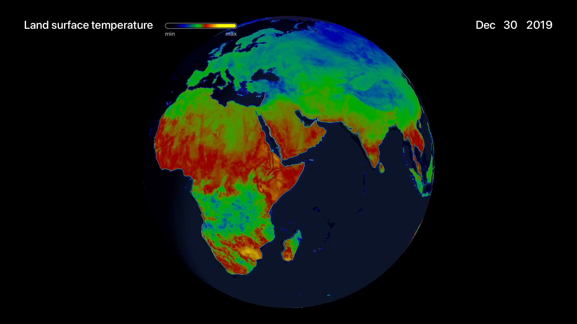
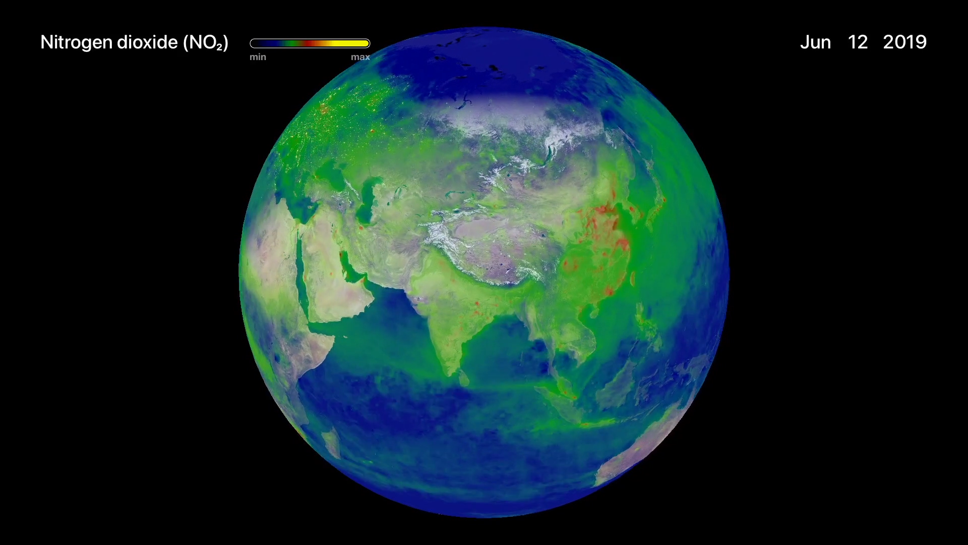
See planet Earth as never before. Using current and past data from satellites, Orbiter presents beautiful unfiltered satellite images and time-lapse overlays of Earth data. See invisible phenomena like atmospheric pollution, ozone, sea temperature, and more.
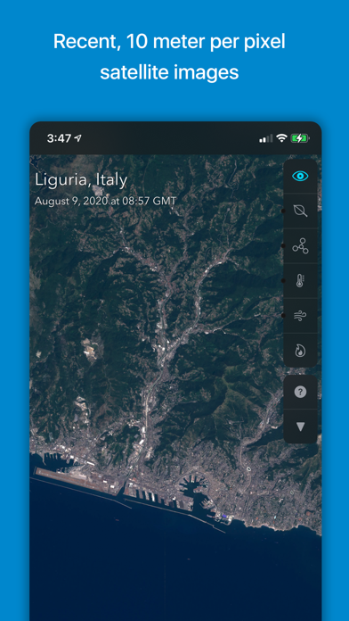
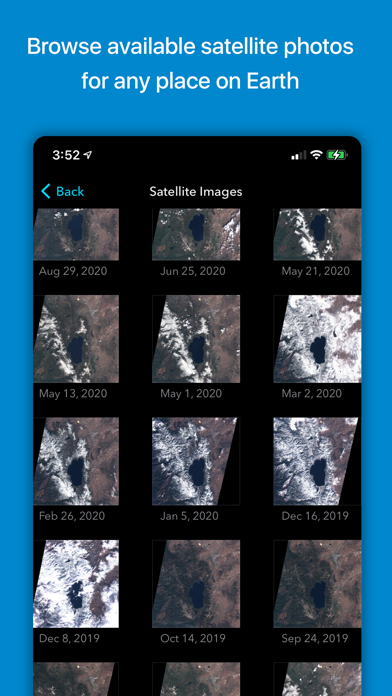
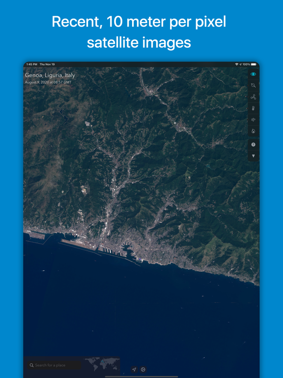
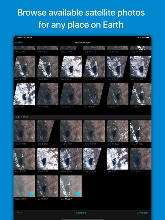
• RECENT SATELLITE IMAGES collected from the ESA’s Sentinel-2 satellites
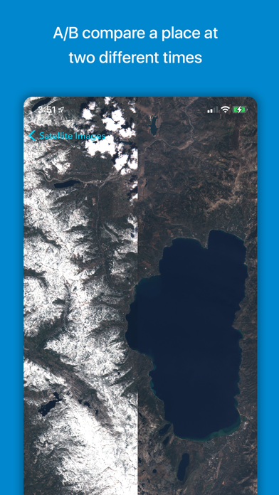
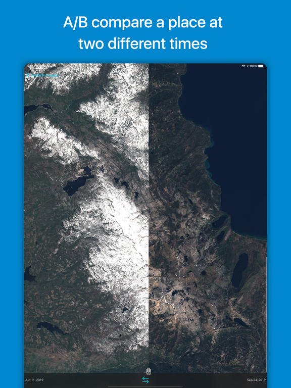
• COMPARE IMAGES with an A/B slider to see how landscapes change over time
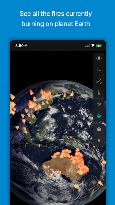
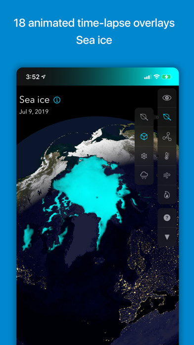
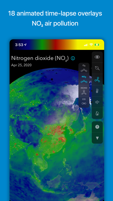
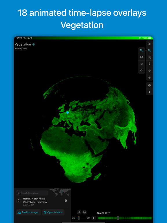
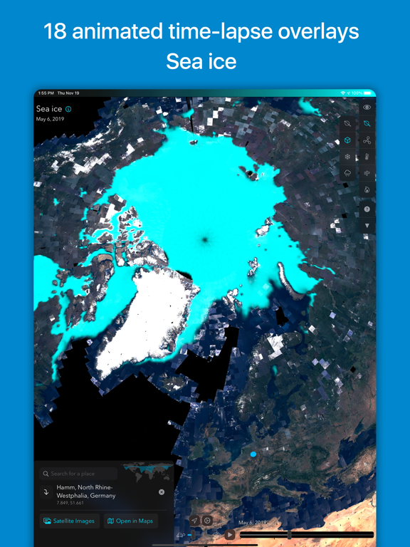
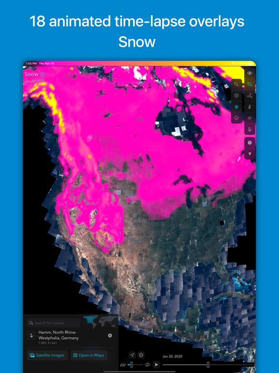
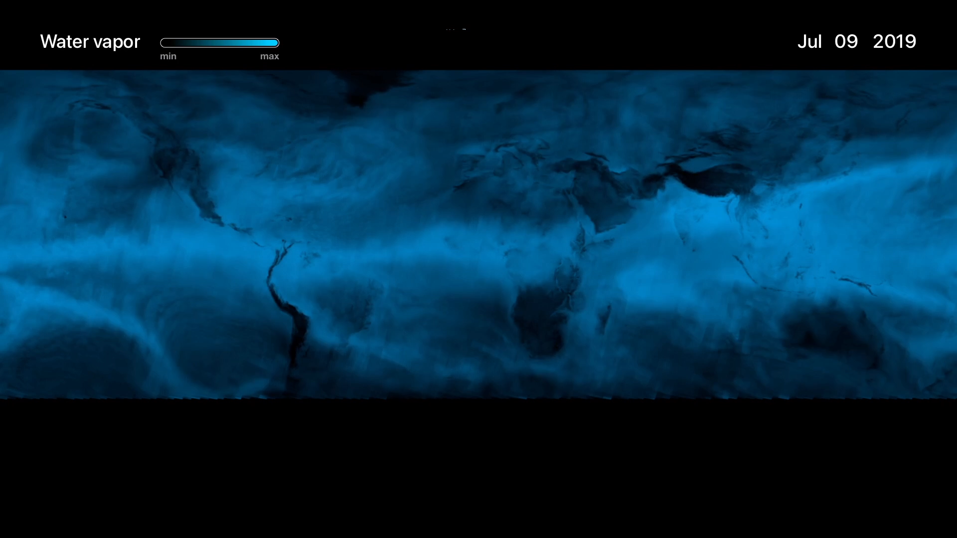
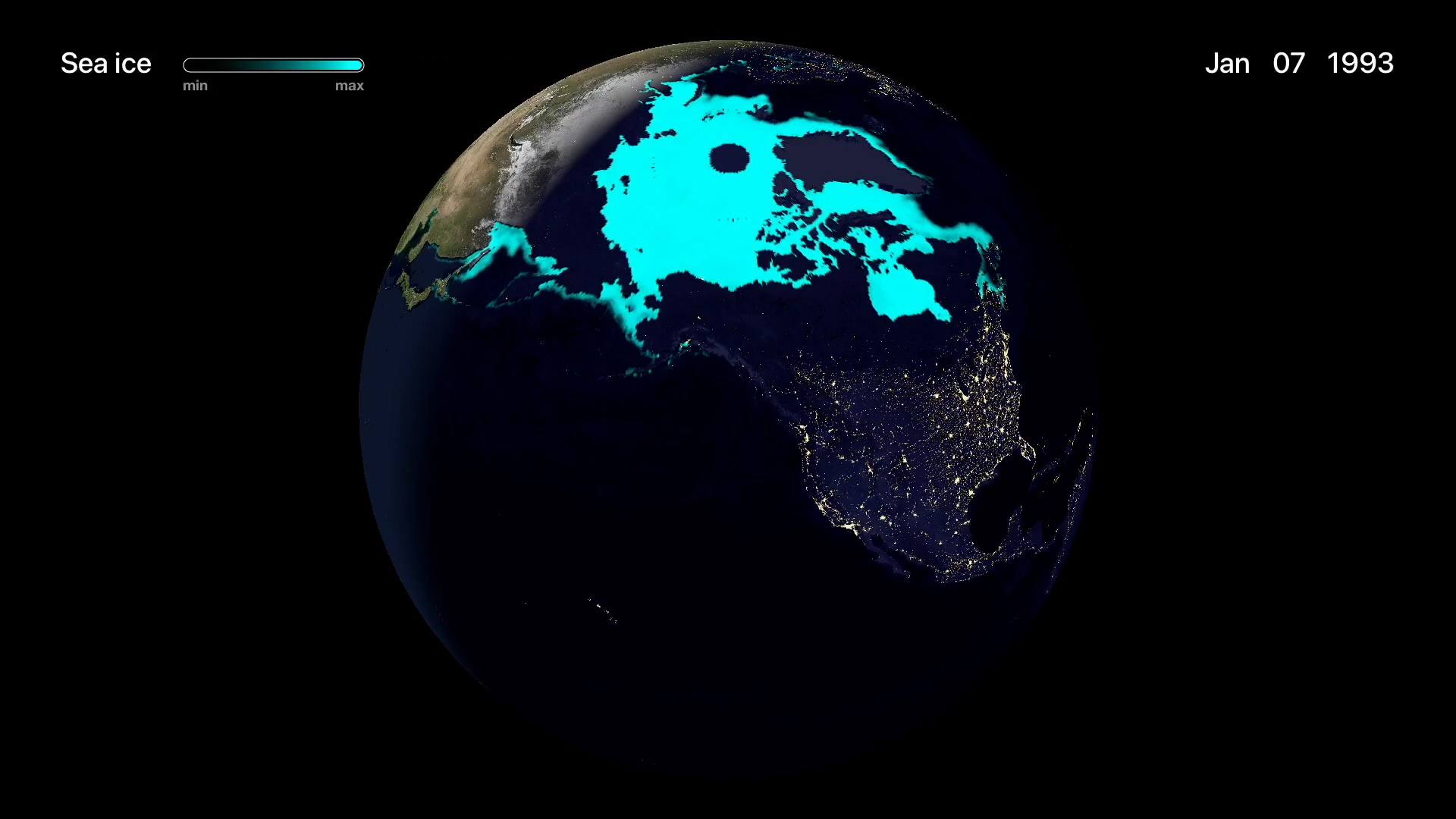
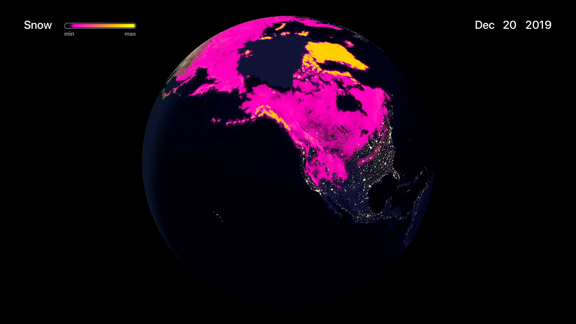
• VISUALIZE DATA including air pollution, vegetation, soil moisture, temperature, sea ice, snow, and more
• EXPLORE TRENDS in satellite-collected data, and see how an area changes throughout the seasons
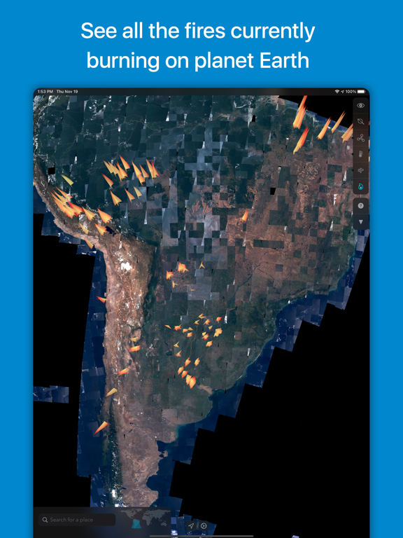
• ANALYZE NATURAL AND HUMAN-MADE PATTERNS as reflected in Earth data. See how human activity affects air pollution, view before-and-after comparisons of major construction projects and see the effects of disasters such as the Beirut explosion of August 2020.
• AUGMENTED REALITY lets you project the globe as if it were in your room. Hold your phone and move around the see the world from all sides.
Orbiter is built atop a new data engine called OPIE (Orbiter Planetary Intelligence Engine.) This server-side system collects raw numeric data from satellites and converts them into human-friendly formats.
Orbiter’s data visualizations represent a new way of perceiving satellite-collected Earth data. Whereas this data traditionally had to be viewed using slow, technical tools, Orbiter presents it in the form of beautiful colored animated overlays wrapped around a globe.
Orbiter’s mission is to unlock the massive public investment in the field of Earth observation. The ESA and NASA have spent billions of dollars developing and launching their Earth observation programs. Until now, the data they collect has been used primarily within the domain of professional researchers. Orbiter makes the data accessible to everyone through a visual interface that encourages exploration and discovery.
The Orbiter app is built with Apple's Metal graphics API for maximum performance. Satellite data acquired from the European Space Agency’s Copernicus programme API. iOS exclusive.
iPhone Screenshots
(click to enlarge)


iPad Screenshots
(click to enlarge)
Apple TV Screenshots
(click to enlarge)


App Changes
- August 06, 2021 New version 1.1.1
Other Apps From Rayner Software