
What's New
Fixes and improvements
App Description
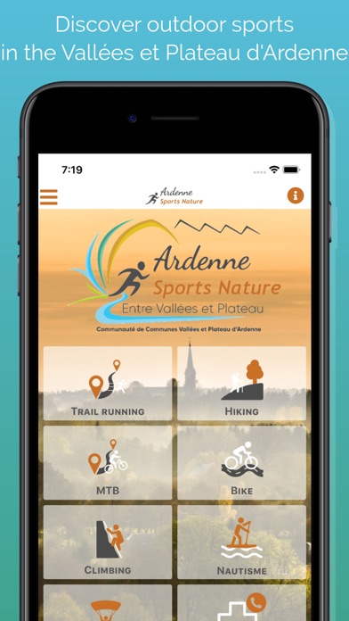
From the city of Rocroy to the Semoy valley, discover the Valleys and Plateau of Ardenne territory which gathers some of the most beautiful jewels of the Ardennes.
The application offers you trail running, hiking and mountain bike routes to discover the Vallées et Plateau d'Ardenne while practising your favourite activity.
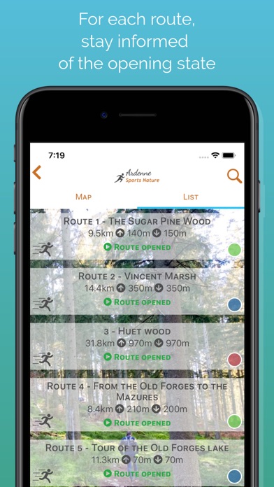
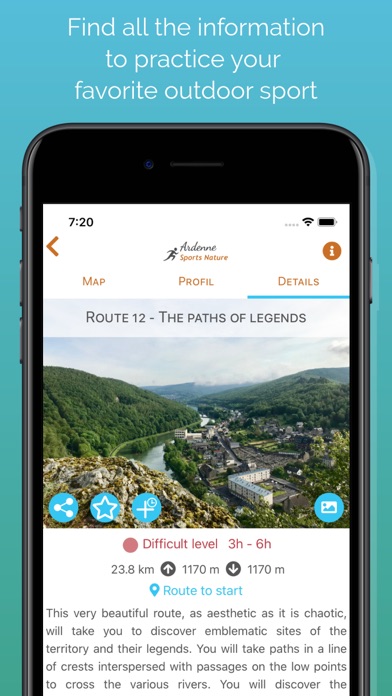
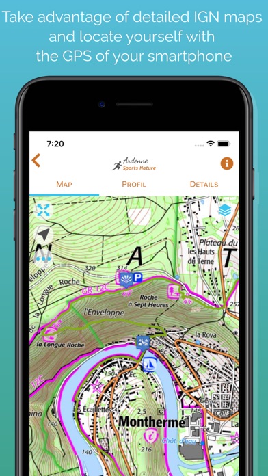
Once the app is installed, you will be able to download maps for offline use: Open Topo Maps or IGN maps. The application also includes all the routes and the associated altitude profiles.
Many features will help you practice the trail-running :
• get your location on the detailed IGN maps with the GPS
• training workouts
• record your chronos
• description of the route and points of interest
• monitoring alert to be notified if you move away from the route
• call or send an emergency SMS in case of problems
• sending predefined SMS to your contacts
• reporting a problem on the route
• adding comments
• sharing on social networks
• Weather in 5 days (Openweathermap)• module secours : déclenchement d’un appel ou envoi d’un SMS d’urgence en cas de problème
Access to all features requires that you use a Trace de Trail account.
Remark : Continued use of GPS running in the background can greatly decrease battery life.
iPhone Screenshots
(click to enlarge)

App Changes
- May 01, 2020 Initial release
- July 14, 2020 New version 1.0.1
- August 05, 2021 New version 2.0.0
- September 16, 2023 New version 3.0.1
Other Apps From Yoomigo