
What's New
Redesign the app to work with iPhone and iPad.
App Description
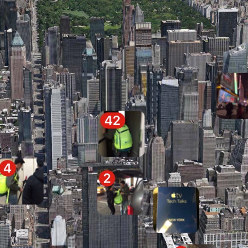
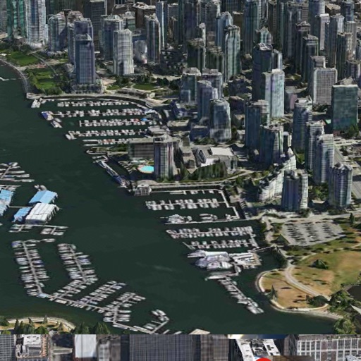
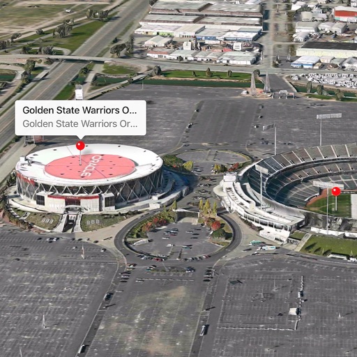
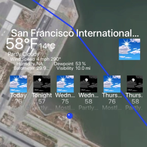
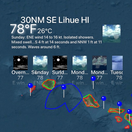
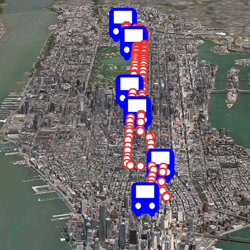
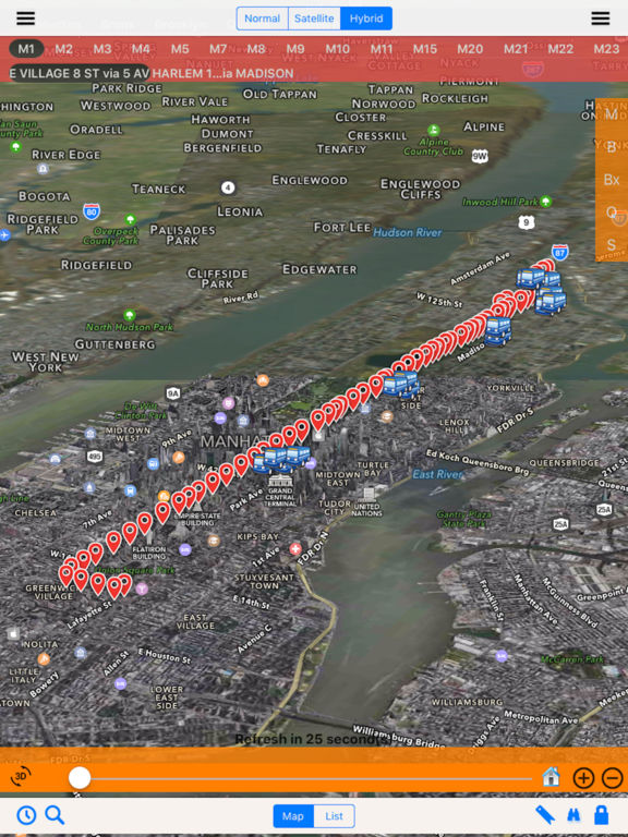
In the past, 3D Modeling requires state-of-the-art computing machines and advanced graphic programming for a building or object. With Apple Map flyover, 3D Cities and Places around the worlds are now available on your latest iOS devices.
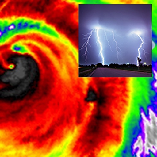
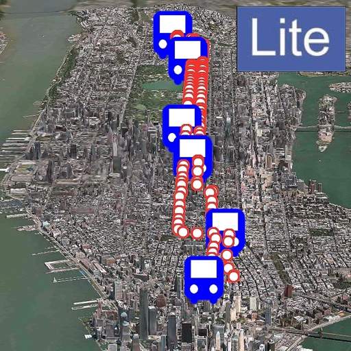
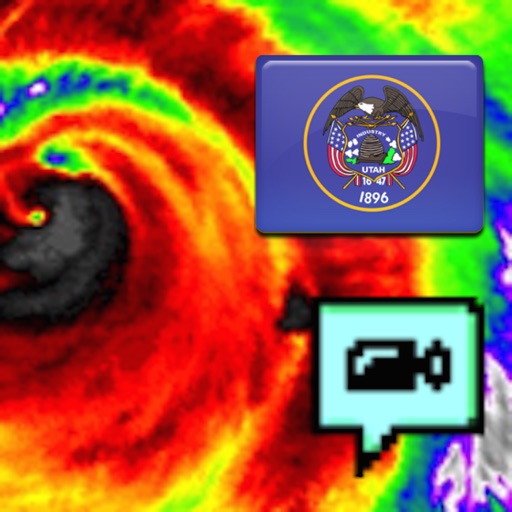
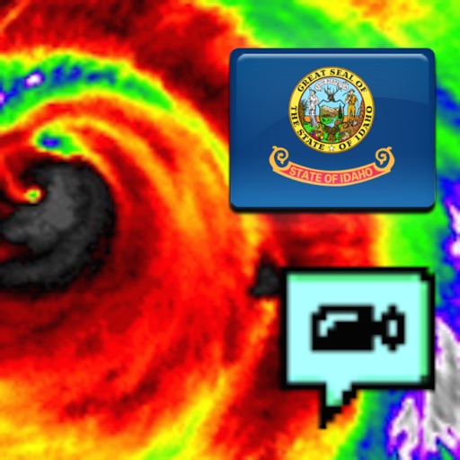
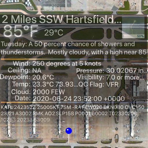
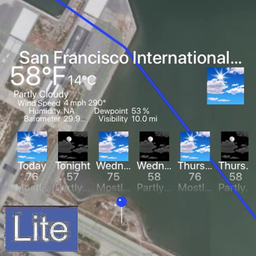
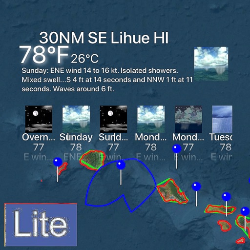
The Next Generation of 3D Bus app with NOAA Radar is here. Taking a bus and ready to see everything around you in 3D and check out the real time weather. In addition, this is the first bus app with built-in NOAA Radar support (zoom in/out to see the regional radar).
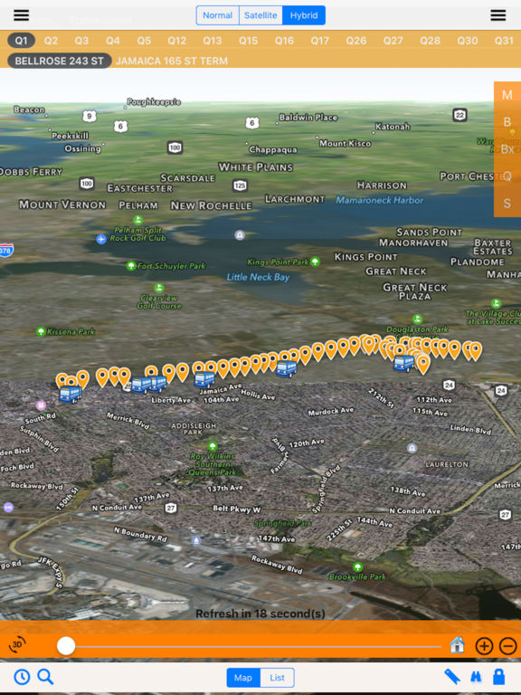
iOS App Quick Started:
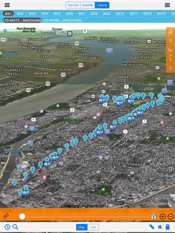
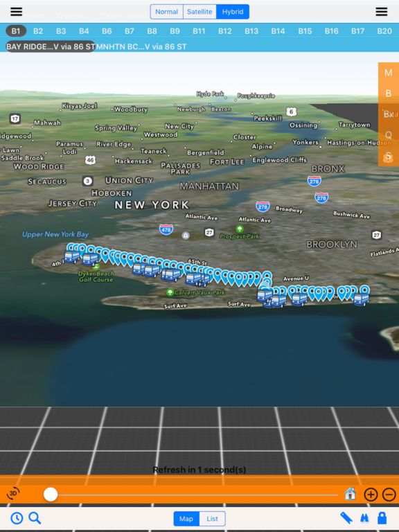
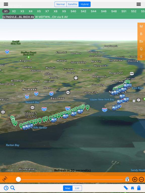
- By default, Manhattan M1 is selected. Click on the route menu or the right side bar to select a different route. Click on the direction menu or left side bar to select a different direction.
- Select "M" for Manhattan, "B" for Brooklyn, "Bx" for Bronx, "Q" for Queens and "S" for Staten Island.
- Select a bus stop to see the schedule.
- Use the slide bar to navigation through the stops.
> To see the city 3D View, follow the steps below:
- Make sure Flyover is selected.
- Click on the "3D" button to see the 3D rotation view. Click on the "3D" button again to stop rotation.
- Zoom in/out and use the "3D" button for the 3D Map
- Use two fingers up or down to see the 3D View.
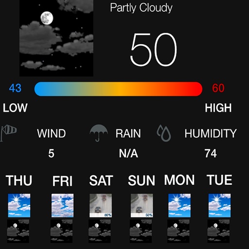
iPhone Screenshots
(click to enlarge)


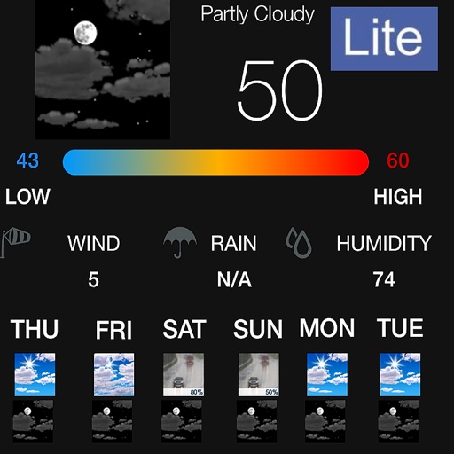
iPad Screenshots
(click to enlarge)
App Changes
- August 28, 2016 Initial release
- November 08, 2016 New version 2.8
- July 15, 2020 New version 20.20
Other Apps From Jufen Chang