
What's New
• PilotPal has an all new look and feel!
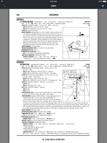
• We've added airport pages that include a map, frequencies, elevation and PDF charts.
• We've added grass strips, helipads, seaports and more.
• Searching is improved.
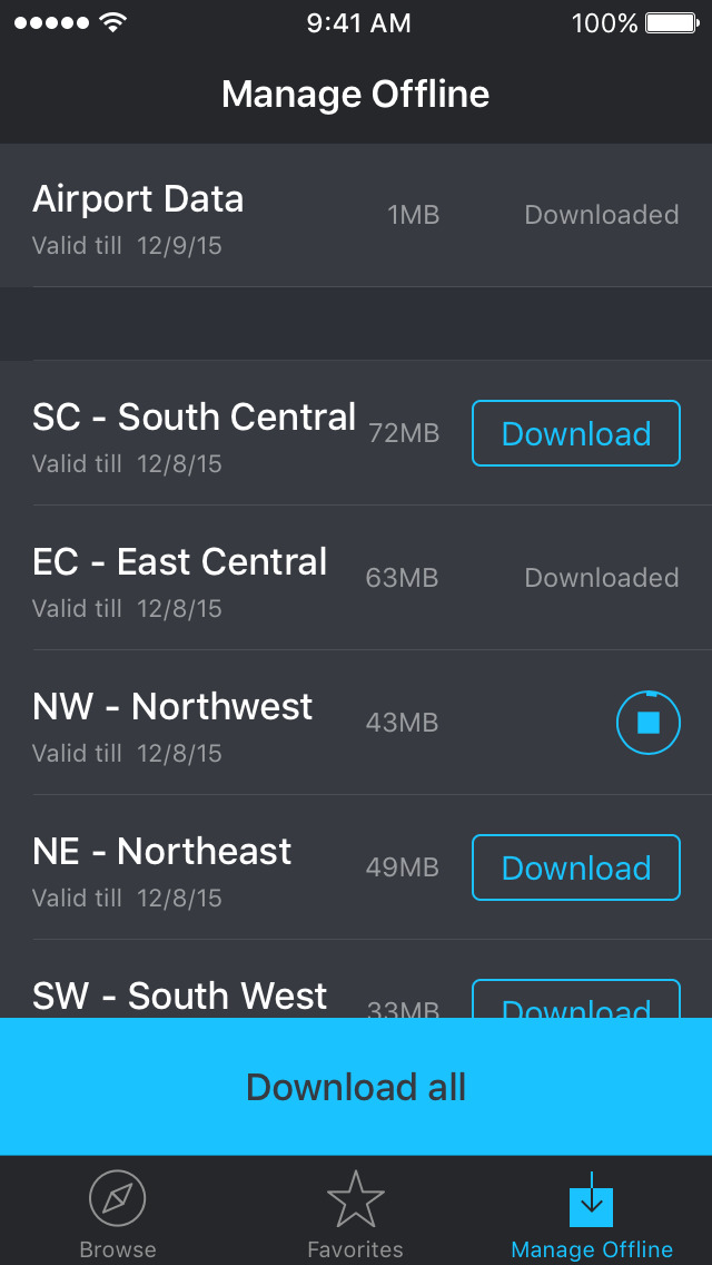
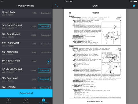
• Offline regions are now available by states instead of regions.
• New light and dark modes.
• Lots of new features coming soon!
App Description
PilotPal is the easiest way to flight plan. PilotPal brings the FAA airport facility directory and Airport Diagrams to your pocket.
Features:
• Offline Charts: Easily download airports or entire regions for offline use
• Airport Facility Directories
• Airport Diagrams
• Airport Information including:
• Maps
• Frequencies
• Elevation
• Helipads
• Updated FAA charts every month so you're always up to date.
• Nearby airports: Easily find airports around you
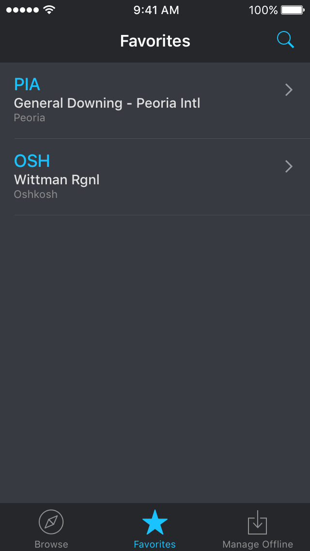
• Favorite airports: Save your favorites for quick access
• Airport search: Easily find any airport or helipad
• Dark mode
• iPad support
Built by real pilots with a love for aviation
Feedback or issues: [email protected]
Legal: Airport facility directories and airport diagrams are provided by the FAA. Always consult appropriate and available sources to prepare for your flight.
Our privacy policy is available at: https://pilotpal-1139.firebaseapp.com/privacypolicy.htm
Our terms of service is available at: https://pilotpal-1139.firebaseapp.com/termsofuse.html
iPhone Screenshots
(click to enlarge)


iPad Screenshots
(click to enlarge)


App Changes
- December 03, 2015 Initial release
- December 15, 2015 New version 1.0.1
- February 03, 2016 New version 1.0.2
- July 03, 2016 New version 1.0.5
- June 15, 2019 New version 1.0.7
- September 16, 2023 New version 2.0
Other Apps From Tinybyte Apps LLC