
What's New
IOS12 Update
App Description
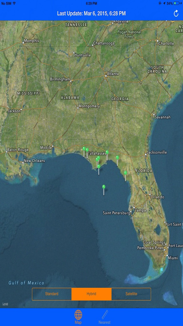
Real-Time NOAA Buoys Stations and Ships locator!
Get consequent updates even on a very low Internet speed conditions!
Simple, neat and easy-to-use interface!
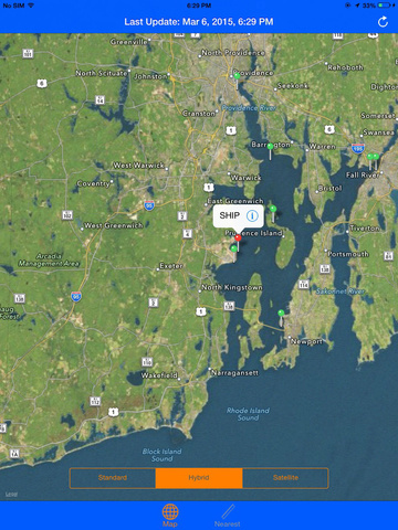
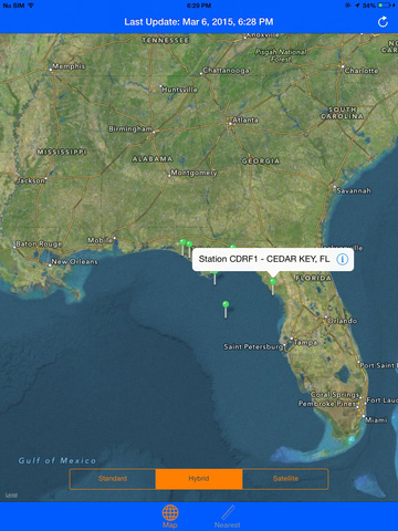
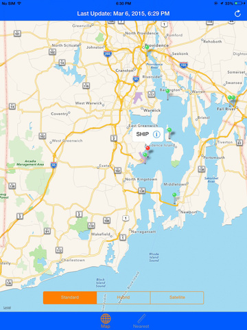
See live stations and ship positions for any desired location including GPS.
NOAA Buoys & Ships map is a great resource for Boating, Sailing, Diving and Fishing purposes!
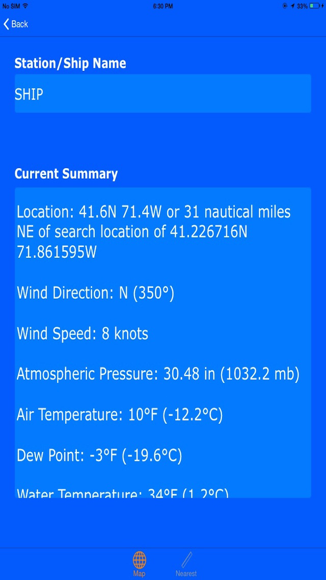
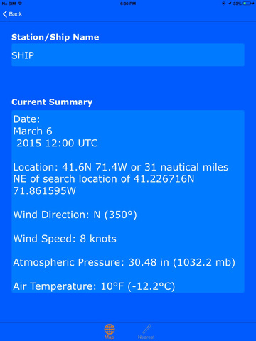
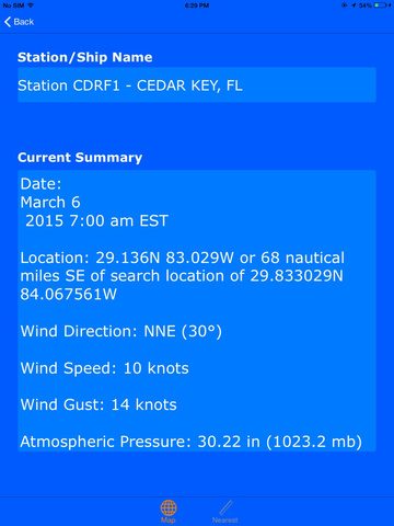
Retrieved information is relevant to buoy station or ship Location address, Wind Direction, Wind Speed, Wind Gust, Atmospheric Pressure, Pressure Tendency, Air Temperature, Dew Point, Water Temperature, Significant Wave Height, Visibility etc.
Must have tool for every marine navigator.
Map retrieves real-time weather data from NOAA's NDBC (National Data buoy Center) and displays it on map in an easy to understand format.
All buoy stations and ships are displayed on the map based on the user current location within 100 miles radius while boating.
Sailors can check and find the nearest buoy stations and ships as a list showing station name, ship name, date and time.
Disclaimer:
'Maps and map related products available on this app, including but not limited to imagery, data, and data sources are hereby specifically identified as being unsuitable for use in navigation."
The Information Provided on this app is for Informational Purposes Only, "NOT TO BE USED FOR NAVIGATION".
iPhone Screenshots
(click to enlarge)


iPad Screenshots
(click to enlarge)
App Changes
- March 17, 2015 Initial release
- May 03, 2015 Price decrease: $1.99 -> $0.99
- June 13, 2019 New version 1.3
Other Apps From Mac George Roberts