
What's New
+ Some small improvements
App Description
Start Your 14-Day Free Trial on All Subscriptions Today
Get the latest charts you can use offline, weather, tides and POIs from ActiveCaptain and Waterway Guide.
Connect AIS and your boat GPS and instruments data via WiFi connection. Plan routes, record your tracks, find new friends on the water and share your data across the Live Sharing community.
THE MOST ADVANCED MARINE NAVIGATION APP
• Optimised for both iPhone and iPad with multi-screen mode
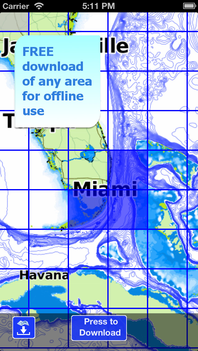
• Vector and raster nautical charts for offline use, updated regularly
• Satellite image
• Routes/Tracks navigation with real-time information on bridges, hazards, and best fuel prices
• Manual route planning
• Basic anchor alarm and AnchorLink with mirroring and email/telegram notifications
• Marine Forecasts for wind, waves, currents and worldwide weather information
• 1800+ Weather buoys to get real time sea info
• Tide & Current predictions and simulations
• USACE surveys and USCG List of lights
• 14000+ vector lake maps
• Easy sharing and uploading of tracks, markers and routes
• Live Sharing-Aqua Map community to find new friends on the water
• ActiveCaptain & Waterway Guide community integration
• Real time display of NMEA instruments (depth sounder, wind sensor, compass, GPS)
• AIS target display with automatic collision detection
• Powerful search with advanced settings
• Light/Dark display
• Optimised battery usage
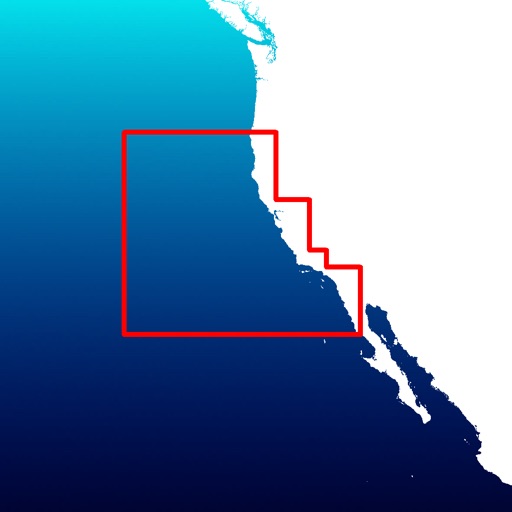
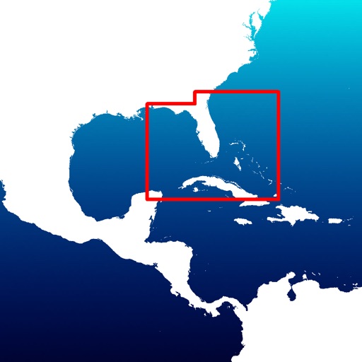
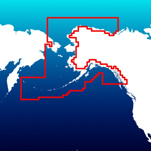
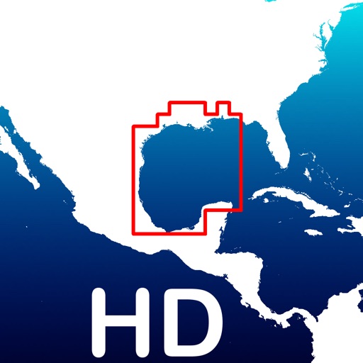
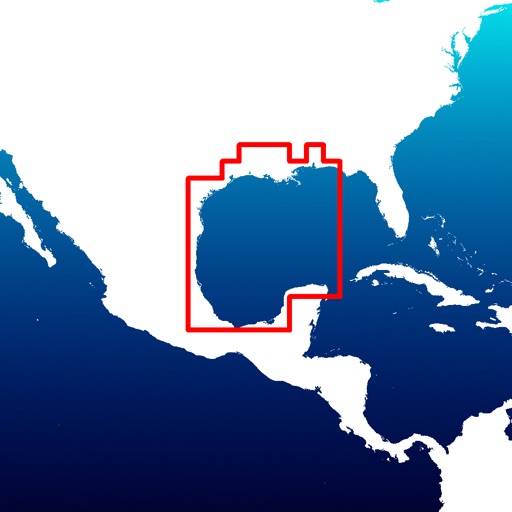
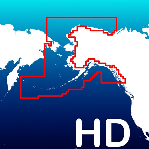
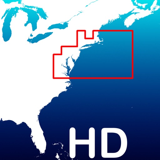
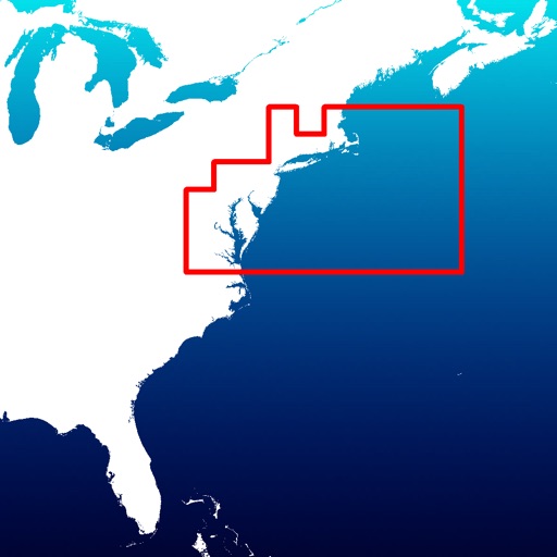
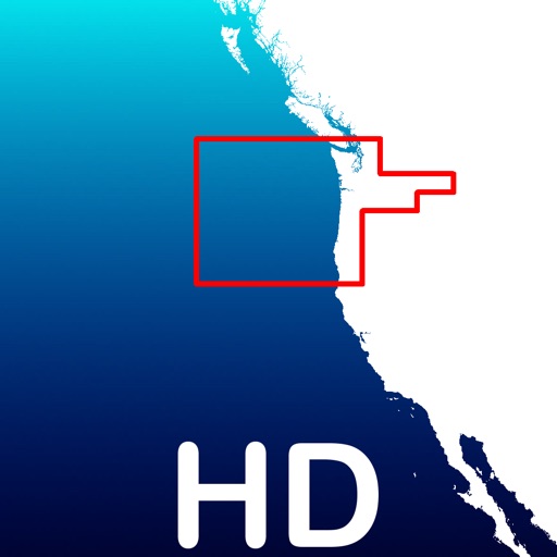
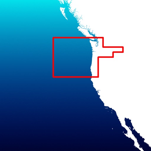
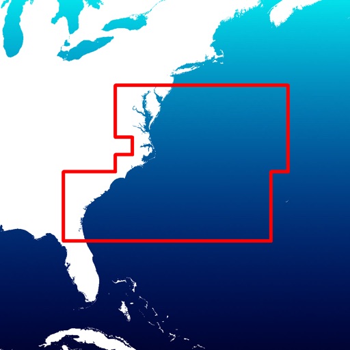
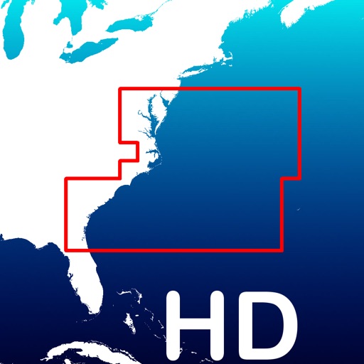
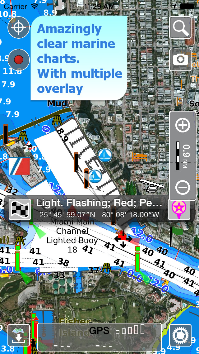
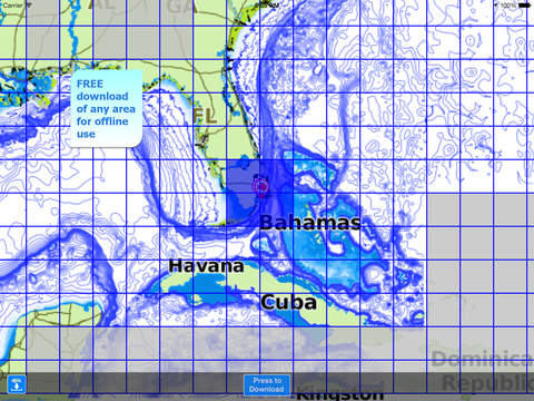
► NAUTICAL CHARTS
Official NOAA charts complete with depth contours, navigation markers, buoys, lights and other chart features. You can download the maps at home on all your devices and use them on the boat offline (no internet connection required).
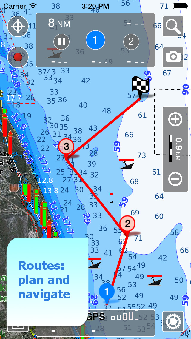
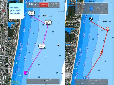
► ROUTES and WAYPOINTS
Plan your trip, insert and edit waypoints. Navigate your route and your track, monitor distance, time (ETA), course and heading to next waypoint or your final destination.
► ANCHOR ALARM
Set the anchor position and drift radius and monitor in real time. If the GPS position is outside the defined range, an acoustic alarm is sounded and a visual alarm is displayed. Low battery and bad GPS reception alarms are also available.
► TIDES & CURRENTS
You can calculate the prediction for more than 7500 stations in US, Canada, Bahamas & Australia. See the T&C trend on the map and simulate any future date.
► LOADING and SHARING
You can share your favorite's markers on Facebook or send an email with your last daily track. Not only, you can also load any KML, KMZ, GPX found in internet or received from your friends.
► COMMUNITIES
Join “Live Sharing” and become part of Aqua Map community: find new friend on the water, chat and send your data to anyone without leaving the app.
Access tens of thousands of points of interests and reviews all over the world from ActiveCaptain and Waterway Guide communities.
► AQUA MAP MASTER
Transform your device into a chartplotter:
• Most updated USACE surveys and USCG List of Lights
• Marine forecasts (wind, waves, currents and weather)
• AnchorLink with mirroring and telegram/email notifications
• Connect NMEA (and SignalK) devices through WiFi and use instrument and AIS data all across the app (navigation and anchor alarm)
• Display AIS targets on the chart with automatic collision detection
• Route Explorer with real-time information on bridges, hazards, and best fuel prices
(Note: This subscription includes extra features but does not include cartography; it must therefore be paired with a cartography subscription)
► TYPE OF PURCHASES
Unlimited: download and update forever (available only for some subscription)
Subscription: one year auto-renewable subscription. The payment will be made through your (Apple ID) account. The subscription will renew automatically unless cancelled at least 24 hours before the expiration. The user can manage their subscription and turn off auto-renewal in the Apple ID Account Settings section after purchase.
Terms of Service: https://www.aquamap.app/terms-and-conditions
Privacy Policy: https://www.aquamap.app/privacy-policy
iPhone Screenshots
(click to enlarge)


iPad Screenshots
(click to enlarge)


App Changes
- October 19, 2014 Initial release
- November 12, 2014 New version 3.5
- March 25, 2015 New version 4.3
- May 06, 2015 New version 4.4
- May 16, 2015 New version 4.4.1
- July 01, 2015 New version 5.0
- August 22, 2015 New version 5.1
- October 10, 2015 New version 5.2
- October 27, 2015 New version 5.3
- December 08, 2015 New version 5.4
- February 02, 2016 New version 5.5
- February 14, 2016 New version 5.5.1
- November 06, 2016 New version 6.1
- December 20, 2016 New version 6.2.1
- June 13, 2019 New version 13.4
- June 29, 2019 New version 13.5
- August 16, 2019 New version 13.10
- August 28, 2019 New version 14.0
- September 04, 2019 New version 14.1
- October 15, 2019 New version 14.3
- November 11, 2019 New version 14.4
- December 17, 2019 New version 20.1
- December 24, 2019 New version 20.3
- January 07, 2020 New version 20.4
- January 14, 2020 New version 20.5
- January 21, 2020 New version 20.6
- January 28, 2020 New version 20.7
- July 14, 2020 New version 21.7
- October 23, 2020 New version 23.4
- November 11, 2020 New version 24.0
- December 09, 2020 New version 24.2
- August 05, 2021 New version 26.6
- October 08, 2021 New version 27.1
- September 16, 2023 New version 36.0
- November 03, 2023 New version 36.2
- November 15, 2023 New version 36.4
Other Apps From GEC s.r.l.