

What's New
- Increased text size of fire summary and details
- Added support for Dark Mode
App Description
Fire Finder is your best source for finding information and images of wildfires in the United States. Display fire data on a convenient map with satellite imagery or choose from a list of fires. Easily share fire images and information with friends and loved ones.
Features:
- Maps wildfire locations and fire perimeter data (where available)
- Photo gallery of fires (where available)
- Display fire information from state and federal sources including: inciweb.org, fire.ca.gov, U.S. Forest Service and more
- Map active fire perimeters from geomac.gov
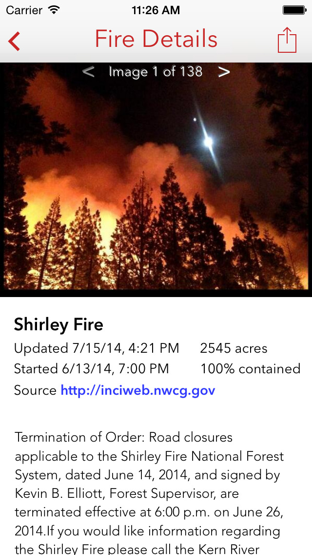
iPhone Screenshots
(click to enlarge)


App Changes
- July 30, 2014 Initial release
- February 19, 2016 New version 1.1.0
- June 23, 2016 New version 1.2.0
- August 08, 2016 New version 1.2.1
- June 14, 2019 New version 2.0.0
- July 14, 2020 New version 2.1.0
Other Apps From Scott Martin