
What's New
- Changed the drawing for path open to motorised vehicles
- Small improvements to benefit fully from iOS10
App Description
The ideal App for hikers, bikers and tourist visiting the "Cinque Terre" area.
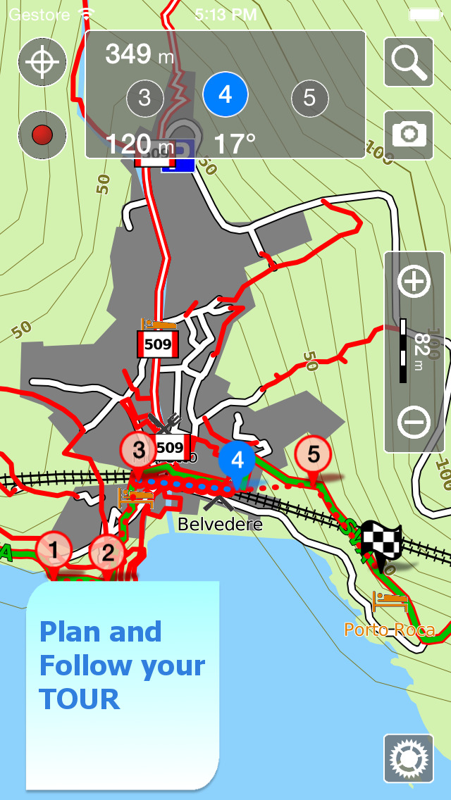
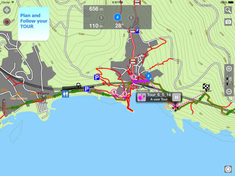
The App contains the best topo maps of the area with trails, streets, and isoline. Check your position and never get lost. Press the RECORD button, put the phone in your pocket and record your day.
►► Features:
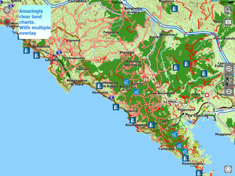
• Amazingly clear maps, thanks to the Retina technology usage.
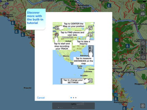
• Easy to use and iOS 7 user interface.
• Optimized battery usage with battery monitoring; up to 14 hours continuous track.
• OFFLINE maps usable without the need of any internet connection.
• Store your track without the need of cellular data or phone signal.
• Receive/make phone calls and text while track's recording.
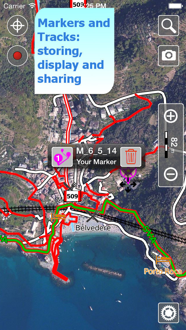
• Share tracks, markers and photos in various formats (KMZ and GPX).
• Store an unlimited number of tracks and markers.
• Customize your Marker's icon and Track's color.
• Switch between Map display modes (Offline, Satellite, Roads).
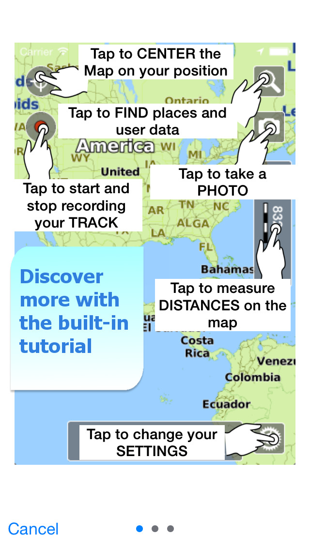
• Measure distances on the map.
• Animated track preview on Google Earth™ and Maps.
• Load any track and marker from internet communities (KMZ, KML, GPX even if zipped)
• Search object around you and around a point selected on map
• Search world places by name
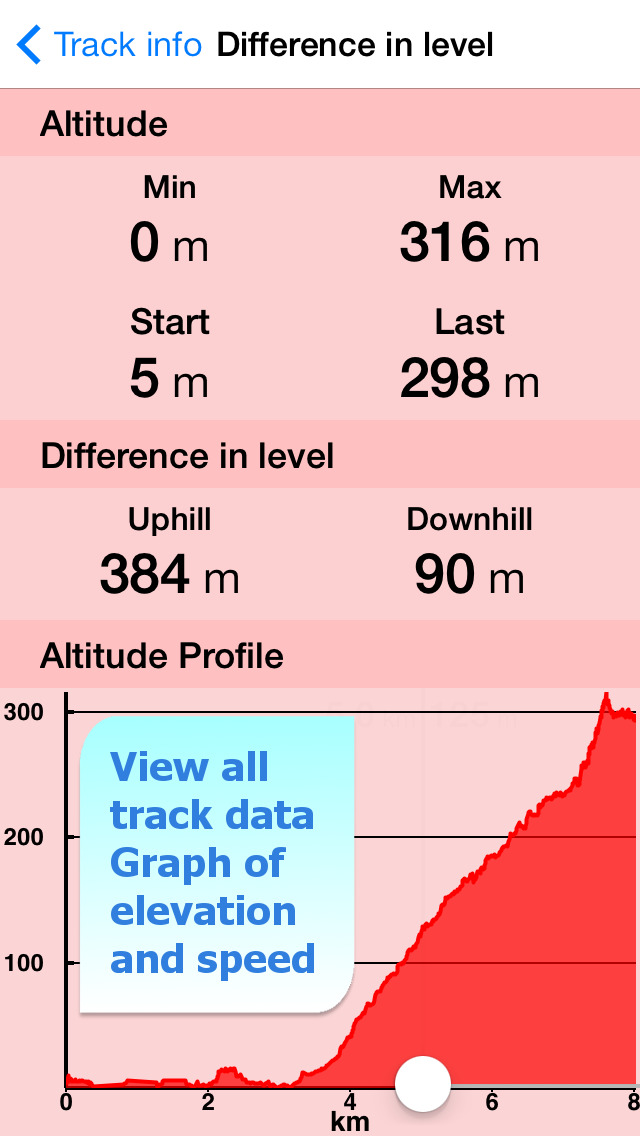
• Graph of the elevation profile
• Graph of speed and pace (time for a kilometer)
► OPTIMIZED BATTERY USAGE
The App is designed to use at the best the battery power to last for one full day (Note 1). The Battery Monitoring will stop the track recording when the battery is too low, in order to ensure the phone is still usable at the end of your outdoor's day.
► iOS BACKGROUND MODE
You can run the App in background and while phone is locked. Receive/make calls and texts while the track recording is running.
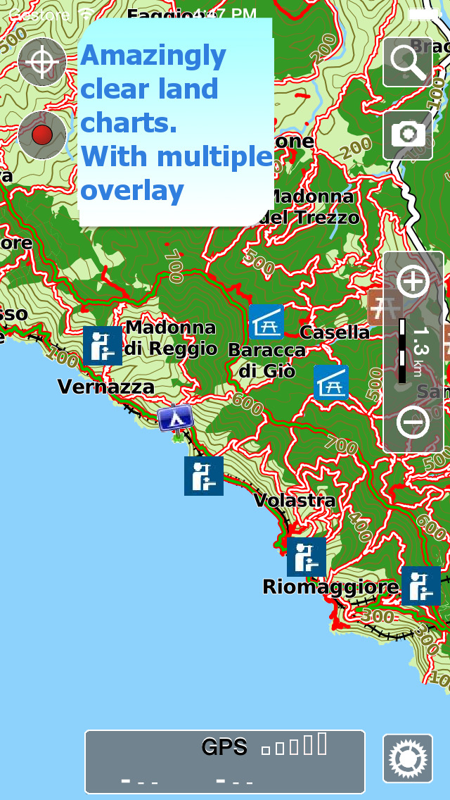
► MAPS
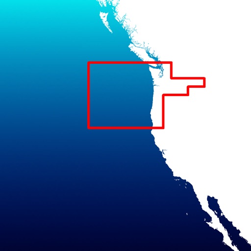
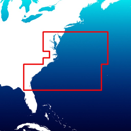
In your pocket the best topo maps with elevation contours, trails, huts, parks, etc. and all it is necessary to enjoy your best outdoor experience and no additional purchase is required. With an amazingly clear display at all zoom levels, you can use the maps without any Internet connection need.
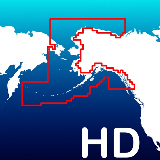
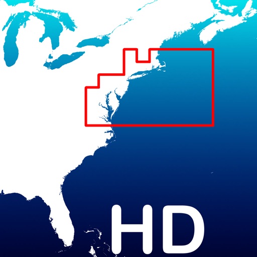
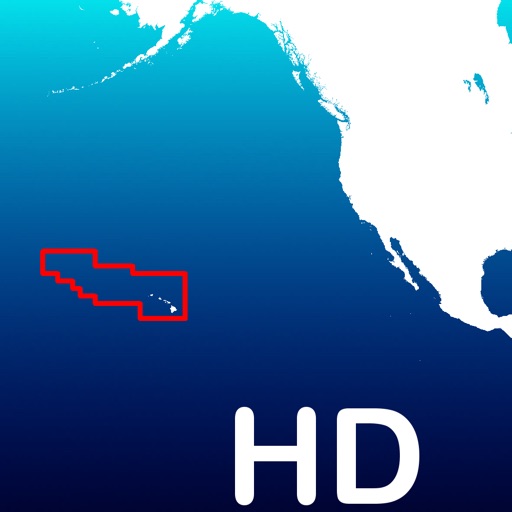
Check our maps at www.globalterramaps.com/Terra5Terre.html
► SHARING
Why do not share your favorite's markers on Facebook or sending an email with your last daily track, with all the pictures you captured (Note 2) to show them on Google Earth™ or Maps ? With this App it is just a click.
► SEARCH
Search by name of important places worldwide, search of objects around the GPS position or a map position.
► ELEVATION ANS SPEED GRAPHS
Record all important info of your track and plot the graph of elevation and the graph of the speed.
————
Note 1. iPhone 4 (12 hours), iPhone 4s/5/5c/5s (14 hours) - the effective battery duration depends by the battery condition, by the temperature, by other apps currently running in background mode and the phone usage.
Note 2. Pictures captured by the App while recording the track are automatically linked to the track itself, and sent with the track when you share it. To be noted that pictures captured within the App will be available on your iPhone internal archive too.
————
Like any GPS, the signal quality can vary very much depending by the amount of visible sky, foliage, weather condition, etc. GPS is not reliable indoor.
The continuous GPS usage, also in background, can drastically reduce the battery life.
For more information please visit our website at:www.globalterramaps.com or send us an email at: [email protected]
iPhone Screenshots
(click to enlarge)
iPad Screenshots
(click to enlarge)


App Changes
- July 31, 2014 Initial release
- August 31, 2014 New version 3.3
- September 27, 2014 New version 3.4
- November 03, 2014 New version 3.4.3
- April 27, 2015 New version 4.3
- May 06, 2015 New version 4.4
- May 16, 2015 New version 4.4.2
- June 13, 2015 New version 4.5.1
- July 01, 2015 New version 5.0
- August 25, 2015 New version 5.1
- October 27, 2015 New version 5.3
- November 15, 2015 New version 5.4
- February 02, 2016 New version 5.5
- March 09, 2016 New version 5.6
- March 26, 2016 New version 6.0
- November 08, 2016 New version 6.1
- December 20, 2016 New version 6.2.1
Other Apps From GEC s.r.l.