
What's New
Charts for the whole of France and Portugal now available
Fix for start up problems on iOS 17 when trying to load the charts.
App Description
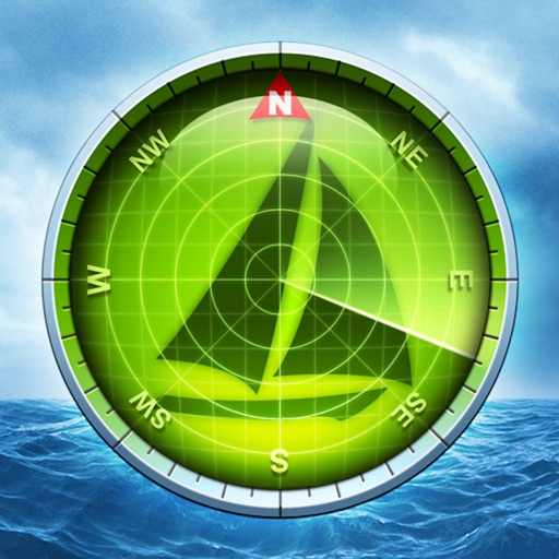
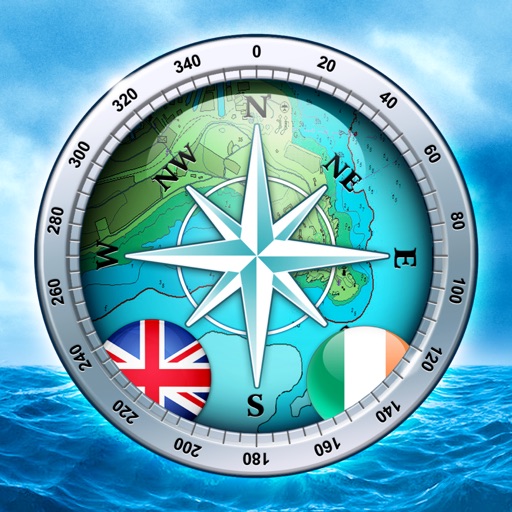
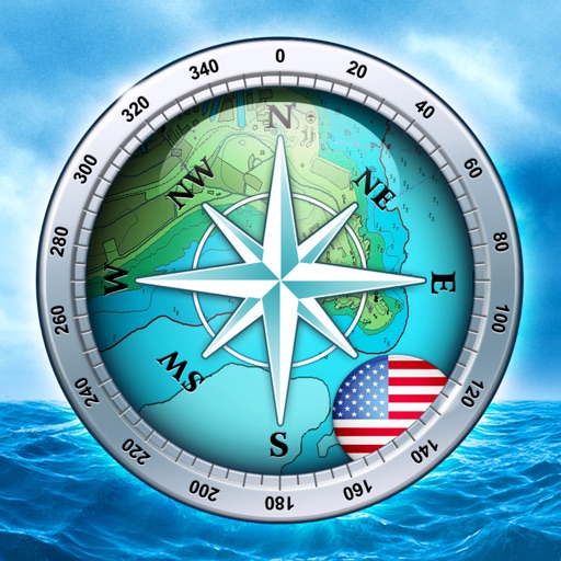
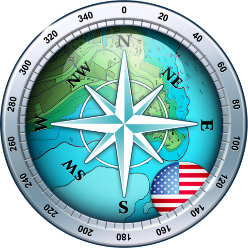
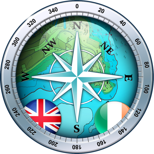
Explore, plan and navigate your boating trips in real time and outstanding high-resolution using digital charts derived from the latest NOAA and UKHO data providing coverage across the US and Europe (US, CA, UK & IE, DE, FR, NL, BE, DK, NO,ES,HR,PT). Raster charts for US, NZ, FI & EE.
- Vector charts - all buoys, lights etc. are tappable
- Seamless fast panning and zoom across charts
- Route Planning and real-time tracking
- North up and course up displays
- Offline charts
- Configurable layers
- Built-in tutorial mode with full features including charts, AIS, AR & wind
- Tides, Streams & Weather
- Live AIS Ship positions and collision alarm (IAP)
- Import and share routes and POIs in GPX and KML formats via email and Dropbox
- Live Augmented Reality camera view (IAP) plus FLIRONE® night vision support.
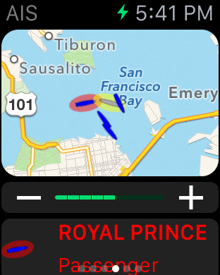
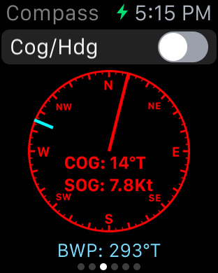
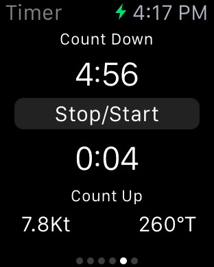
- Includes free Apple Watch app with Nav,Waypoint,Wind,AIS faces.
- NMEA Depth, Wind Speed and Direction
- Real time local wind feed (IAP)
The free version includes all navigation and trip planning tools. High resolution vector charts are available by In App Purchase (IAP) including updates for 12 months.
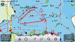
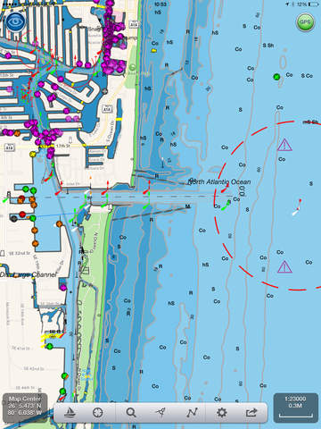
Vector charts provide many advantages over traditional raster charts. Buoys, Lights, Bridges, Depth Contours, Depth Soundings, Rocks, Anchorage areas, NOAA Weather Buoys etc. are all selectable and have real time distance, bearing and detail information. Turn off layers to de-clutter the display and only show what is important at the time. Tides, moon and sun times and weather are also all available at your fingertips.
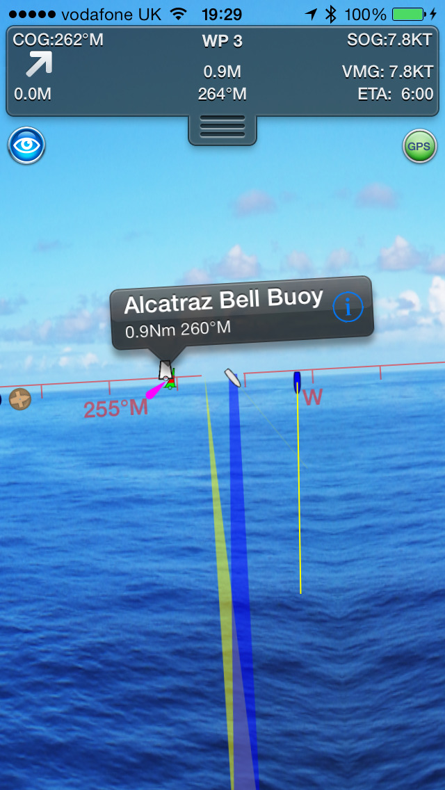
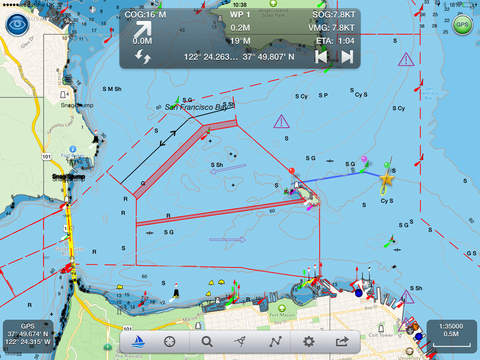
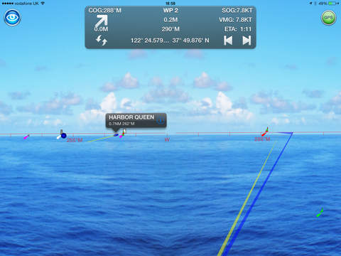
In-app tools let you measure distances and bearings and record waypoints on routes to sail. When you are out at sea, the app’s Sailing HUD shows your position on the route, Course over ground (COG), Speed over ground (SOG), Vector Made Good (VMG), Estimated Time of Arrival (ETA), Distance and bearing to next Waypoint. Waypoint reached alerts, auto-routing to the next waypoint and flashing collision alerts (with AIS).
Unique AR view mode (IAP) allows you to view buoys, lights, ships, waypoints, route and track overlaid on your iPhone or iPad live camera view. With "AR LockOn" you can select a target on the chart and then be guided to it in the AR camera view. You can also see at night and in the fog with the FLIRONE Infra-red camera.
External NMEA GPS, AIS and Wind data over Wifi.
Requirements:
GPS only required for real time route navigation. Optional Real time AIS, Tides and Weather information require an active internet connection.
WiFi-only iPad or iPods will need an external GPS receiver for navigation.
Please note that continued use of GPS running in the background can dramatically decrease battery life.
Subscriptions
Our in-app purchases are 1 year subscriptions, which automatically renew at the end of the subscription period unless auto-renew is turned off at least 24-hours before the end of the current period. Payment will be charged to your iTunes Account at confirmation of purchase, and will be charged for renewal within 24-hours prior to the end of the current period. Pricing for our 1 year US Charts update subscription is $19.99.
Subscriptions may be managed by the iTunes account holder and auto-renewal may be turned off by going to Account Settings after purchase.
No cancellation of the current subscription is allowed during active subscription period.
NOTICES: This product has been derived in part from material obtained from the UK Hydrographic Office with the permission of the UK Hydrographic Office, Her Majesty’s Stationery Office.” “© British Crown Copyright, [2012]. All rights reserved.
The UK Hydrographic Office (UKHO) and its licensors make no warranties or representations, express or implied, with respect to this product. The UKHO and its licensors have not verified the information within this product or quality assured it.
Terms of Use: http://seanav.net/termsofuse.php
Privacy Policy: http://seanav.net/privacy.php
Support: [email protected]
iPhone Screenshots
(click to enlarge)

iPad Screenshots
(click to enlarge)
Apple Watch Screenshots
(click to enlarge)


App Changes
- June 19, 2014 Initial release
- July 25, 2014 New version 3.1.2
- October 01, 2014 New version 3.2
- October 07, 2014 New version 3.2.4
- December 12, 2014 New version 3.2.5
- December 30, 2014 New version 3.2.6
- January 29, 2015 New version 3.2.7
- April 27, 2015 New version 3.4
- June 23, 2015 New version 3.5
- July 08, 2015 New version 3.6
- September 26, 2015 New version 3.6.2
- January 06, 2016 New version 3.6.3
- January 17, 2016 New version 3.6.4
- March 25, 2016 New version 3.7
- July 03, 2016 New version 3.8.2
- June 15, 2019 New version 5.1
- August 29, 2019 New version 5.2
- October 23, 2020 New version 5.2.1
- September 16, 2023 New version 5.4.4
- November 03, 2023 New version 5.4.5
Other Apps From Pocket Mariner Ltd.