
App Description
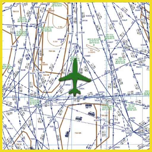
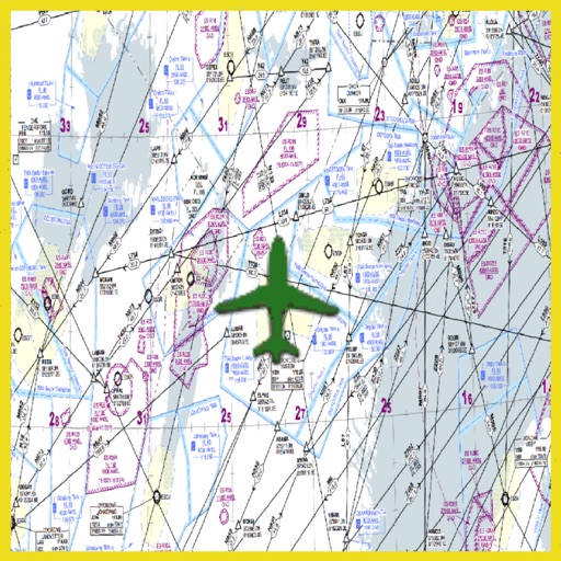
Grand Canyon VFR Sectional Charts. Charts scale 1:250,000. All charts are moving maps.
Grand Canyon VFR Aeronautical Chart covers the Grand Canyon National Park area in this popular flight area. Maps contains navigation information for the general aviation VFR pilots, and commercial VFR air tour operations navigation information map.
Special features on both sides of maps include:
1) Special Flight Rules Area (SFAR) for all aircrafts flying below 14,500 feet MSL
2) List 5 Flight Free Zones: where flying below 14,500 feet MSL is prohibited.
3) Shows corridors between Flight Free Zones where operations below 14,500 feet MSL are permitted.
4) List of special air-to-air communication frequencies and altimeter procedures.
5) Numerous VFR checkpoints for easy location id.
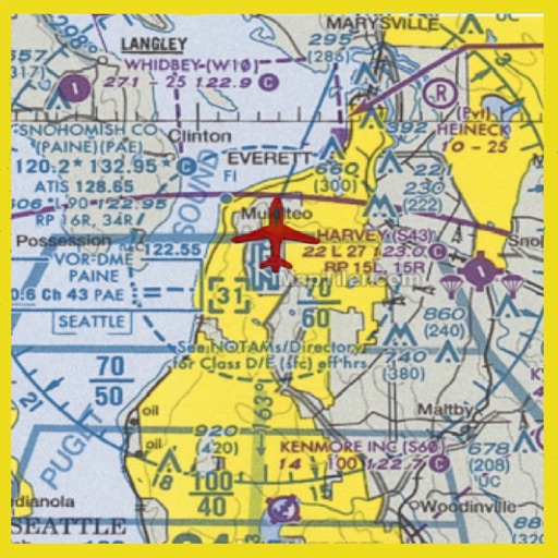
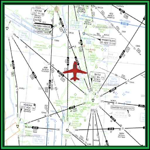
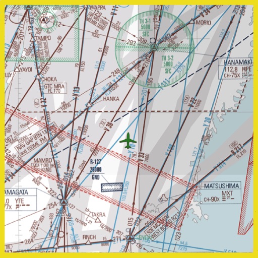
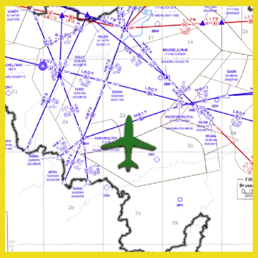
iPhone Screenshots
(click to enlarge)

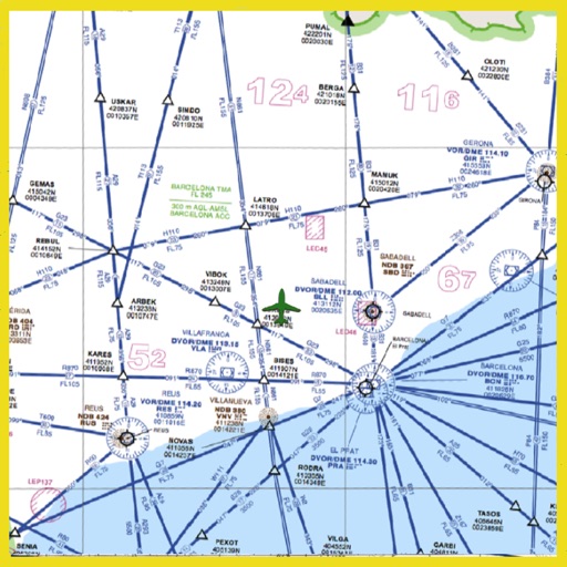
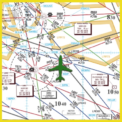
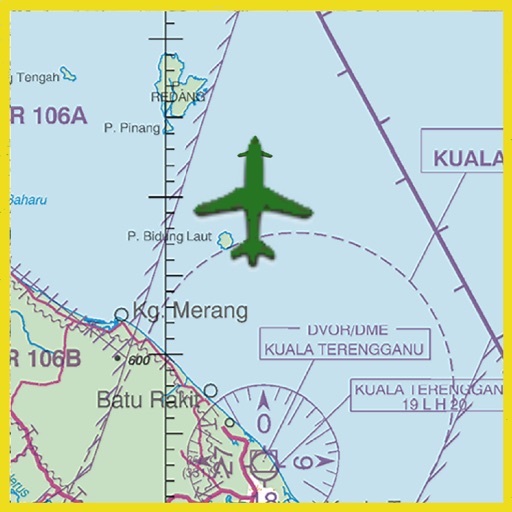
iPad Screenshots
(click to enlarge)

App Changes
- October 11, 2013 Initial release
Other Apps From Gamini Gurusinghe