
What's New
Deadly simple and elegant navigation UI.
App Description
vTransit is a public transit app that works well with the Maps app in iOS 6.
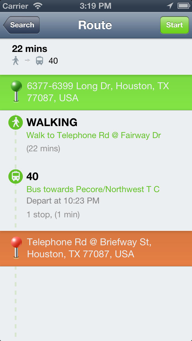
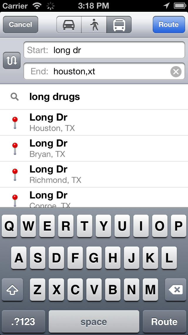
After you set start and end point in Maps ,tap route, then choose vTransit,we will show you all possible routes.You can see detailed route info, including which bus to take, when the bus/metro leave a station.There is also navigation feature, so you can take an step by step view of the entire trip.
Bus, train, light rail,metro,ferry and other public transit means are included in the search result.vTransit use data from Google Maps, so the data is very accurate.
vTransit is universal app, so you only buy once, and use it on both your iPhone and iPad.
If you have any problem ,please email us at [email protected] , we reply to every email. Please list your city, start/end point, departing time and what the problem is.
Follow us on twitter @VoyagerApps, and enjoy your journey!
iPhone Screenshots
(click to enlarge)


iPad Screenshots
(click to enlarge)


App Changes
- June 06, 2014 Initial release
Other Apps From Voyager Apps For Google Limited