
What's New
- Updated tropical cyclone name list
App Description
Unfortunately hurricanes are a fact of life along the Gulf Coast and East Coast of the United States. Every hurricane season (June through November) residents turn their attention to clouds in the Atlantic Ocean, Caribbean Sea, and Gulf of Mexico to see if anything develops.
The National Hurricane Center, part of NOAA, keeps an eye out as well for tropical cyclone development. They do an excellent job tracking and forecasting the storms.
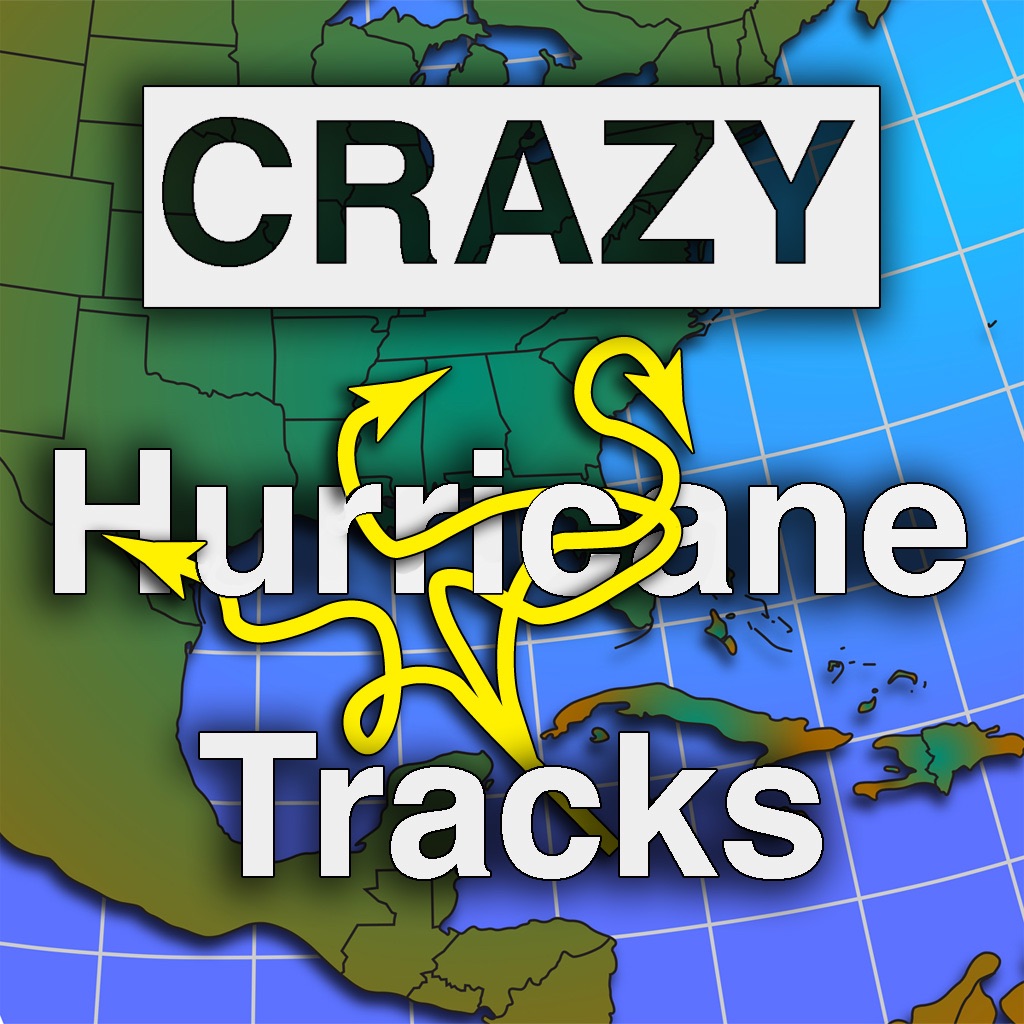
Occasionally, there will be a one tropical depression or tropical storm or hurricane that seems to get a mind of its own. It travels west, then east, then south, then west again or any number of directions. We’ve reviewed tracks from the last 150 years and come up with our top 30 most unique tracks.
This simple app shows you our top 30 craziest tracks for the Atlantic Basin. It also gives context to these tracks by providing the “typical” tracks for each month during hurricane season. We’ve plotted and included the major hurricane landfalls since 1900.
We also provide some basic information on tropical cyclone classifications, hurricane categories, Atlantic Basin names, and the geography of the Atlantic Basin.
This app does not track current hurricane activity. It is a reference for some past hurricane tracks.
iPhone Screenshots
(click to enlarge)


iPad Screenshots
(click to enlarge)


App Changes
- June 08, 2014 Initial release
Other Apps From TUA Outdoors, LLC