
App Description
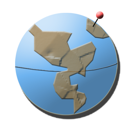
GeoHashing was invented in an xkcd comic strip. A geohash is generated by using the current date and the most recent opening of the stock market to calculate latitude and longitude coordinates. Each glaticule (1 degree by 1 degree section of the earth) has one position every day, so everyone on earth is reasonably close to a geohash that day. In addition, each day there is a global hash, which could be anywhere on the earth.
Geohasher provides a map and compass to pursue the day's geohash. The map shows the current glaticule and the geohash in that glaticule. To search a different glaticule, move the map to the desired location. As you scroll, the map will snap, to center the glaticule you are viewing. You can turn this off by clicking on the 'Don't Snap' button on the information screen.
Geohasher automatically loads the geohash for the current day.
CodeBurners is donating 50% of the ad revenue to organizations that test air and water of those affected by hydraulic fracturing (fracking). Go have an adventure, and while you're doing it, you're supporting a great cause!
If you like Geohasher be sure to give us a 5-Star rating!
Disclaimer: There is no guarantee the geohash coordinates are reachable. Use your best judgement when attempting to reach the coordinates. When in doubt, do NOT attempt to reach a destination. Obey all laws when pursuing a geohash.
iPhone Screenshots
(click to enlarge)


App Changes
- March 30, 2012 Initial release
Other Apps From CodeBurners