
What's New
revised and added new app links per revised iOS specs; if you grant permission, adds new current location marker on maps; minor bug and performance fixes
App Description
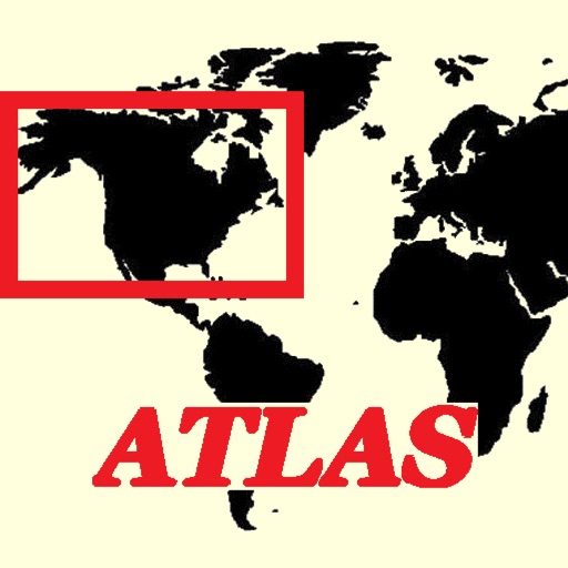
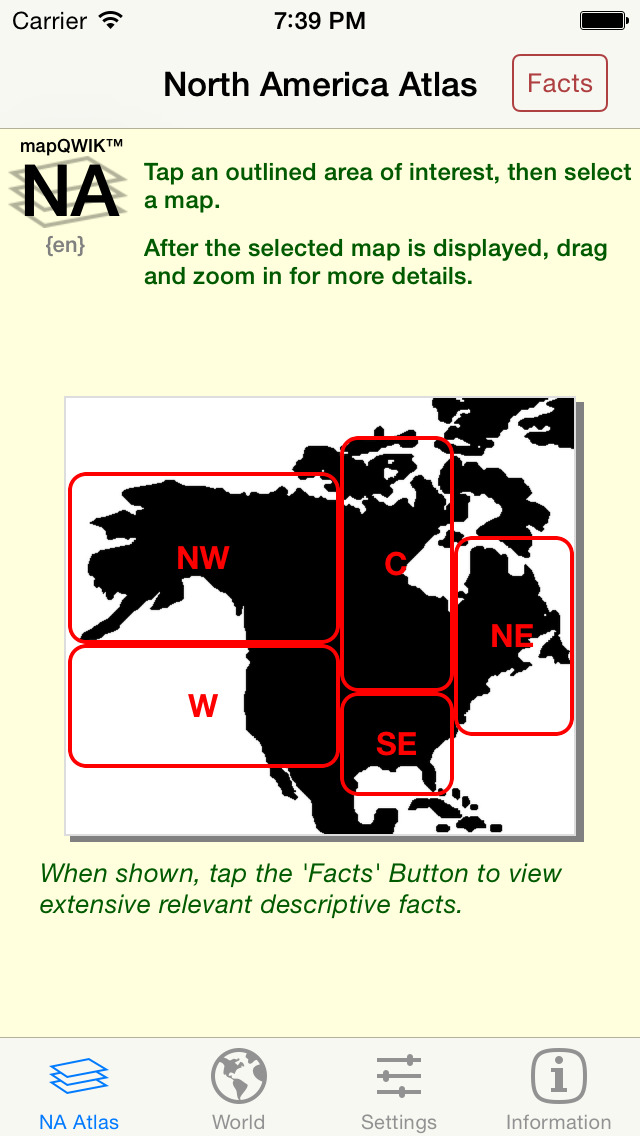
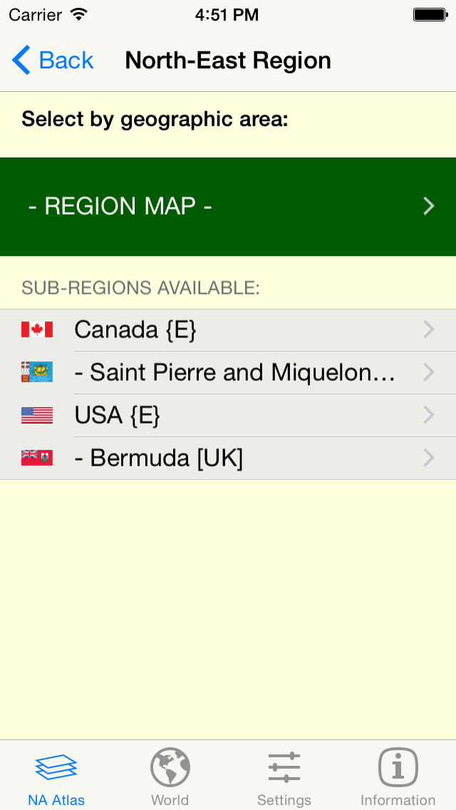
Our unique zoomable 'North America' map atlas is now available in the English [the Default], French, Spanish, German, Italian, Netherlands [Dutch], Portuguese (Europe), and Portuguese (Brazil) languages. This app generates custom real-time regional maps plus separate maps for all of the US States and Canadian Provinces and territories -- and for the very large metropolitan areas.
If you give permission in the Privacy Settings of your device, this version will also show your current location on the maps as a pulsating blue circular marker. If you adjust the map being displayed, your current location will be automatically updated using your device's GPS location.
Easily switch between 'Road', 'Hybrid', or 'Satellite' maps, and zoom in (and out) to any detail level desired -- down to the house level! Change to a different area of focus with the drag of a finger and your display is instantly updated.
Tapping a 'Facts' Button, when shown, retrieves extensive relevant interactive descriptive information from Wikipedia. By following indicated links, more facts and photos are available in a specific areas of interest.
Using a new 'Settings' tab, you can select the GPS Coordinates format to be displayed on all maps, or omit it. Three different popular display formats are supported: Traditional [dddmmss.xx] , Modern [ddd.xxxxx], and Geocaching [dddmm.xxx]. As you drag or zoom on a map display, the GPS coordinates of the center of the display are automatically updated.
Tap the camera icon to quickly capture the created map image to your device's Photo Gallery. [Later you can print or share this image with others via Facebook, Twitter, Flickr, or email using the Apple-provided 'Photo' app.]
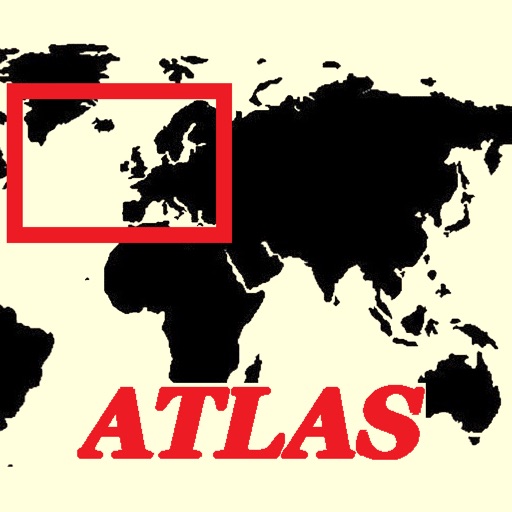
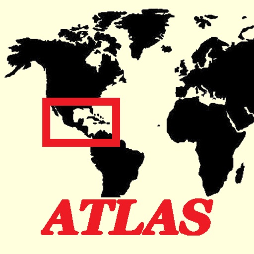
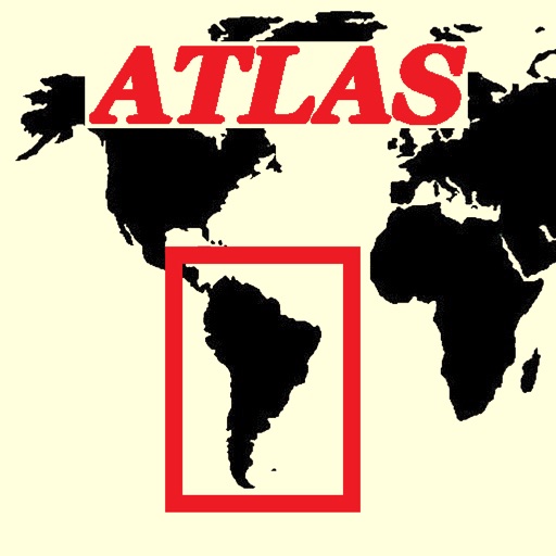
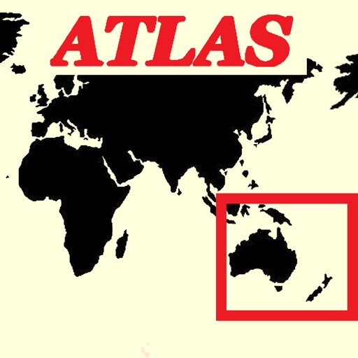
Using the 'World' tab, tap an appropriate button to launch any of the other component apps in our World Atlas series that are installed on the device.
iPhone Screenshots
(click to enlarge)


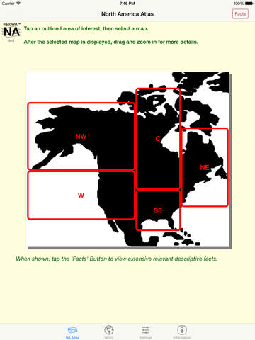
iPad Screenshots
(click to enlarge)


App Changes
- June 13, 2014 Initial release
- July 28, 2014 New version 5.0.0
- December 12, 2014 New version 6.1.0
- June 05, 2015 New version 6.3.0
- June 15, 2019 New version 8.1.0
Other Apps From Henry Vaughan