
What's New
Performance, usability and stability improvements
App Description
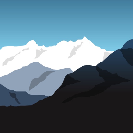
Find your trails (in Switzerland)
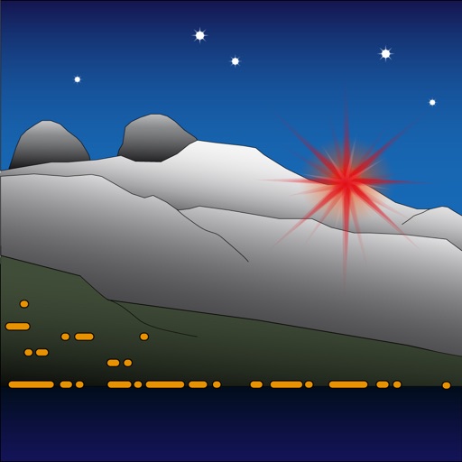
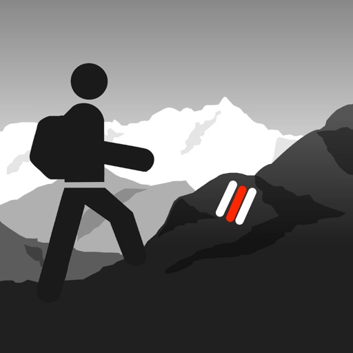
How to reach the summit? How much time to walk to the mountain hut? What are the hikes in the area? Which is the shortest path?
Answers in Sentiers, the swiss hiking app.
- Covers all of Switzerland
- Topographic maps
- Hiking paths and roads
- Itineraries
- Walking times
- Profile, ascent and descent
- Search localities, summits, huts and other places
- Itinerary sharing
- Bookmarks and history
iPhone Screenshots
(click to enlarge)


iPad Screenshots
(click to enlarge)


App Changes
- August 28, 2013 Initial release
- October 11, 2013 New version 1.2
- August 02, 2014 Price decrease: $3.99 -> $0.99
- August 05, 2014 Price increase: $0.99 -> $3.99
- August 02, 2015 New version 2.0
- August 02, 2015 Price decrease: $3.99 -> $0.99
- August 03, 2015 Price increase: $0.99 -> $7.99
- July 13, 2016 New version 3.1
- June 14, 2019 New version 4.1
- September 28, 2019 New version 4.1.1
Other Apps From Senten Sarl